Portola Redwoods State Park, California - August 24th to 26th, 2024
Portola Redwoods State Park is yet another state park among the California coastal redwoods. Portola Redwoods State Park and Humboldt Redwoods State Park are not part of the Redwood National and State Parks, but are two parks operated solely by California to protect more of the redwoods. We drove through Humboldt on the way to the Van Damme State Park just a few days earlier (Van Damme State Park, California - August 20th to 21st, 2024), so Portola was our last destination among the giant trees.
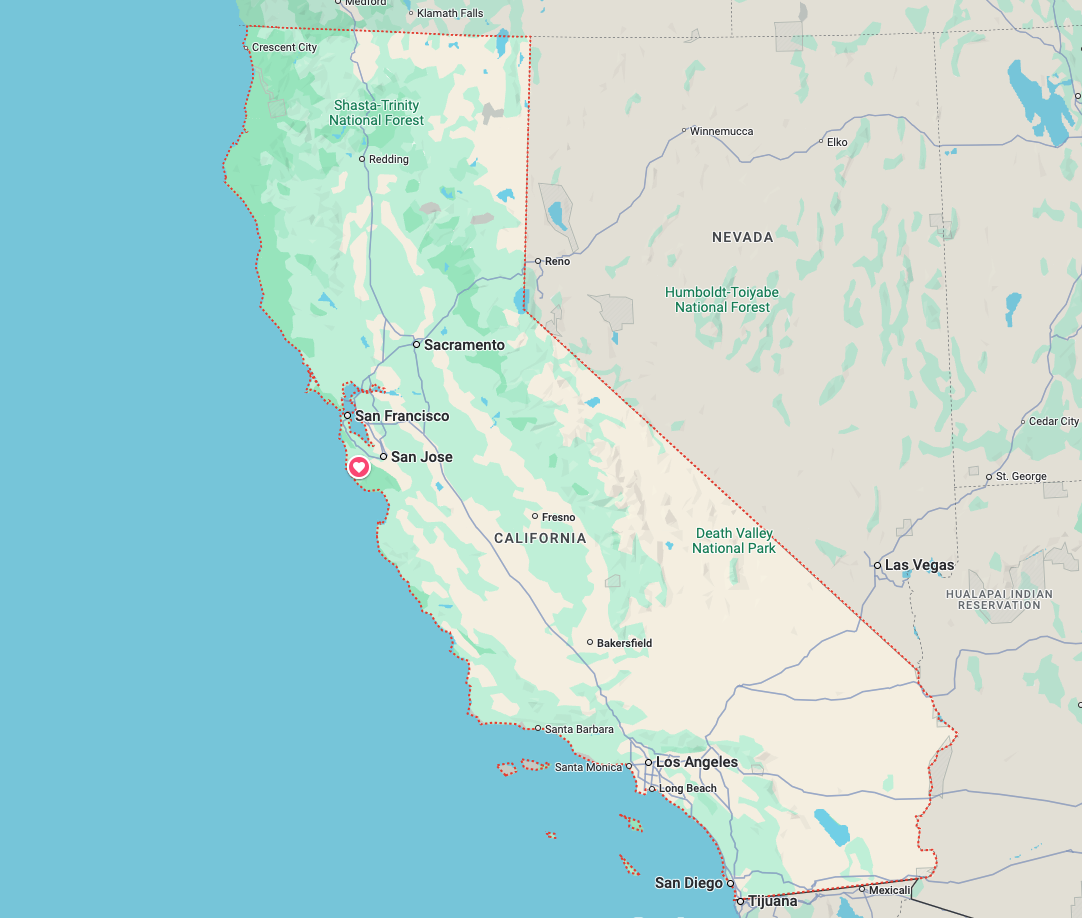
Saturday was a long travel day, from Sonoma Coast State Park to Portola Redwoods State Park. It was a shock to our systems as we traveled through the highly populated area of San Francisco. We hadn’t been in a city since Olympia which was about a month prior. And Olympia is not a large city (Olympia, Washington - July 26th, 2024).
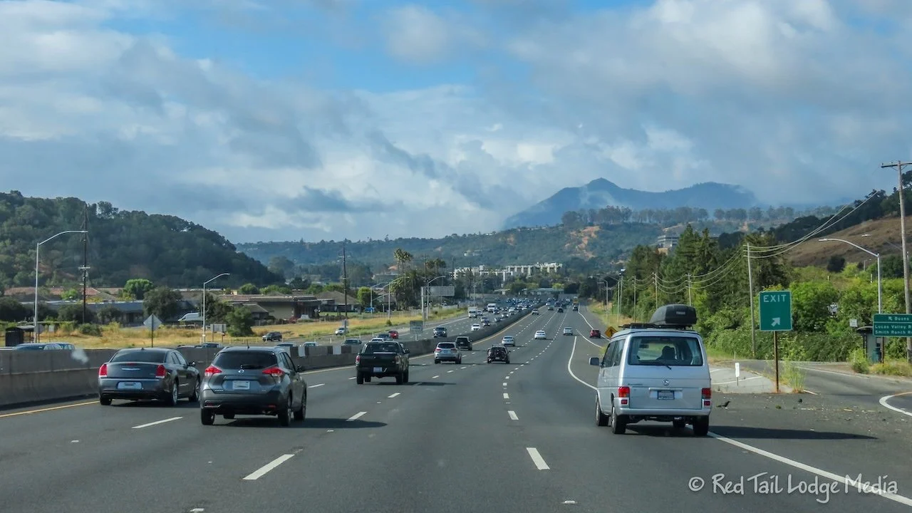
We intended to stay on California Highway 1 most of the way, but we missed a turn on our way to Sausalito. We didn’t have Google Maps on because it kept trying to route us a faster way than Highway 1. However, we somehow missed a turn and didn’t realize it until we were in Petaluma. So we turned onto US 101 to reach Sausalito, via the route Google Maps wanted to take us from the beginning. Oh well, you win some and you lose some. At this point, US 101 is an eight lane freeway with heavy traffic, not our preferred type of road to drive.
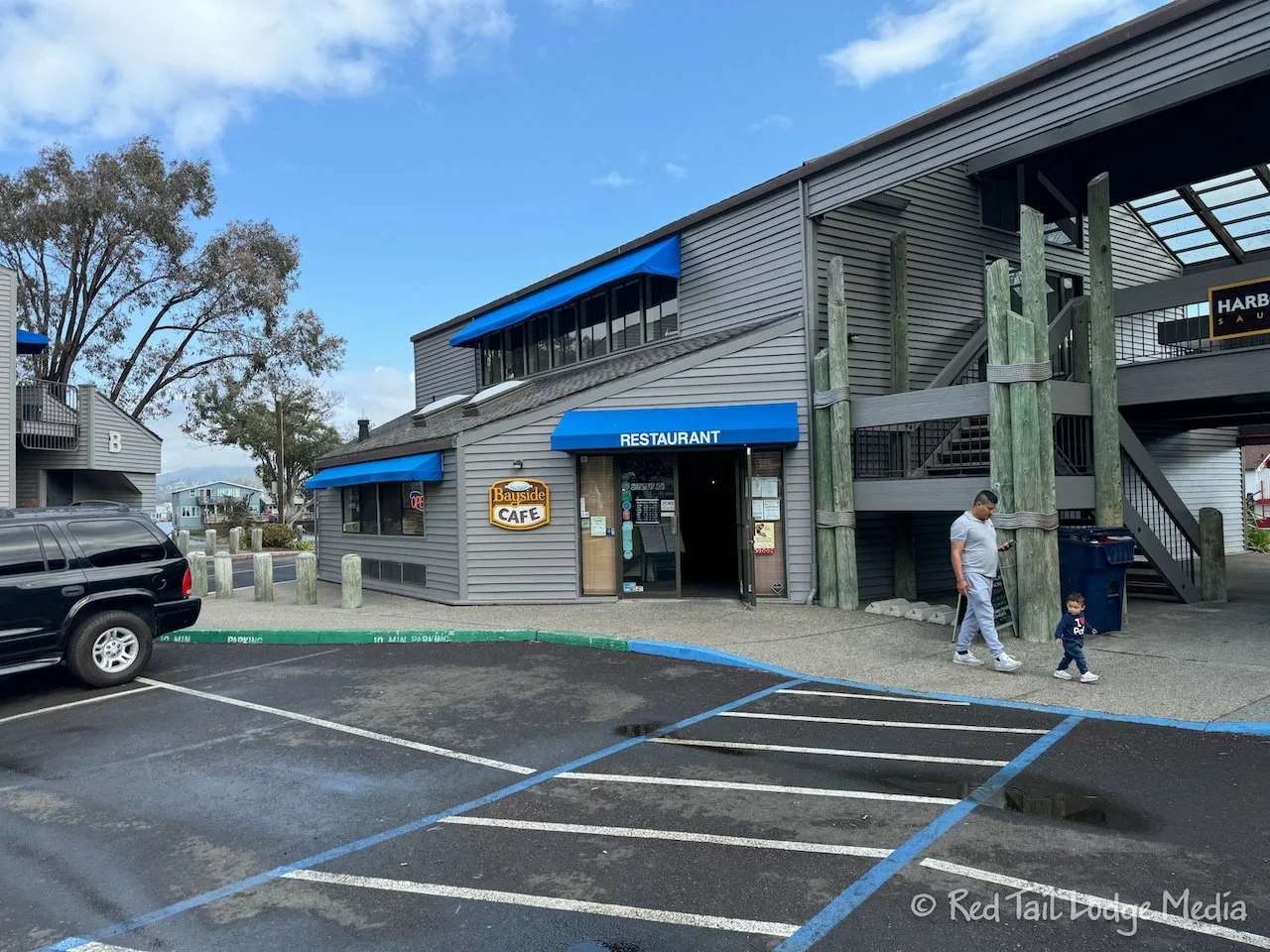
In Sausalito, we stopped to do laundry. Launderland is located right off the highway, next to Richardson Bay Marina. The Bayside Café is in the same building of the little shopping strip. We started our day early and the route we took was much faster than Highway 1, so it wasn’t quite lunch time yet, only about 10:30 am. But we liked the convenience of having lunch while we waited for our laundry to finish, so we had an early lunch.
The cafe was hopping. It was a Saturday, and there were a lot of people having a mid morning brunch. Keith ordered the eggs Benedict with hash browns, while Ann enjoyed the California burger with sweet potato fries. The food was tasty and we managed to complete our meal before our laundry was done. Perfect timing. We even had time to go into the bike shop next door to buy some bike lights. After our close call in Crooked River (Crooked River, Oregon - June 19th to 22nd, 2024), we wanted flashing lights facing both front and rear so that we are more visible when riding our bikes on roads. The lights we bought can be switched to red for rear facing or white for front facing.
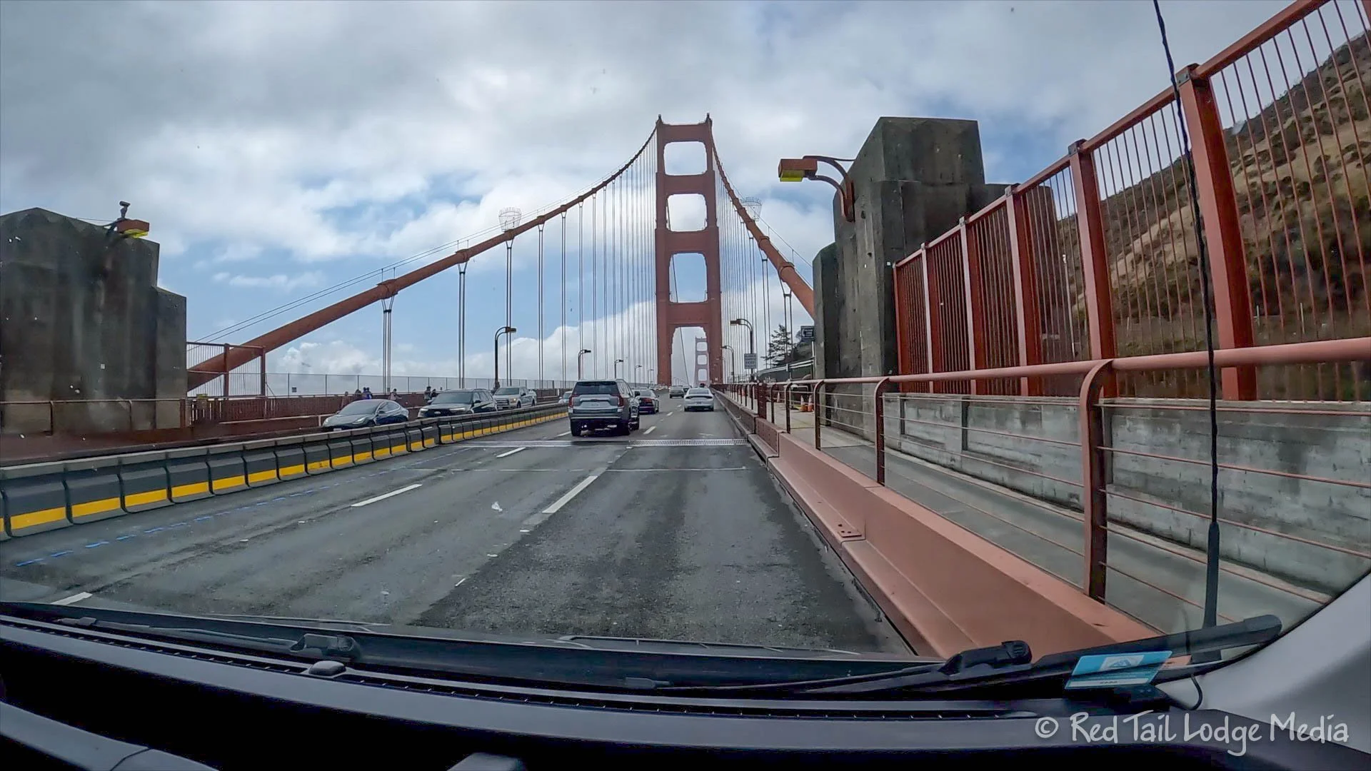
Then it was time to cross the Golden Gate Bridge. There is a toll booth on the south side of the bridge, only for the south going traffic. Thankfully, it was a drive through booth, so we assume we’ll be getting a bill in the mail. We’ll let you know how much it was for us (an invoice of $10.25 was mailed to us a few weeks later).
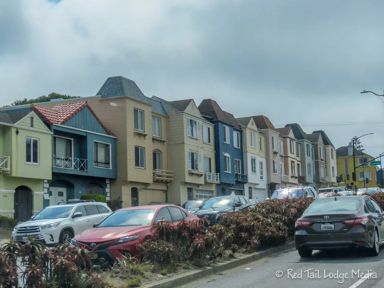
Highway 1 had joined US 101 in Sausalito. Then, after the bridge, Highway 1 continues straight through the neighborhoods of San Francisco. The town homes and houses alongside the highway were cute, but we wouldn’t want to be pulling out of their driveways onto the highway. Most of the homes had garages on the ground floor, with one or two stories above them. We imagine each block having courtyards in the center. The neighborhoods looked very inviting, with a sense of community. Not bad for a large city.
We made two more stops along Highway 1. First we stopped in Pacifica for groceries and gas, then we stopped in the small town of Half Moon Bay. Half Moon Bay was a cute town, with the downtown area lined with little shops, bakeries, and restaurants. We strolled the streets to stretch our legs and stopped at the Half Moon Bay Bakery for pastries and drinks.
At San Gregorio, we turned off of Highway 1 and onto route 84, heading inland into the Santa Cruz Mountains. Just before La Honda, we turned onto Pescardero Creek Road which led us to Alpine Road and ultimately to Portola Redwoods State Park. The last nine miles from route 84 were on narrow, twisting roads with hair pin turns, but at least it was paved with not many potholes. The park campground caters to tent campers, but there are a handful of RV sites, limited to 24 feet in length. We wouldn’t want to take anything larger than that let alone a trailer on those roads (we found a slightly better way when we left the park after our stay).
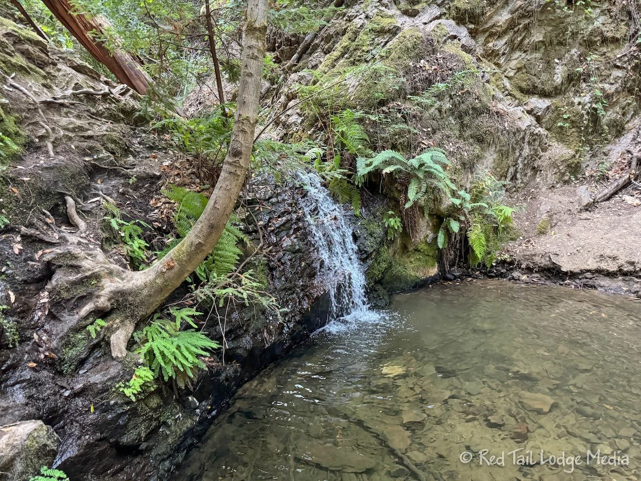
Being a weekend, the campground was full of local families with younger children. The kids were having a great time riding their scooters and bikes around the campground. Before dinner, Ann took a short trail up to Tiptoe Falls to get some steps in. She was impressed to see families with small kids happily hiking the somewhat steep trail to the falls. It took Ann about an hour to walk the Iverson Trail to Tiptoe Falls from our camp site, covering 2.4 miles with an elevation gain of 348 feet. The falls were cute, but small. They were a nice destination for a short hike through the woods, passing through some small groves of redwoods.
By noon Sunday, most of the campground cleared out. We’re guessing the majority of the campers were local, just camping for the weekend. A few new people arrived by evening, but the campground remained mostly empty, and a lot quieter.
After lunch, we went for a hike. We followed a track on AllTrails called Shingle Mill and Upper Coyote Ridge via Pomponio. The track started at a trailhead outside the park, but we were able to join it from the Iverson Trailhead, just beyond the visitor center, across from the Madrone Day Use parking area. Most of the route was actually outside of the state park and in the neighboring Pescardero Creek County Park.
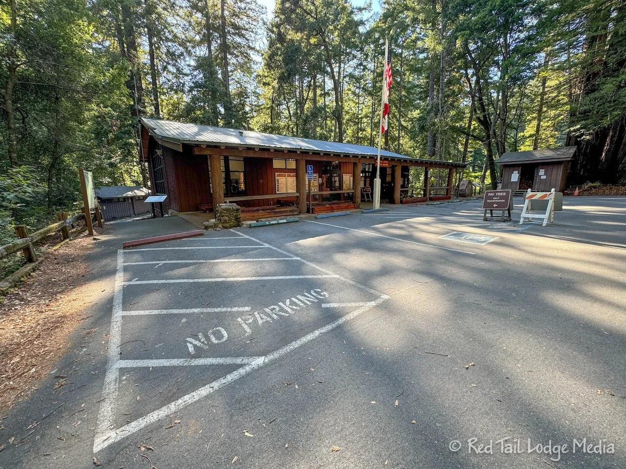
On the way to the trailhead, we stopped by the Visitor Center to check their hours. Buying a treat after our hike sounded good. It turned out that the Visitor Center itself was open into the evening, but the gift shop, which sold the drinks and snacks, was only open for another half an hour. The gift shop is run separately and they were having staffing issues, so it was only open for an hour or two that day and closed the whole following day. So we bought a couple of cans of Coke and walked them back to our fridge in Red Tail (our Winnebago EKKO) before starting our hike.
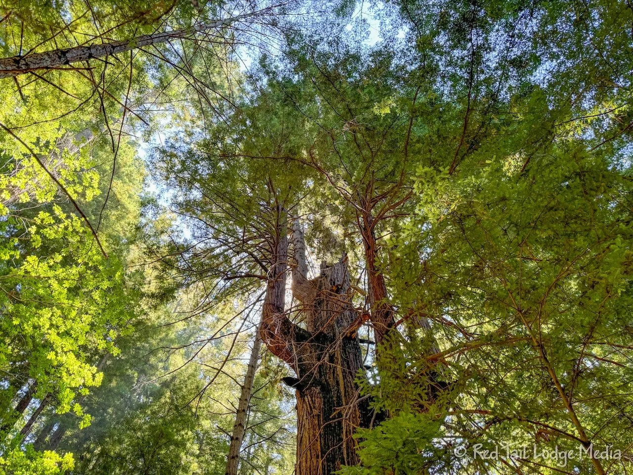
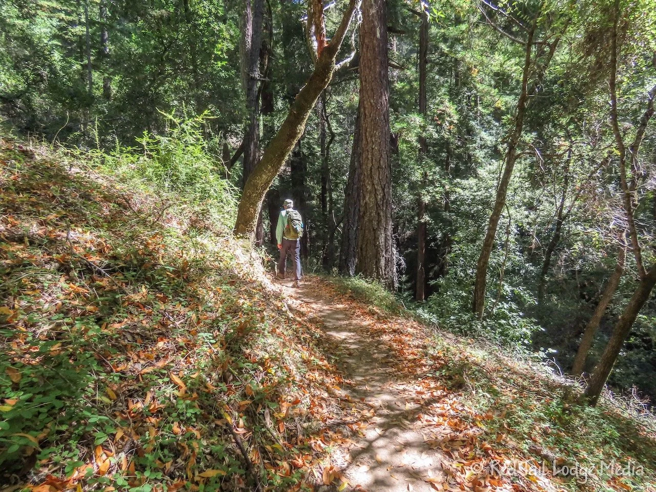
There were a handful of redwood groves along the route along with one short section with a few views. Other than that, it was just a peaceful walk through the woods. We pretty much had the trail to ourselves, passing only one group of three people the whole time we were on trail.
By the time we returned to our camp site, we covered 6.4 miles with an elevation gain of 1165 feet which took us about three hours to complete, including the extra round trip between Red Tail and the Visitor Center. It was hike 52 of our 52 Hike Challenge for 2024. We completed the challenge! Yay!
Monday we went on another hike. This time we started a little earlier and were on trail by 10:30 am. The trail was called Slate Creek. The route in AllTrails was almost nine miles, but a reviewer advised to skip the last mile, as it was just an uphill climb to the top of a ridge, with no views and nothing to see along the way. So that was our plan.
We found the Slate Creek Trail prettier and more interesting than the hike the day before. And again, we pretty much had the trail to ourselves. At the beginning of the hike, a group of three backpackers were on their way out. When we reached the backcountry campsite, there were a couple of backpackers still there. Then we saw two hikers near the start of the trail on our way back out.
The trail passes through several redwood groves. After the backcountry campsite, we reached the Page Mill site along Slate Creek. The Page Mill was a mill for making shingles. Nothing remains from the mill, just a sign about the site.
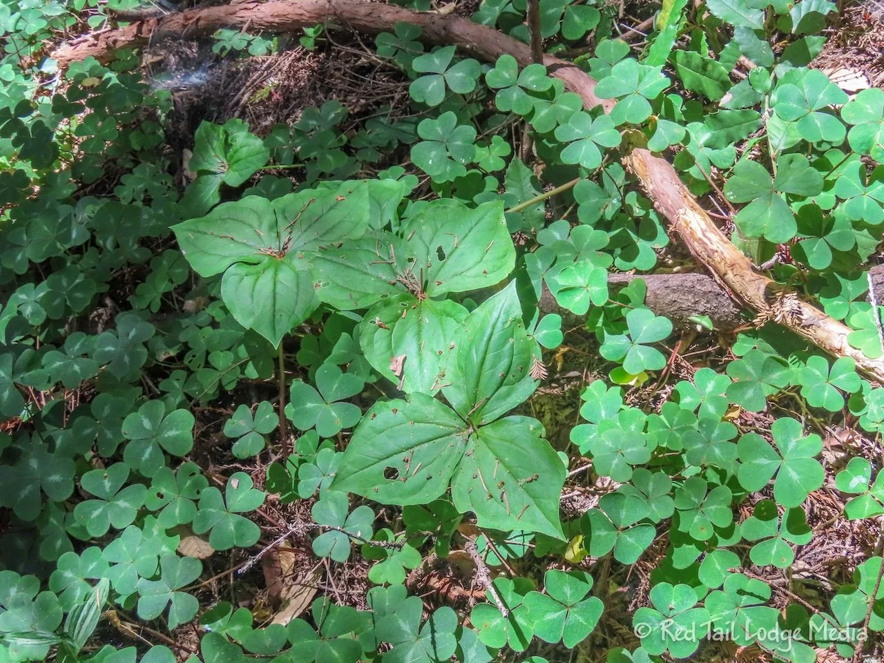
The prettiest part of the trail was after the mill site. Redwood trees surrounded us. A green carpet of large clover, called redwood sorrel, covered the ground. Slate Creek flowed next to the trail with a wonderful, soothing sound of flowing water.
About half a mile or so, the trail crosses Slate Creek. There is no bridge, but it looked easy enough to cross. However, this was our turnaround point, so we didn’t have to cross the creek. We returned to the Page Mill site to sit on a log and enjoy our lunch while staring and listening to the water in the creek.
By the time we returned to Red Tail, we had gone 7.9 miles with an elevation gain of 1263 feet in about four hours. It was hike number 53 for the year.
After relaxing for a while and taking showers, we walked over to the Visitor Center and browsed the displays inside. Most of the information was about the different animals and plants in the area.
Although Portola Redwoods State Park was not quite as stunning as some of the other redwood state parks we visited, it was still a pleasant place to camp and hike. During the week, it was also very quiet and relaxing.
Check out our related video: Portola Redwoods State Park, California
(Ann)


