Mount Saint Helens, Washington - July 2nd, 2024
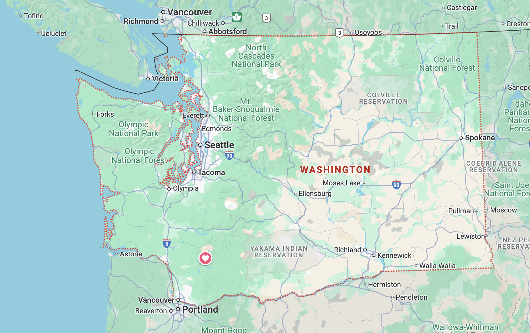
Mount Saint Helens National Volcanic Monument was about an hour’s drive from where we were camping in Lewis and Clark State Park. It made for a long day, but it was so worth it. Having been alive when the mountain last erupted, we definitely wanted to see it for ourselves.
We spent Tuesday at Mount Saint Helens National Volcanic Monument. From the town of Castle Rock, we drove east on US route 504, Spirit Lake Highway. Mount Saint Helens erupted on May 18, 1980. We are both old enough to remember the event. The destruction was massive, with 57 people losing their lives along with 200 homes, 47 bridges, 15 miles of railway, and 185 miles of highway. Ash from the eruption covered 22,000 square miles, over the states of Washington, Montana, Idaho, Wyoming, Colorado, North Dakota, South Dakota, and Oklahoma. Keith remembers the skies in Ohio taking on an orange hue.
The Spirit Lake Highway is one of three entrances into the National Volcanic Monument, ending at the Johnston Ridge Observatory. However, when we were there, the highway was closed past the Coldwater Visitor Center due to a landslide that happened in May of 2023. That section of highway is expected to remain closed through 2025 as they repair the road. The Spirit Lake Highway was built after the eruption, routed well above the valley floor of the Toutle River, in an effort to avoid any mud flows from any future eruptions.
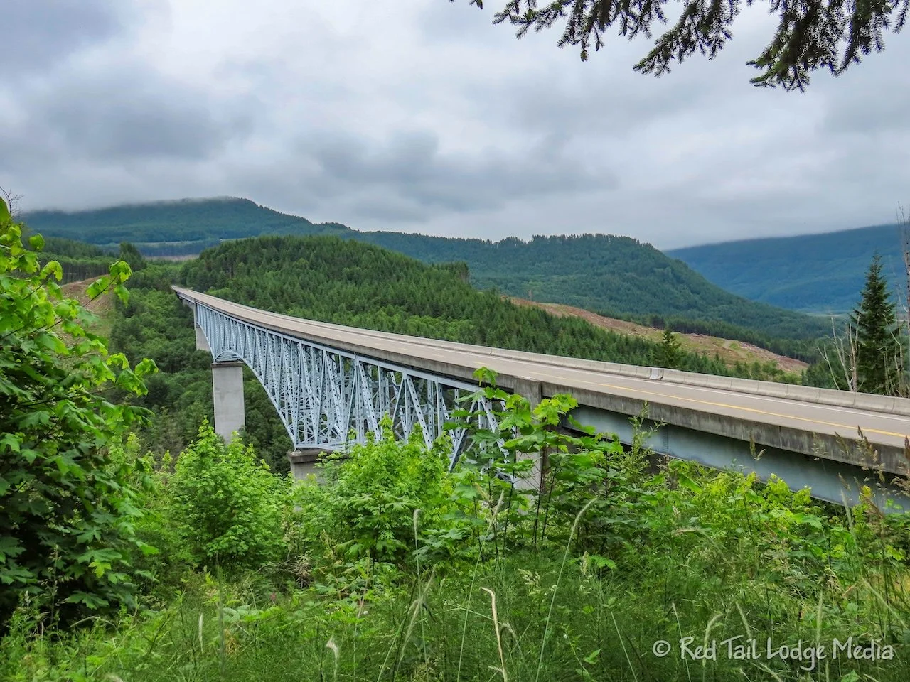
On our drive to the Coldwater Visitor Center, we made two stops. The first was to view the Hoffstadt Creek Bridge and the other at the Mount Saint Helens Forest Learning Center. Both sites are maintained by Weyerhaeuser, the timberland company that owns much of the forests surrounding Mount Saint Helens. The Forest Learning Center has some nice displays and a short, four minute film about the eruption. Most of the displays are about the company’s forestry operations. There are also some nice views out over the valley. There might even be views of Mount Saint Helens from there, but it was a cloudy morning, so all we could see was the valley below.
After entering the monument, there are two overlooks along the highway. However, we didn’t stop because the fog settled in and it started to lightly rain. There’s no sense stopping if there’s no view.
When we reached the Coldwater Visitor Center, visibility was still poor. There is a wall of windows in the back of the visitor center, with comfortable benches to sit and take in the view of the mountain, but we only had fog to look at.
There was a 20 minute movie in the theater of the visitor center which was very informative. After checking out the displays, we drove down to the Hummocks Trailhead, just before the road closure. We sat inside Red Tail, eating our lunch, hoping the weather would clear.
After lunch, it looked like the skies were starting to lighten up. We decided to go for a hike anyway and keep our fingers crossed that we’ll get to see the mountain before we left the area.
The Hummocks Trail is only 2.4 miles long, but the ranger at the visitor center suggested heading out the Boundary Trail to add some miles. There is also a trail along Coldwater Lake, but the ranger said there are no good mountain views from the lake.
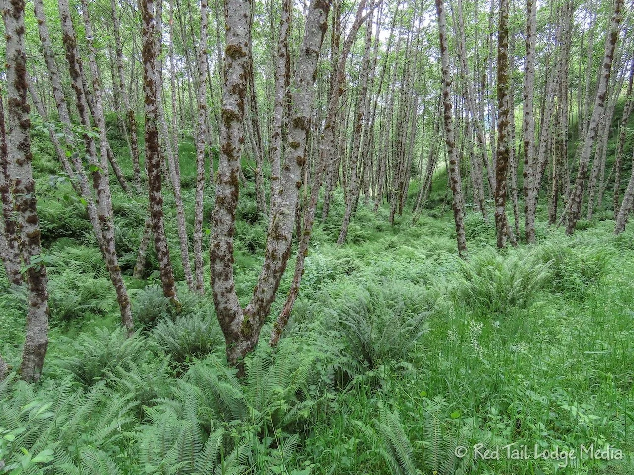
We took the Hummocks Trail loop in the counter-clockwise direction, so the longer section of the loop was before reaching the Boundary Trail. The loop was mainly in the woods, alternating between winding among the trees and following alongside ponds among the ferns. There were wildflowers everywhere. A view of the surrounding mountains would open up every now and then. The sun came out, but clouds still surrounded much of Mount Saint Helens. A little more of the mountain would be visible each time it came into view.
The hummocks are an area where mounds of rock formed from the avalanche caused by the eruption. The Boundary Trail led over to some much larger mounds.
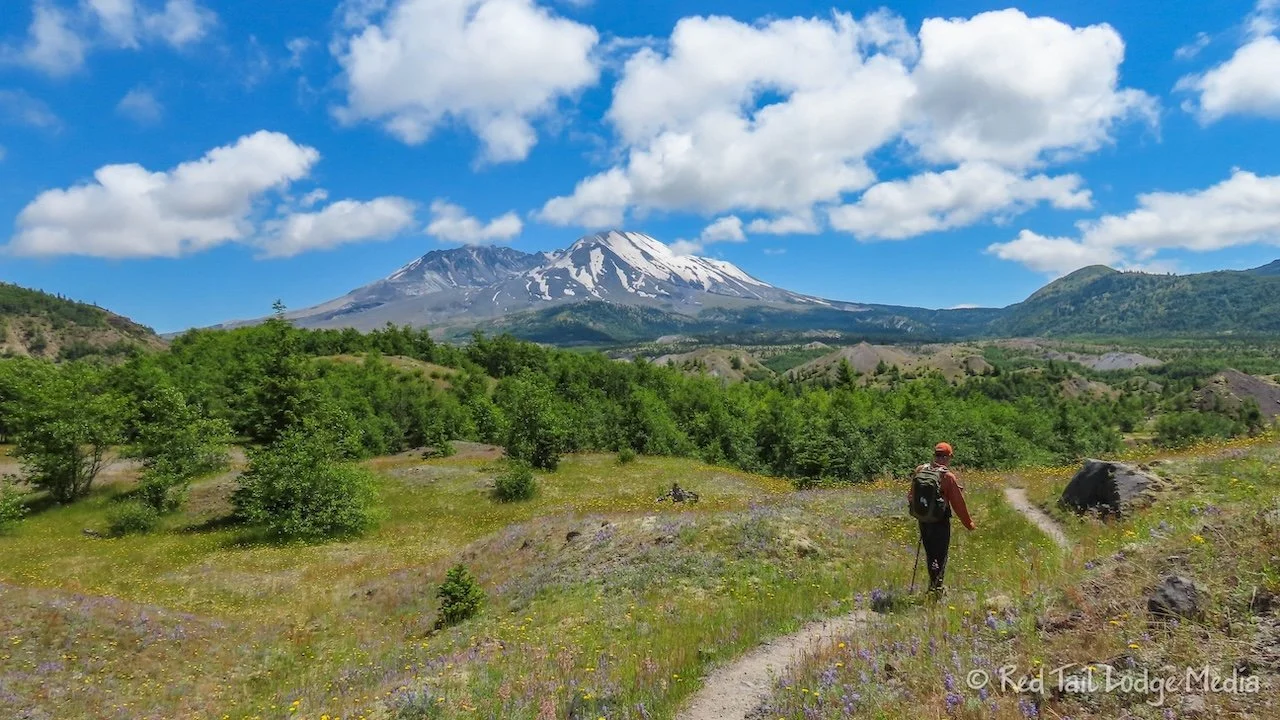
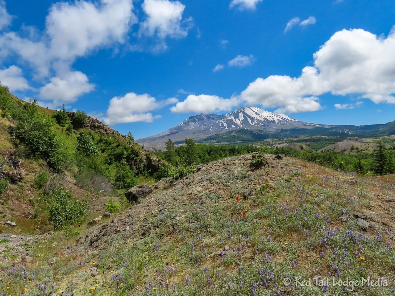
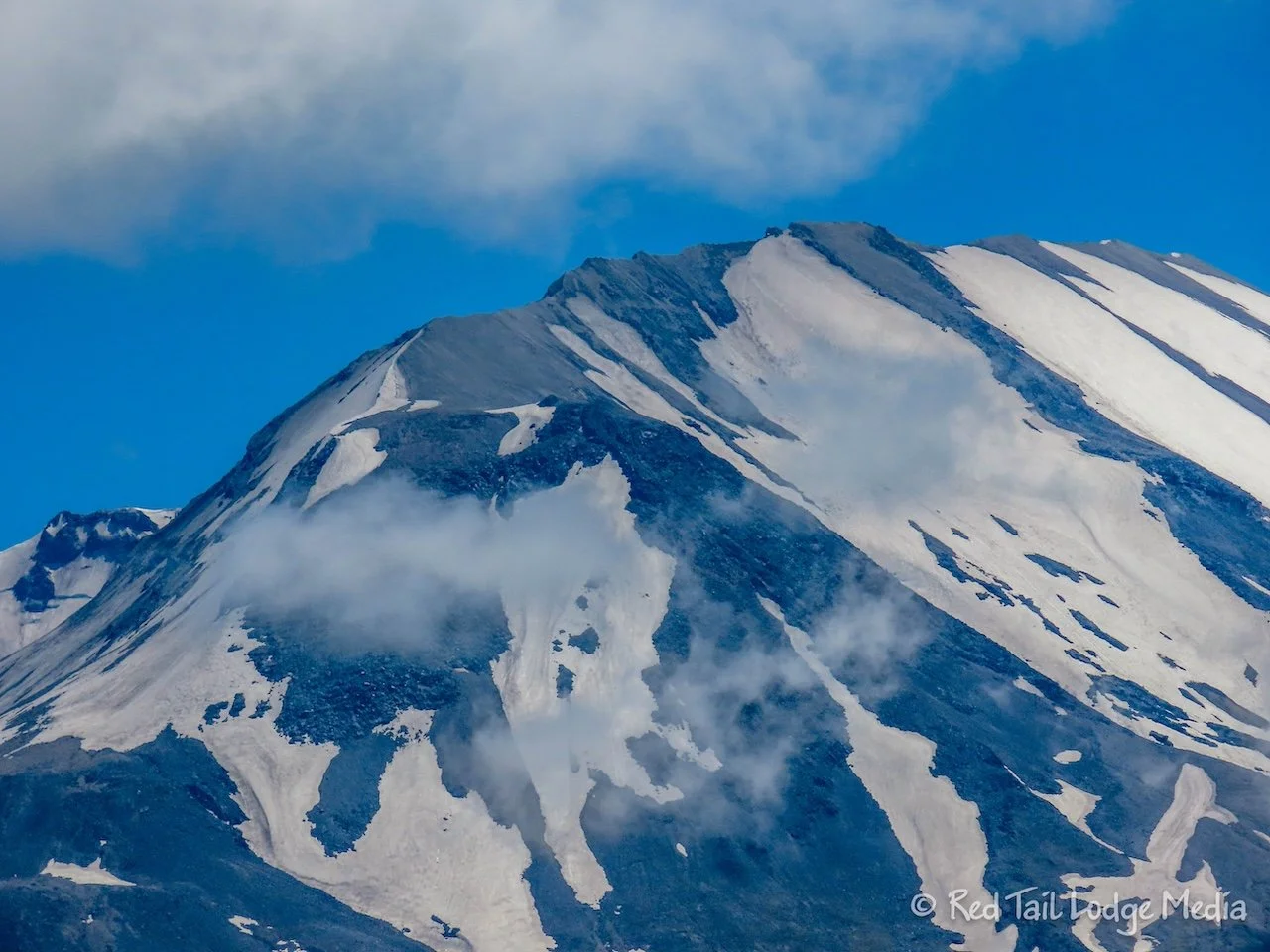
There is a lovely viewpoint where the Boundary Trail intersects the Hummocks Trail. The mountain was almost completely visible at this point. We headed up the Boundary Trail for about a mile, just before it ascends up to a ridge. The Boundary Trail was more out in the open than the Hummocks Trail. Mount Saint Helens was straight in front of us, in view most of the way. It finally was in full view without any clouds in front of it.
The wildflower-covered ground made a wonderful foreground for the mountain view. It was nice to see that the area which was so barren after the eruption is now, after 44 years, so lush and full of life.
Even though we didn’t continue on the Boundary Trail up to the top of the ridge, there was one short steep section that we did climb up. It wasn’t much of an issue going up, but it was difficult, at least for us, going down that section. The trail was loose gravel and dirt at that point. Both of us chose to scoot down on our butts, on all fours, to avoid slipping and falling. We don’t need any injuries to prevent us from enjoying the rest of our travel season.
By the time we returned to the trailhead, we had gone 4.5 miles with an elevation gain of 577 feet in two hours and 35 minutes. It was hike number 32 of our 52 Hike Challenge for 2024.
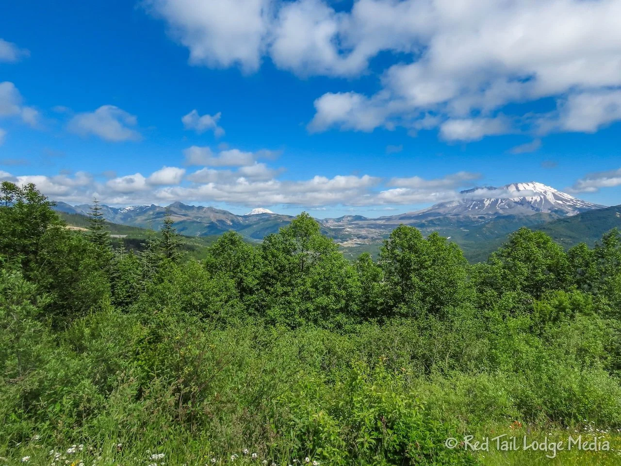
Now that the sun was out, we stopped at the two viewpoints on our drive back out, Castle Lake Viewpoint and Elk Rock Viewpoint. They were both worth stopping at as long as the skies were clear. We could even see Mount Adams in addition to Mount Saint Helens from the Elk Rock Viewpoint.
Keith was out of beer, so we stopped at the Cascade Select Market in the cute town of Castle Rock. While we were there, we also bought a couple of Cokes and a package of Fat Boy ice cream sandwiches. We’ve never had Fat Boy before. The mint ones had a nice strong flavor. The chocolate cookie layers stuck to the roof of our mouths, just like the ice cream sandwiches of our youth. Ann still prefers the It’s It novelties we had in Sequoia National Park (Sequoia National Park Revisited - May 23rd to 30th, 2024).
Visiting a place where events took place earlier in our lifetimes brings a deeper understanding of the event. Seeing Mount Saint Helens in person brought more meaning to the scale of the eruption. Driving along where the mud flows traveled and hiking in the shadow of the mountain made the statistical numbers come to life.
Check out our related video: Mount Saint Helens, Washington
(Ann)

