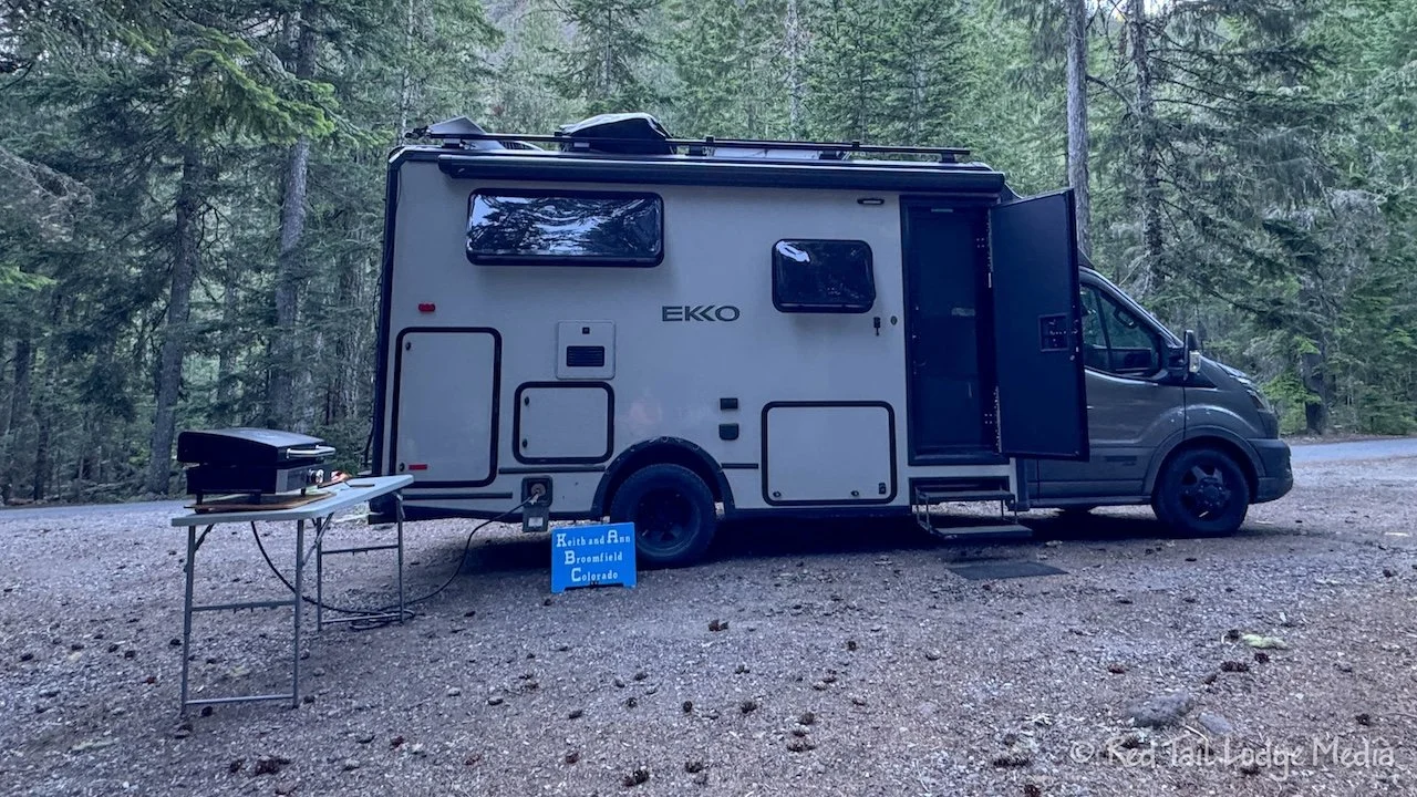
Mount Rainier National Park, Washington - July 5th to 9th, 2024
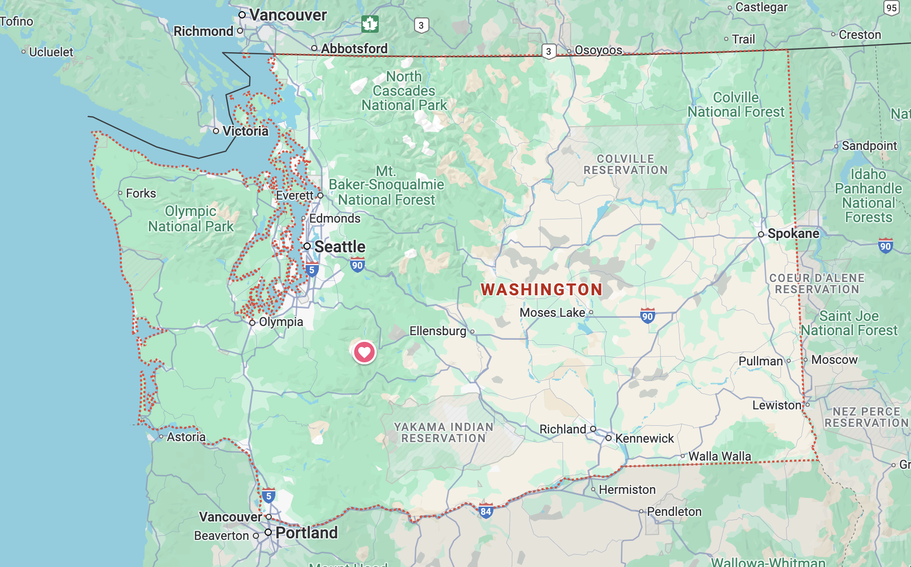
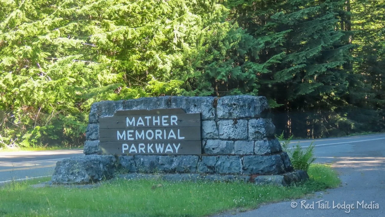
Continuing our tour of the volcanoes along the west coast, we spent five nights in Mount Rainier National Park. Mount Rainier is another active volcano along the Ring of Fire. The Ring of Fire is a string of volcanoes around the edges of the Pacific Ocean, where about 75 percent of the active volcanoes on earth are located. We had already visited Lassen Peak in California (Lassen Volcanic National Park, California - June 6th to 10th, 2024), Mount Hood in Oregon (Mount Hood, Oregon - June 24th, 26th, and 28th, 2024), and Mount Saint Helens in Washington (Mount Saint Helens, Washington - July 2nd, 2024), all of which are part of the Ring of Fire.
Friday was a travel day from Lewis and Clark State Park to Mount Rainier National Park. It was not a long distance to drive, but it seemed like a long driving day due to the winding roads we drove on and all of the stops we made.
First we took care of our chores. Lewis and Clark State Park did not have a dump station. We were hoping to dump at the Cougar Rock Campground inside Mount Rainier, but we were researching it the day before and discovered that Cougar Rock’s dump station closed a couple of years ago. We saw there was an RV park along our route that had a dump station, but when we tried calling them, all we got was an answering machine. After talking with the camp host at the state park, we decided to try dumping at one of the RV sites inside the state park. There was also a dump station in the city campground in the small town of Toledo, which was in the wrong direction, but not far away. The information on their website said they charged $5.
So Friday morning, we drove across the street to the RV sites and asked the camp host there if we could dump. He called someone with more authority than him and they reluctantly allowed us to dump. They also informed us that there are dump stations at the rest areas along I-5, but those would have been out of the way for us.
The next order of business was grocery shopping. There were no grocery chain stores along our route, just little local, independent ones. We don’t mind going to small grocery stores, but it is hard to tell how big or how much selection of items one has by its name on Google Maps.
We first stopped at Salkum Super Market. It was a little smaller of a store than we were hoping for. If we were better at changing our menu on the fly, it probably would have been fine. But Ann already had our meals planned. She was able to pick up potatoes, bacon, onions, and bread. She substituted roast beef for pastrami and 9 grain bread for rye bread for Reubens and substituted kielbasa for brats. But she couldn’t find bell peppers, granola cereal, berries, sauerkraut, corn on the cob, or yogurt. Also, Keith didn’t care for their selection of instant coffee. We decided we could live without those items for a while.
However, as we passed through the town of Morton, Ann spotted a larger market. So Keith turned around and we went into the Morton Country Market. Now that was much better! So we were able to get our missing items, including Keith’s coffee.
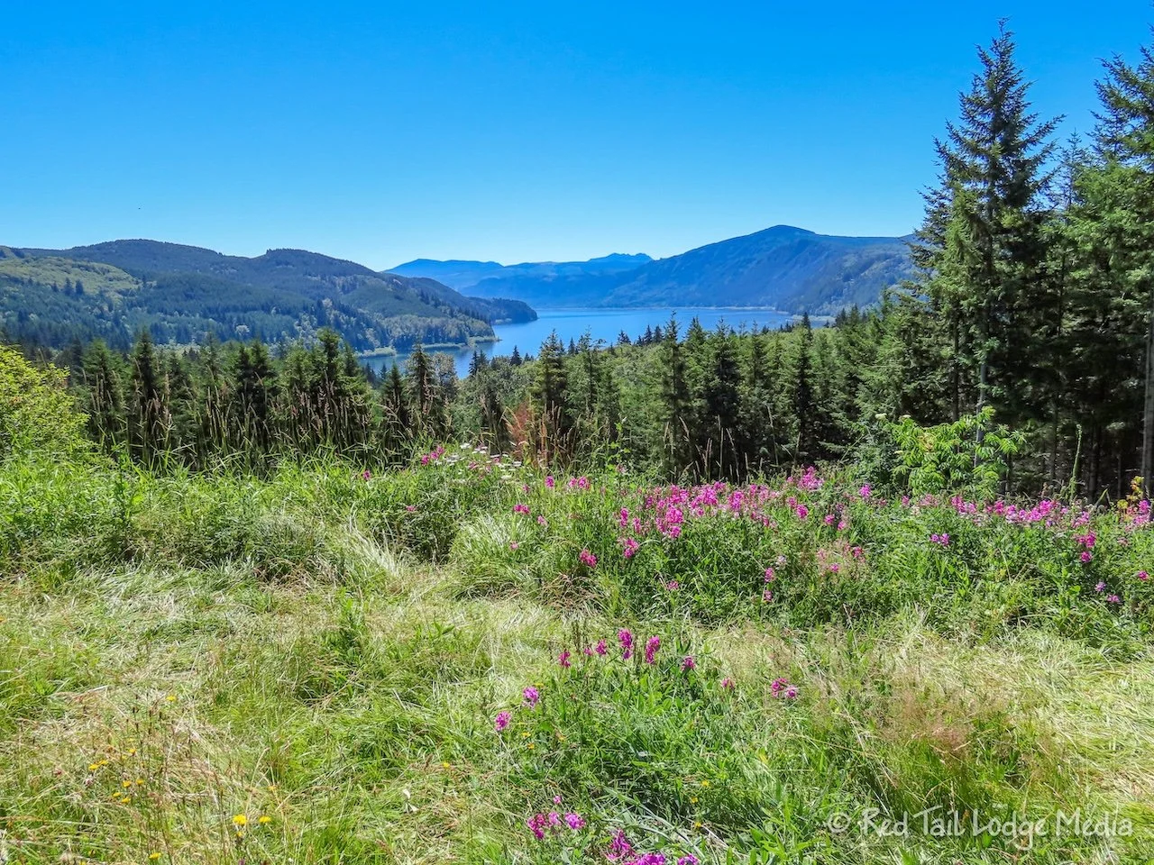
Mount Rainier requires timed entry permits between 7 am and 3 pm to enter the Paradise Corridor or the Sunrise corridor. We did not have a timed entry permit for Friday, but our Cougar Rock Campground reservation allowed us to enter the Paradise Corridor after 1 pm on our day of arrival. We had a little bit of time to kill before entering the park, so we stopped at the Bevin Lake Rest Area for a picnic lunch. We were hoping for a view of some kind, but it was just a basic rest area with a couple of picnic tables. It did have decent restrooms, which was the most important item.
We chose to enter the park through the southeast entrance instead of the southwest. Our road atlas indicated that highway 12 was the scenic way to the park, but Google Maps kept trying to direct us to the southwest entrance, since it was the faster route. Our guess was that most people would be entering from the west, so we were hoping to avoid long lines at the entrance station. We did not have to wait in any lines to get in, but we have no idea what the southwest entrance station lines were like.
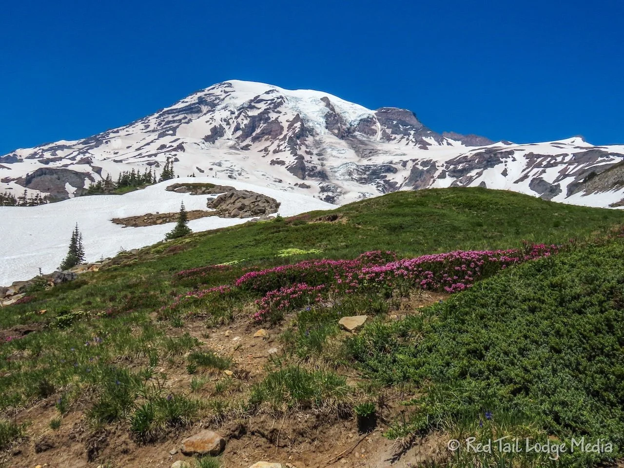
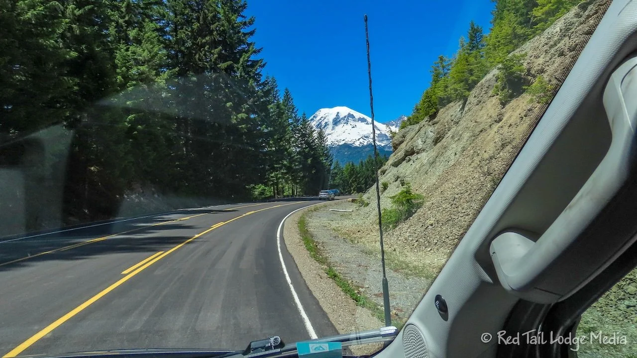
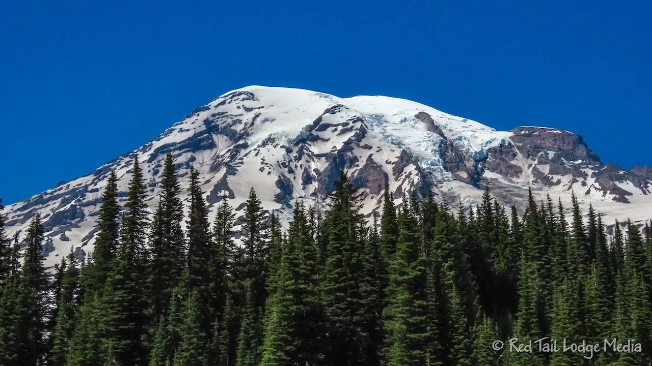
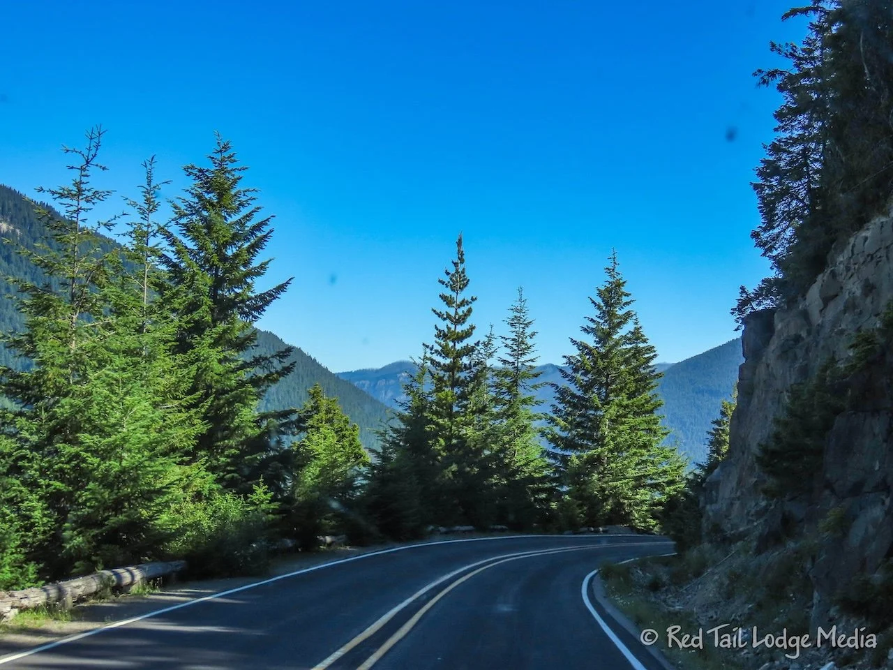
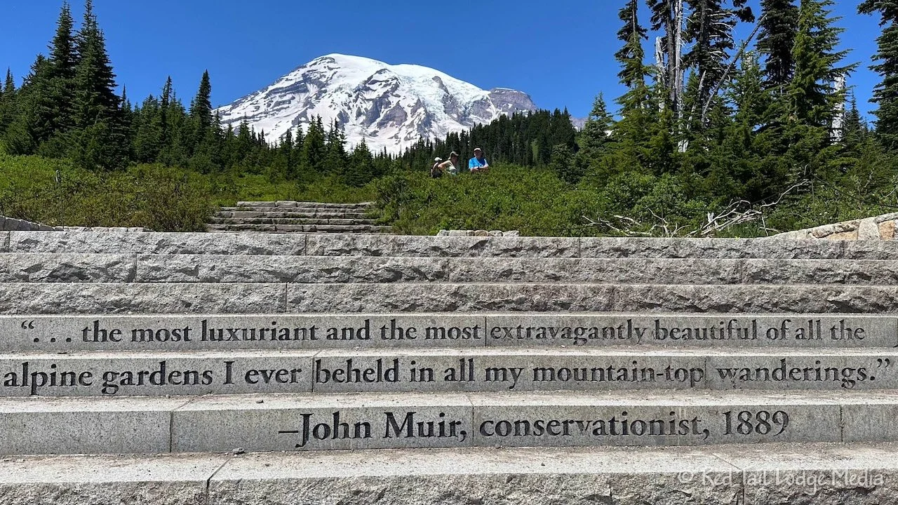
As we started driving up the many switchbacks through the forest after the entrance station, Ann started thinking to herself that we might not have many great views of anything with all of the trees. Then we rounded a corner and bam! There was the peak of Mount Rainier, straight ahead, right in our faces.
The rest of the drive to the campground was gorgeous from that point on. We stopped at several overlooks along the way, such as Box Canyon and Reflection Lakes.
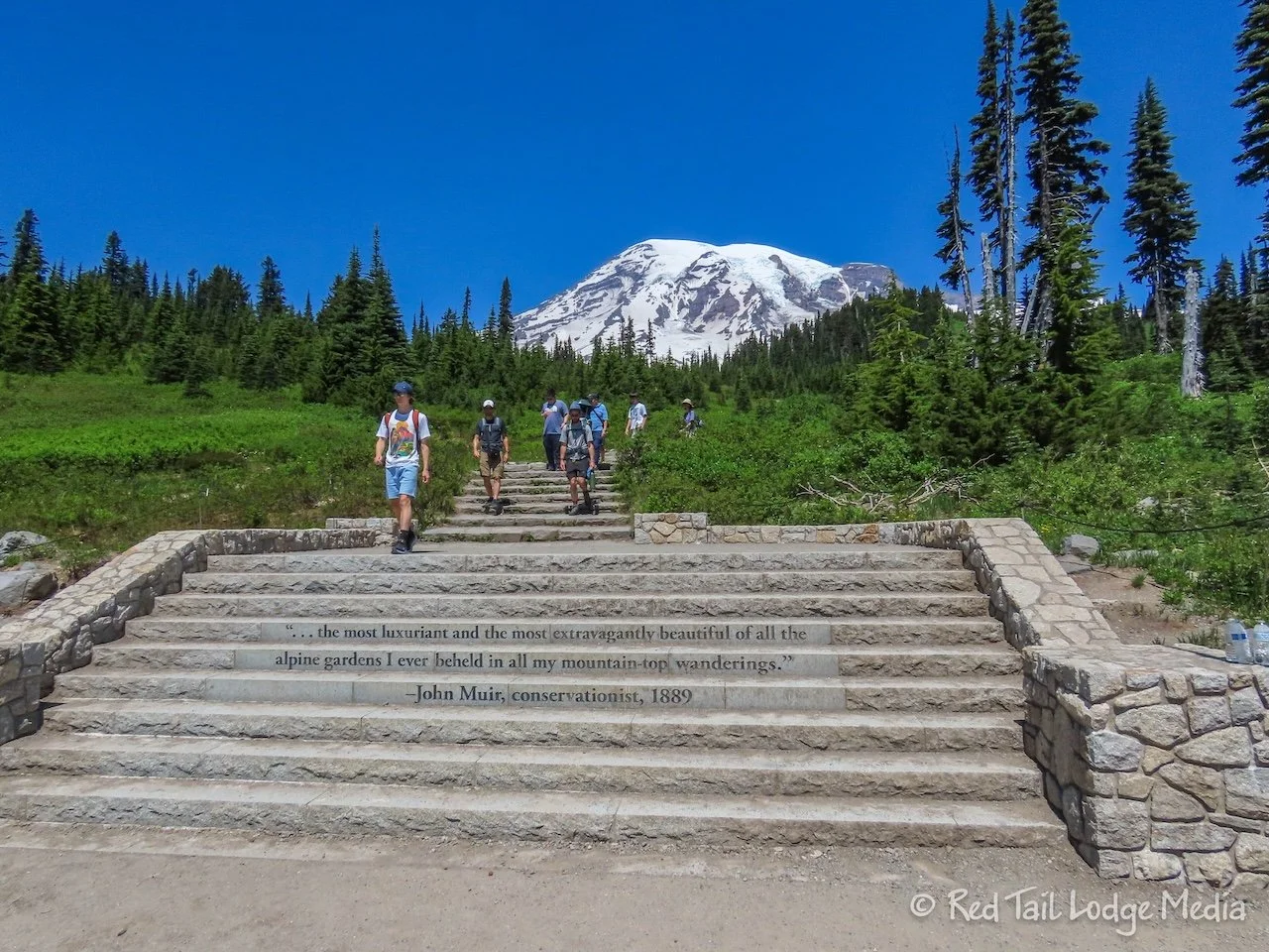
Before heading to the campground, we drove the little spur up to Paradise Inn. Not knowing what the parking would be like right next to the inn, we parked in a parking lot a short distance before we got to the inn. There was an other Winnebago EKKO in the lot with us. Ann left them one of our Backroad Buddies stickers on their windshield, under their wiper. We hope they didn’t mind.
It was a short walk from the parking lot to the Henry M. Jackson Memorial Visitor Center. We chatted with a ranger at the information desk to get the current trail and road conditions along with hiking recommendations.
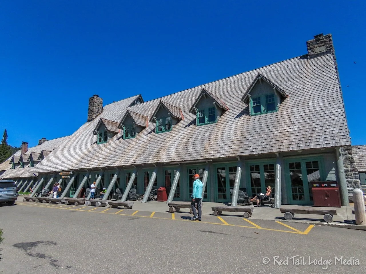
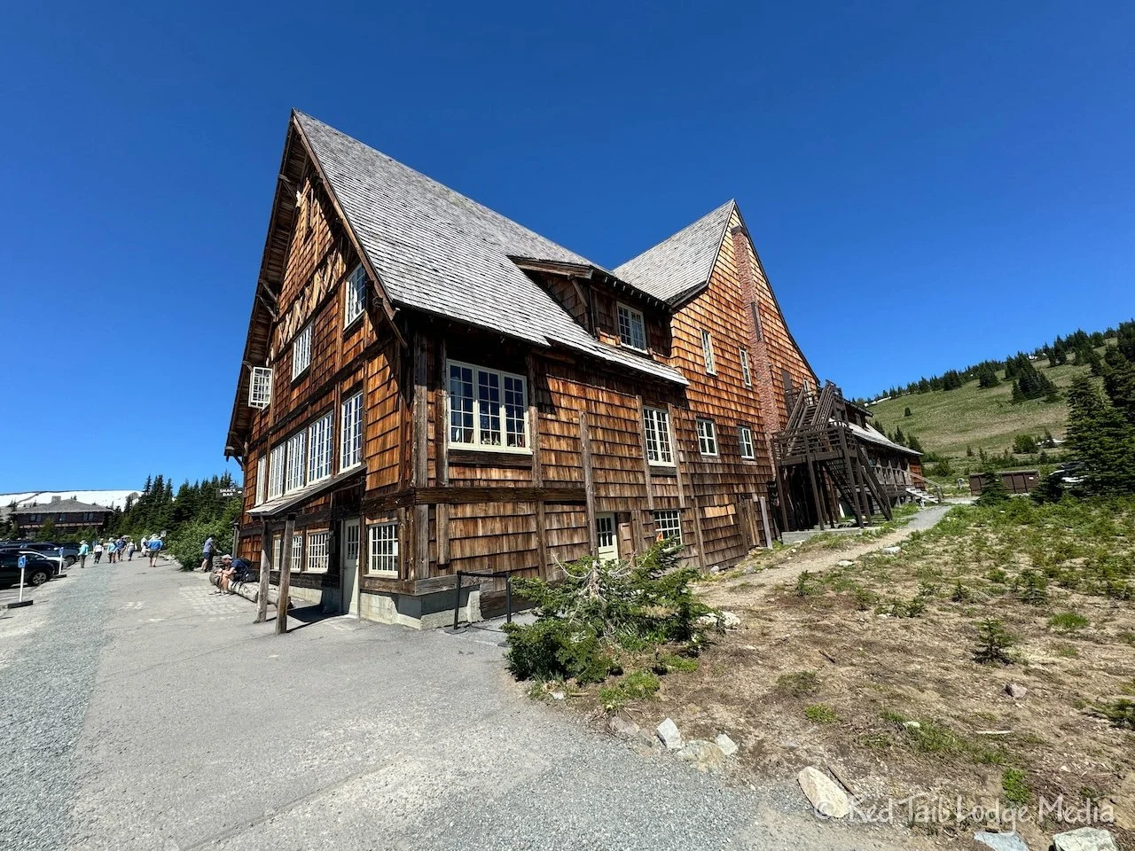
Then we strolled over to the historic Paradise Inn to see if we could eat in their restaurant. The sign outside the restaurant declared that they don’t take reservations and that it was first come/first serve only. The restaurant opened at 5 pm for dinner and it was about 3:30 pm at the time.
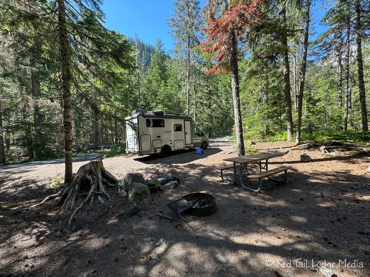
We decided to continue on to the campground, get checked in, check out our camp site, then return to Paradise Inn for dinner. Everything went smoothly. We returned to the restaurant by 4:45 pm and were the first ones in line.
For our entrees, Ann had the lemon chicken while Keith ordered the steelhead. The food was tasty, but Keith felt like his portion of food was not very filling. So we tacked on dessert. Keith’s was a berry tart with a scoop of ice cream, while Ann’s was a skillet brownie a la mode.
Dessert was also delicious. Ann’s only complaint was that the ice cream to brownie ratio was way too small. The brownie was about five inches in diameter, but the scoop of ice cream was the size of a golf ball. More ice cream was needed to balance the sweetness of the brownie. When she inquired about getting another scoop of ice cream, she was told it would cost $6. That seemed a lot to pay for such a small scoop that she declined.
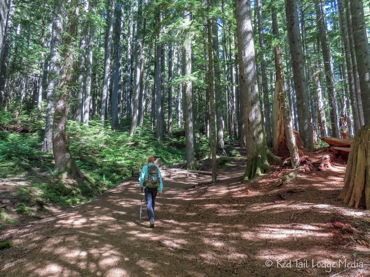
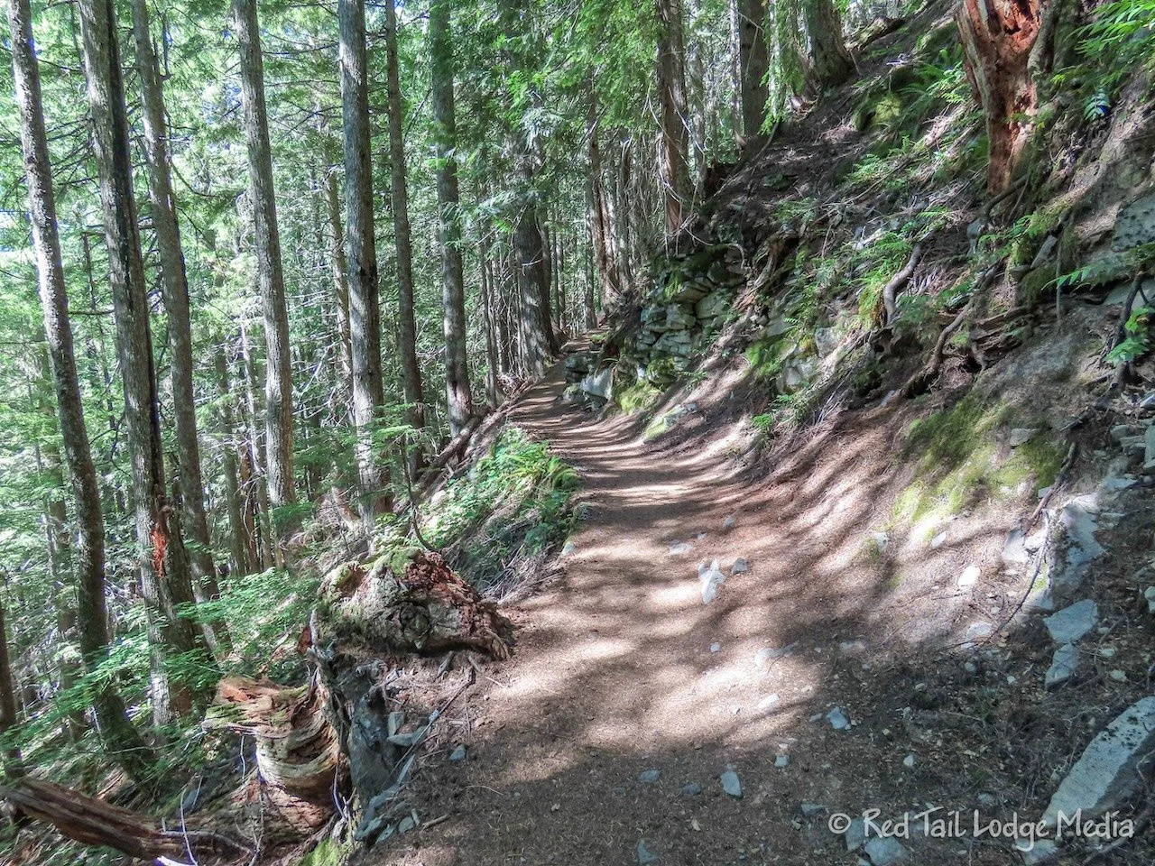
Saturday we went for a hike right from the campground. The Wonderland Trail can be accessed from a trailhead just on the other side of the park road from the campground. The Wonderland Trail is a long distance trail that encircles Mount Rainier, 92 miles long. The length of the trail is roughly in the same range as the Tour du Mont Blanc (TMB) in the Alps, which is 103 miles long. However, unlike the TMB, there are no mountain huts along the route, so you have to backpack and bring your own shelter.
Of course, we were not hiking the whole trail, we were just hiking to Narada Falls. The falls can be accessed from a parking lot along the park road, but we purposely did not stop there on our drive to the campground because we knew we would be hiking there the next day. We didn’t want to preview the climax of our hike. That would be a huge spoiler!
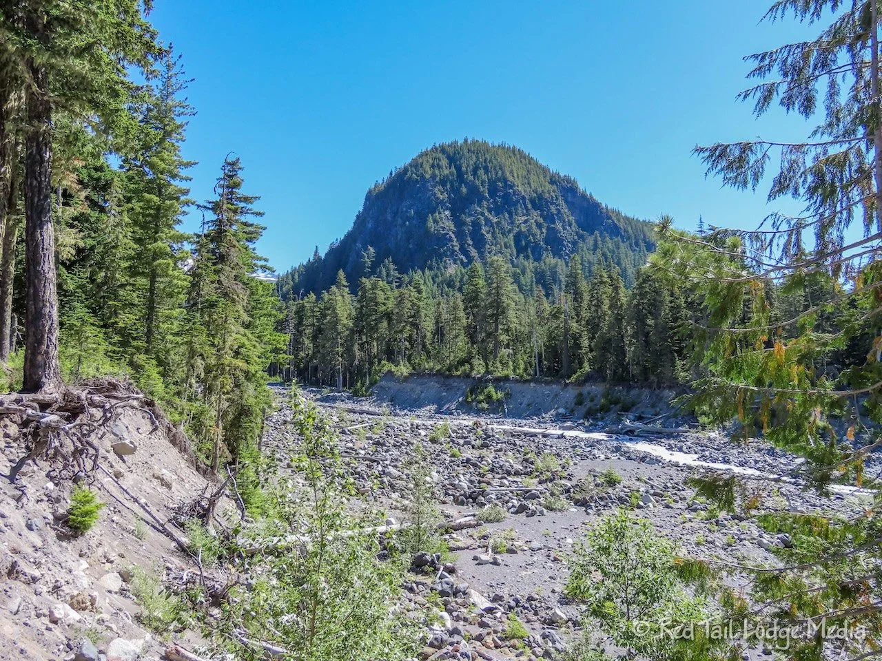
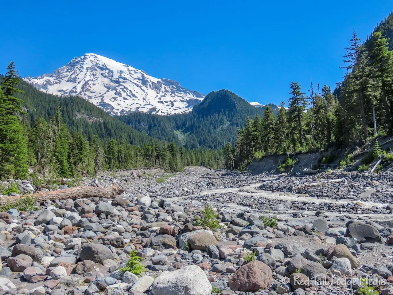
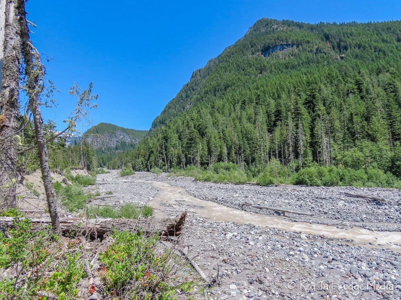
At the start of our hike, the trail crosses over Nisqually River. It is a glacier river, a ribbon that meanders through a wide river basin of rocks. It reminded us of the glacier streams we saw in Alaska (Denali National Park: Teklanika River, Alaska - August 4th to 8th, 2022). Only this time, there was a bridge to get across the river. The bridge was a large log, flattened on the top side, with a hand rail on one side. The bridge was very stable, but looking down at the water gushing underneath our feet threw off our balance a little bit and was a little unnerving. We were thankful for the hand rail.
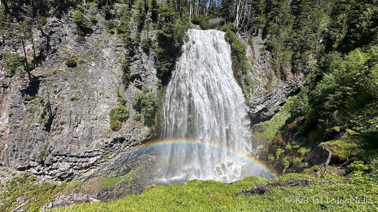
Then the trail leaves the Nisqually River and follows the Paradise River. Although you can’t see the river most of the time, you could hear it. On the way to Narada Falls, we passed by Carter Falls and Madcap Falls. Both of the falls were beautiful, but Narada Falls is even more spectacular. The mist at the bottom of Narada Falls creates a rainbow, when seen from the lower viewpoint.
We returned the way we came. Our campsite was in Loop E, the furthest from the campground entrance. As we were walking back to our site, we passed by a short cut trail which led to the Wonderland Trail, just west of the trailhead. If we would have seen that on our way out of the campground as we started our hike, the trail would have cut off some mileage. However, it was still good that we noticed it because it definitely will save some mileage for our planned hike the next day, as we will be heading west on the Wonderland Trail.
In total, we hiked 7 miles with an elevation gain of 1558 feet in four hours and 11 minutes. It was hike number 33 of our 52 Hike Challenge for 2024 and hike number 41 of our National Park Series.
In the evening, we went to the ranger program at the amphitheater in the campground. The ranger walked through the campground about an hour or so ahead of the program start time, letting all the campers know there was a program. About thirty people attended, which we thought was a pretty good turnout.
The program was about changes at Mt. Rainier. As with most ranger programs that we have attended lately, they try to get the audience to participate. It was an interesting program and we learned a few things. The ranger explained that, although Mount Rainier is an active volcano, there should be warning signs of an eruption several weeks in advance. They monitor the earthquakes in the area and measure the GPS location of several points on the mountain, looking for any swelling. If there were any signs of an eruption, they would shut down the park.
However, what every park visitor should be aware of are lahars. They can happen without any warning, at any time. A lahar is a mud flow from a volcano. There are several causes of a lahar, but the cause most likely at the moment is water building up behind an ice dam near a glacier which then breaks free. If you feel or hear a rumble like a freight train, it is probably a lahar heading your way. The tall wall of water, mud, trees, and boulders the size of cars can be rushing towards you at 40 mph. They tend to follow the river valleys down the mountain. So if you are in a river valley when you hear one, immediately start climbing out of the valley. The lahar will more than likely fill those empty looking river beds, but may also flow high up over the banks. Good to know.
Sunday we went for another hike, this time in the opposite direction on the Wonderland Trail. After reaching the Longmire area, we went on the Rampart Ridge loop. The loop is 4.8 miles long, but adding the couple of miles to and from Cougar Rock Campground turned it into a nine mile hike.
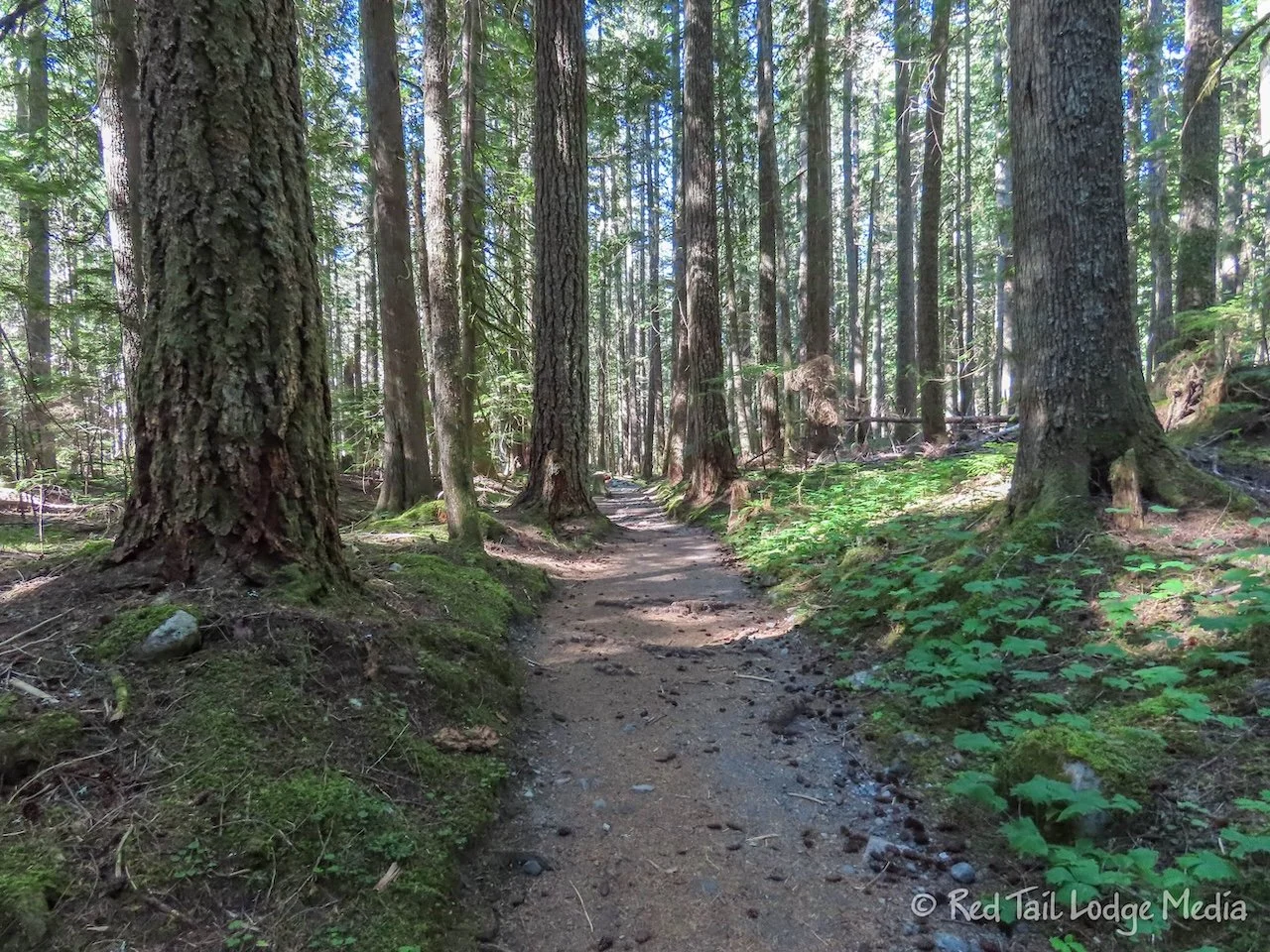
The Wonderland Trail between Cougar Rock and Longmire, follows alongside the Nisqually River. There were a couple of good views of the river along the trail, but, even though you couldn’t see it very often, you could always hear it. There is something calming about the sound of water, even rushing water like the Nisqually.
At Longmire, we used the restrooms and checked out the General Store. The store was pretty small, but it had ice cream novelties, soda, and beer. So we made plans to stop back after the loop. Also at Longmire is a museum and the National Park Inn which contains lodging and a restaurant. The inn is not as large nor as impressive as Paradise Inn. However, the original National Park Inn burned down in the 1920’s and what remains is just the annex.
We chose to do the loop in the clockwise direction. Several reviews of the trail in AllTrails recommended going in the counter-clockwise direction, so the steeper section is on the way down. Our knees prefer going up steep better than going down, so that is the way we went.
The loop started with a mile or two of switchbacks going up through the woods. It didn’t seem as steep as we imagined it to be and we kept a pretty good, steady pace. Our only stops were every 20 minutes for water and an occasional picture. There weren’t really any views to speak of until we reached the little spur to the viewpoint. The view was back down towards Longmire and the river, with only hints of the Mount Rainier mountain peak.
Then the trail starts to descend. It wasn’t long after the viewpoint that the view opened up in the opposite direction, with Mount Rainier straight in front of us. However, the view didn’t last long and we were soon back in the woods.
After another trail junction, we turned right and followed a little stream down to the park road. Again, the sound of water was very soothing. This time it was a nice trickle of water instead of a gushing river.
During some of the steeper step-downs, Ann’s right knee started bothering her again. It started happening on the long decent during the previous day’s hike. It’s her left knee that has been injured several times and is usually the one that bothers her now and then. Her right knee has never been an issue before. And this pain was different. It came on suddenly and only was painful when bending it to step down with the other foot. It was an intense ache that felt like her knee was about to lock up. At first she thought it was just stiff from sitting for a little while at Narada Falls and it did seem to get better for a while, but then the pain came back near the end of our hike. After yesterday’s hike was over, the pain disappeared. She was hoping that the knee had healed overnight, but it was back again during the descent along the Rampart Ridge Trail. Before we completed the loop, the pain disappeared as suddenly as it appeared. Ann is a little concerned that her knee will get worse, especially since she doesn’t really know the cause. She doesn’t remember injuring it at all.
After crossing the road, we soon joined the trail we started on, closing the loop. Turning left would take us back to the campground. However, we turned right to walk the tenth of a mile back to Longmire for food.
As we started our hike early, about 9 am, it was only about noon. We didn’t see any nice places along the loop to sit down and eat our lunch, so we were hungry. Instead of just getting treats from the General Store, we opted to sit down in the restaurant and have lunch. Ann ate the chicken avocado club with truffle fries while Keith had the fish and chips. The food was decent and filling, but we went to the General Store afterwards anyway.
For our dessert, we each had a can of Dr. Pepper and an ice cream sandwich. Keith also picked up two cans of beer to take back to camp. He was getting low on beer, which is the real reason why we had to stop back at Longmire.
By the time we returned to our campsite, we had gone 9.1 miles with an elevation gain of 1834 feet in five and a half hours, which includes spending about an hour at Longmire. It was hike number 34 of our 52 Hike Challenge.
Monday, we had a timed entry permit for the White River Entrance into the Sunrise Corridor for 11 am. The permit allows you to enter within a two hour window, starting at the time reserved. We wanted to do a hike starting at the Sunrise Visitor Center. We were a little concerned that the parking lot would fill up, so we wanted to enter the park as close to 11 am as possible to increase our chances of getting a spot. Plus, it would give us more time to hike.
Google Maps said it would take an hour and fifteen minutes to reach the entrance station from our campground. So we left around 9 am, just to make sure we didn’t run into any delays. We reached the entrance station before 10:30 am, so we pulled into a little pull-out just before the turn onto the Sunrise Park Road and waited half an hour. We had a weak cell signal there, so we used the time to research some info on the internet.
We pulled up to the entrance station right at 11 am. There were only two cars in front of us in line. From the entrance station, it is another half an hour of driving to reach the end of the road where the visitor center is. When we arrived, there were a lot of cars, camper vans, and RV’s in the large parking lot, but there were still plenty of empty spaces to park. It probably helped that it was a weekday. It may have been a different story on the weekend.
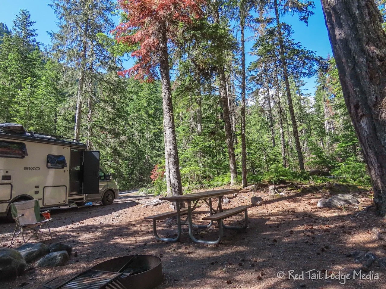
Since it was approaching noon, we decided to eat lunch in Red Tail (our Winnebago EKKO) before hitting the trail. It was 12:30 pm by the time we started our hike.
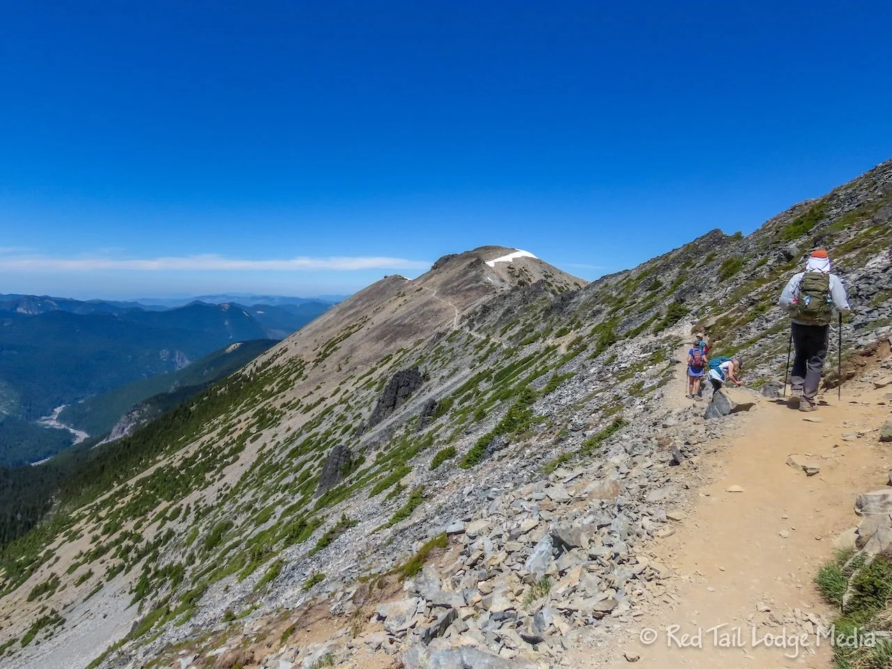
The route we chose was recommended by the ranger we talked to at the Paradise Visitor Center on Friday. We hiked up to the Mount Fremont Lookout, taking the Sourdough Ridge Trail on the way up to Frozen Lake, then taking the Wonderland Trail back from Frozen Lake, passing by Shadow Lake.
The trail on the way up was fully exposed in the sun, with gorgeous panoramic views in all directions. Even though the air temperature was a little cooler than down near Cougar Rock, it started out feeling hotter because of the sun. However, once we got on top of the ridge, there was a nice cool breeze which kept us pretty comfortable.
Frozen Lake is about a mile from the trailhead and seemed to be a popular destination, especially for families with young children. The lake was not completely frozen. There was a snow field that covered one end of the lake, with what looked like an ice berg in the middle. The sunlight lit up the edges of the snow and ice with a beautiful blue color.
There were a couple of park volunteers hanging out near the lake. We chatted with them for a few minutes. They told us that a bear had just strolled by the lake about ten minutes before we got there. Bummer!
However, later, while we were on the Mount Fremont Lookout Trail, we spotted two mountain goats. We only got a quick glimpse of the first one as it crossed over the ridge to the other side, out of view. The second one was down in the meadow, in the valley below us.
We also got a great view of a marmot, right alongside of the Sourdough Ridge Trail, before we reached Frozen Lake. It had different coloring than the marmots we see in Colorado. In Colorado, we have the yellow-bellied marmot. From what we can tell, we believe the one along the Sourdough Ridge Trail was a hoary marmot.
The Mount Fremont Lookout Trail followed along the Mount Fremont mountainside, through scree fields. The trail was flat, but still covered with loose rocks. It made an interesting sound as we walked across the stones. Keith thought it sounded like out-of-tune wind chimes. Ann thought the sound resembled stacks of ceramic dinner plates clinking against one another.
At the end of the trail was a lookout tower, with 360 degree views. The tower is a popular spot for people to watch the sunrise. However, that means you would be hiking up in the dark. Getting up early enough to drive up to the trailhead and hike up, just to see the sunrise, didn’t appeal to us. Even though the sunrise gives the surrounding views stunning lighting, we would much rather enjoy the views along the trail in the daylight.
Even during the day, the Lookout Trail is pretty popular. There were fewer people on the Lookout Trail than the Sourdough Ridge Trail, but still way more than the hikes we did the previous two days. We’re sure the trails are even more crowded on weekends. If you want peace and solitude, this is not the hike for you. However, if you want incredible views and wildlife, we highly recommend this hike.
There were a few small snow patches along the Sourdough Ridge Trail, but they were easily traversed. Hiking boots were not even needed. However, the Wonderland Trail on the way back from Frozen Lake crossed a couple of large snow fields. We had our Yaktrax (paid link) with us, but decided not to bother putting them on. The snow fields were pretty slushy. However, the trail was not steep and there were no cliffs to fall off of, so it didn’t feel sketchy. However, we were digging our heels in to keep from sliding as the trail descending a little more near the end of the first snow field. When we reached the second snow field, we couldn’t see the other side as the trail dipped down. Since we couldn’t tell how steep it was, we took a small trail that went around the snow field. Looking back at the snow field, it looked like it would have been fine to cross.
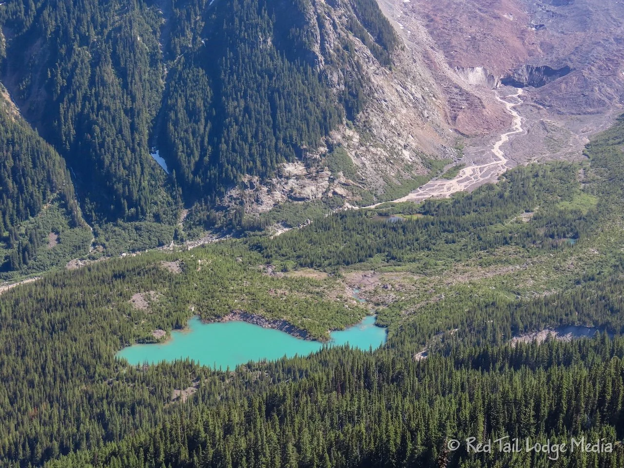
After passing by the back country Sunrise camp, we looked for the Burroughs Mountain Trail. The park volunteers back at Frozen Lake recommended taking a little spur of off our route to the Glacier Overlook. It was definitely worth the extra mileage. Thank you for the recommendation! It probably only added about a quarter of a mile or so to our route. From the overlook you can see the toe of the Emmons Glacier with a beautiful little blue lake just below the glacier. The tow of the glacier doesn’t look like it is part of the glacier, as it is covered with dirt and rocks that accumulate at the tow. You can see the river of water that flows out of the base of what looks like a rock cliff, which is really the toe of the glacier.
By the time we returned to the parking lot, we had gone 7.6 miles with an elevation gain of 1427 feet in four hours and 50 minutes. It was hike number 35 of our 52 Hike Challenge for 2024.
We were hoping to get some soda and ice cream treats from the little cafe and gift shop, but it was closed by the time we finished our hike. It was almost 5:30 pm by the time we finished, so we could imagine the shop closed at 4 or 5 pm. We didn’t see any hours posted.
When we returned to Red Tail, there was another Winnebago EKKO parked next to us. We couldn’t tell if anyone was inside or not. After Ann ate her leftovers for dinner, she walked over to the other EKKO and knocked on the door. They answered. It was a couple, Dan and Debbie, from Florida. And yes, it was the same EKKO we saw in the Paradise parking lot on Friday. We chatted with them for quite a while. It is nice to swap stories about our rigs. We hope they have fun on the rest of their trip and safe travels!
Then it was a long drive back to Cougar Rock, taking us just under two hours. That’s more driving than we do on some of our travel days. It was almost dark by the time we pulled into our camp site. It was a long, exhausting day, but so worth it.
Tuesday we hung out at the Paradise area. We parked in the same lot and hooked up Starlink since there was a wide open view of the sky from the parking lot. We spent the morning enjoying our internet connection.
Right before lunch, Ann walked the quarter of a mile over to the visitor center to use the restroom and buy a soda from the food service. However, when she went inside to buy her drink, the pulled pork and potato salad on the menu sounded much more appealing than the salad she had waiting for her back at Red Tail. We had spent the last three days doing long hikes and Ann was hungry. So she called Keith and had him come over to join her for lunch. We sat at the one picnic table outside that was in the shade, with a view of the mountain peak, enjoying our meal.
After lunch, Ann went on a hike by herself. Keith’s foot was bothering him a little bit and he just didn’t feel like hiking again. Ann wanted to see if she could hike up to Panoramic Point. It is only 3.8 miles round trip to the point, but with an elevation gain of over 1300 feet. We heard there was still parts of the trail that were snow-covered. You can turn the hike into a loop by continuing on Skyline Trail, turning the hike into 5.7 miles. However, the park service was not currently recommending the back side of the loop due to bad trail conditions.
Ann took her Garmin InReach (paid link) so she could keep Keith apprised of her progress. Keith, knowing that Ann likes to push herself to her limits, made her promise she wouldn’t continue if the trail conditions started getting sketchy. She had her Yaktrax with her, just in case she needed them.
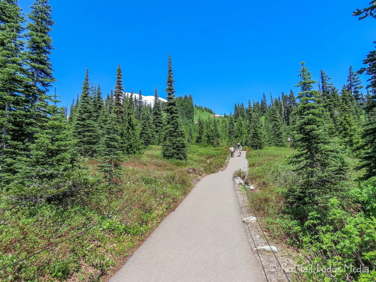
The trail was paved and bone dry for about the first half mile or so, but it was steep. Wildflowers covered the bare patches of the alpine meadows.
When the trail turned to dirt, it flattened out a little but that was also when the patches of snow appeared across the trail. It was a hot day, in the 80’s, with full sun, so the snow was very slushy. However, since it wasn’t steep, it was pretty easy going. The worse part was when Ann stepped in a really slushy part and her boot became fully submerged in water. Since it was hot outside, this was not an issue and felt kind of good.
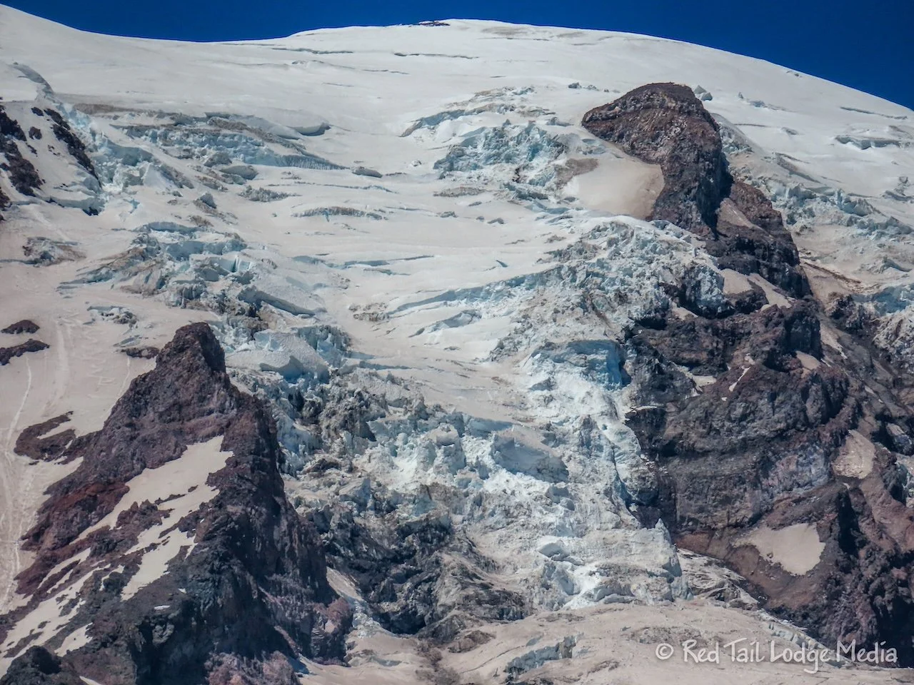
The details of the glaciers became more visible as she got closer to them. There was a view of the toe of the Nisqually glacier, but not a great view. Ann was hoping for a better one. At one point, she faintly heard some ice cracking. She asked others around her and they confirmed they heard it too. However, we were scanning the mountain side and didn’t see any movement. Ann thinks there might have been some ice calving on one of the glaciers, but probably on the other side of a ridge, out of view from where she was standing.
On her way up, a group of about a dozen mountain climbers were coming down the trail. Ann asked them how far up the mountain they climbed. Their response was “all the way to the top”. How cool! It looked like it was a guided tour group. A little later, she spotted a line of dark dots across one of the snowy glaciers. Zooming in with her camera, she could see it was a group of mountaineers.
When she was less than half a mile from Panorama Point, the trail turned to head up the side of a ridge. It was much narrower and steeper. She probably could have made it up to the trail with no problems, but coming down might have been a little tricky in the slushy snow. She kept her promise with Keith and turned around to head back down.
By the time Ann reached the bottom, she had gone 3.5 miles with an elevation gain of 1142 feet, but that included the quarter of a mile from the parking lot. Since Keith didn’t go with her and the hike was rather short, we decided not to count it towards our 52 Hike Challenge.
Keith came over to the visitor center to join Ann for her after hike soda and ice cream. We asked to a woman sitting at a picnic table in the shade if we could join her. The woman, Lou Ann, was a local who had cut her hike short and was waiting for the rest of her group to return from their hike. We had a lovely conversation with her for over an hour. It is so nice to meet new people and swap stories.
While we were sitting there chatting, we saw a group of people starting up the trail with skies strapped to their backs. We thought there were some tracks down one of the snowy glaciers that looked like ski tracks. It seemed rather late in the day to be starting up. They must have not been planning to go up very high because they didn’t look equipped to be crossing glaciers.
When we got back to camp, Keith tried setting up Starlink at our site. He didn’t try before because he thought there were too many trees in the way. However, several of our camping neighbors had their Starlink dishes out. It worked! The signal was not as good as when we were at Paradise, but it was better than nothing. Instead of 150 Mbps, we were getting only speeds of 14 Mbps, with the signal dropping out for a minute every now and then. That’s a poor speed for Starlink, but that would be a decent speed for cell service.
After three to four full days of hiking we were tired, but we had smiles on our faces. They were four very fulfilling days, filled with forests, mountains, rivers, glaciers, waterfalls, wild flowers, and wildlife. Mount Rainier was another national park that did not disappoint us.
Check out our related video: Mount Rainier National Park, Washington
(Ann)

