Lassen Volcanic National Park, California - June 6th to 10th, 2024
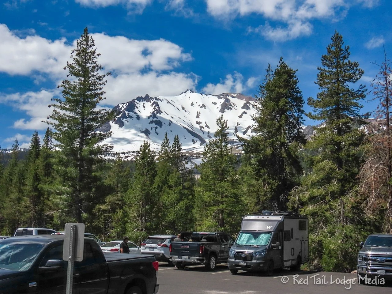
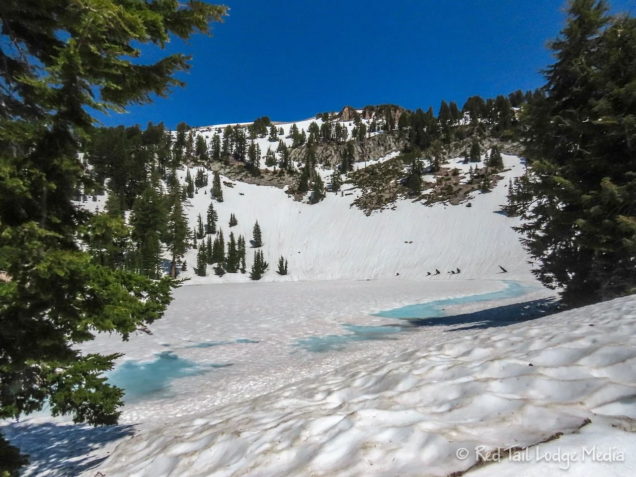
We didn’t visit Lassen Volcanic National Park at the most ideal time of the year. It was a little too early as much of the park was not cleared from snow yet. However, if you always wait for the most ideal time to visit a place, you won’t get to visit many places.
After our stop in Truckee, we continued on highway 89. Most of the drive was through national forests. Just south of the town of Quincy was a rest area, where we stopped to use the facilities and eat lunch. Ann didn’t have much as she was still full from our bakery treats in Truckee.
On the south side of Quincy was a little place called Polka Dot Frosty. It was a little food stand with soft serve ice cream and burgers. Since the temperatures had crossed into the 100’s by this time, ice cream sounded good. We both had a milkshake, one vanilla and one chocolate. We’ll let you guess who had which one. The cool treat tasted good in the heat. Now Ann was really full.
As we were passing through the town of Greenville, Keith spotted a propane fill at a small gas station. So we pulled in to fill our tank. We had to wait a few minutes for the convenience store to empty out, since there was only one employee working at the time. As we were driving through town, we noticed a sign that said “Greenville lives!” along with a few damaged shells of buildings. Most of the buildings in Greenville were destroyed by the Dixie Fire in 2021. It was nice to see that they were rebuilding.
We would have continued on highway 89 the whole way to Manzanita Lake Campground, inside the park, but the highway was closed through Lassen Volcanic National Park. The park was still trying to remove all the snow from the road at the higher elevations. As we were in 100 degree weather, it was hard to believe a road was closed due to snow.
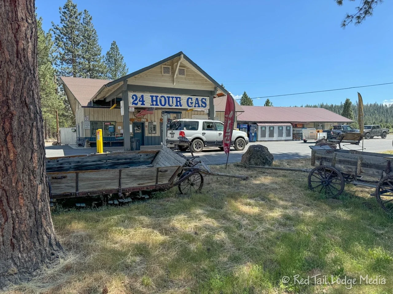
We detoured around the east side of the park. It was not a short detour. We took route 147 around the east side of a large lake up to highway 36. A county road brought us up to highway 44. Heading south on 89 then brought us to the north entrance to the national park. Where highway 44 joins 89, we stopped at the Old Station Fill Up to top off our gas tank. It was cheaper gas than what we bought at a Nevada station that morning.
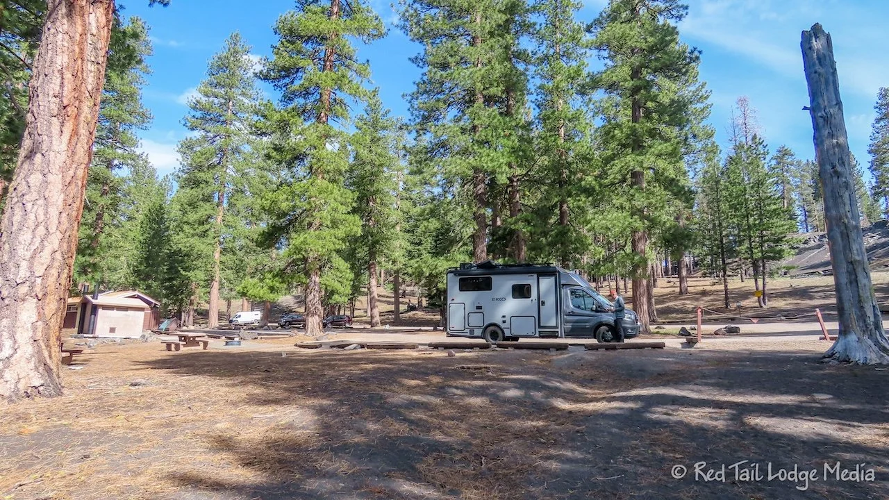
When we arrived at the campground, we stopped at the dump station to dump and fill our tanks. The dump station charged $8 for dumping (half price for a Senior park pass holder). We thought that was unusual to charge for dumping when you are already paying for a camp site. We would discover later in the season that it seemed to be quite normal along the west coast.
After setting up camp, we walked the campground loops to stretch our legs after a day of driving. We stopped off at the camp store, but it was already closed for the day. However, we could see that the showers and laundry room were under construction. No showers or laundry for us while we’re here. Darn! We were counting on doing laundry here. It had been eight days since the last time. It looked like some handwashing of clothes was in our future. It will be good practice for our Europe trip next year.
Friday we went on a hike right from the campground, Crags Lake Trail. The trailhead is up near the Visitor Center, so we cut over to the Manzanita Lake Trail from our camp site and followed it up to the Visitor Center. There was an informational sign posted about the latest road and trail conditions. The road through the park was still closed. Most of the trails were listed as snow covered. Crags Lake Trail was listed as partial snow, so we went into the Visitor Center to ask for more details. The ranger told us that a hiker reported back the day before that there was no snow on the trail and just a patch of snow by the lake. Great!
The trail starts out in the woods, following a creek you can hear, but not get a good view of. Then the trees thin out and low bushes with red branches and bright green leaves makes the landscape beautiful. We believe those bushes are called manzanita. After crossing over a small ridge, you descend down a steep, but short set of switchbacks to the lake. From above, the lake has a wonderful color, with a mountain backdrop, with steep sides covered with scree. The Hiking Project app warns not to go around the lake near the scree, as there often are rock slides. We found a couple of boulders to sit on under the shade of a tree where we ate our lunch.
After returning to the trailhead, we took the road back to our campsite, stopping at the camp store along the way for a treat. The Crags Lake Trail itself is only four miles round trip, but since we started from our camp site, we turned it into a 6 mile hike with an elevation gain of 1135 feet which we completed in three hours and 35 minutes, including our stops. It was hike number 25 of our 52 Hike Challenge for 2024 and hike number 39 of our National Park Series.
In the late afternoon, Ann took a shower, cleaned the bathroom, and hand washed some clothes. We hadn’t cleaned the bathroom since we left home and it needed it.
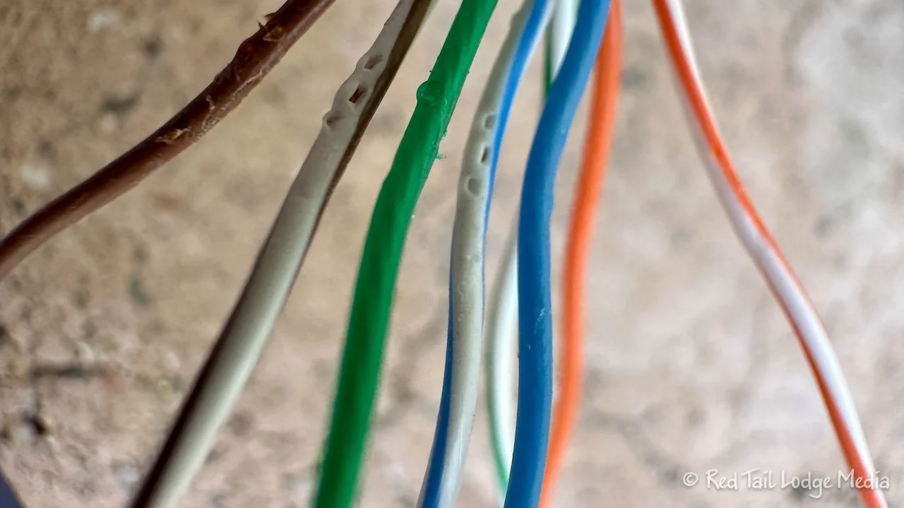
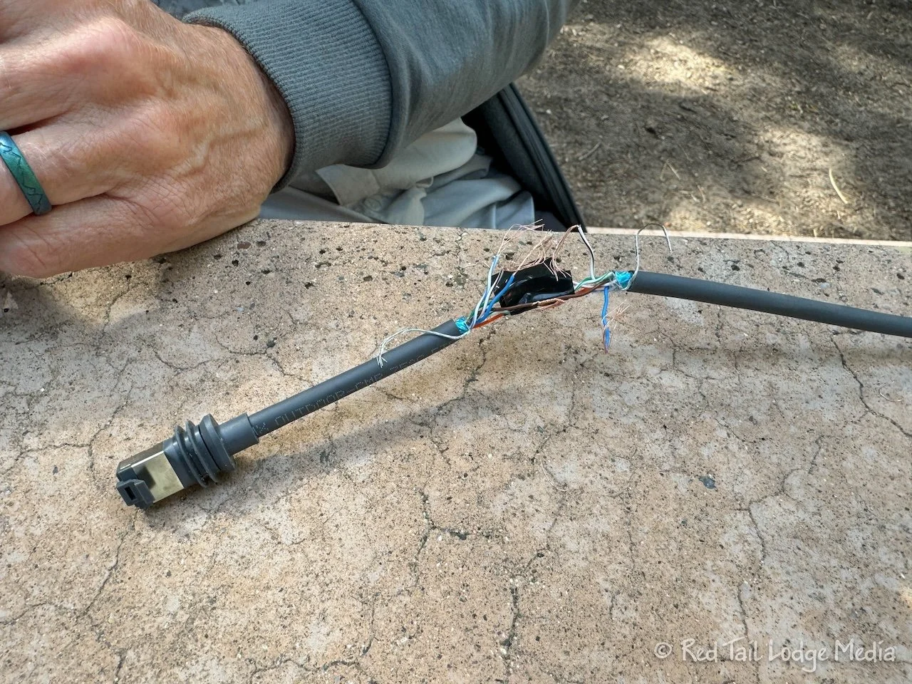
While Ann was busy cleaning, Keith worked on the Starlink installation some more. He spent hours trying to attach a connector to the Starlink cable that he cut. Until we get a connector attached, we cannot use the Starlink. The connectors claimed they were for a range of wire sizes, including the size we had, but Keith could not get a good connection. He didn’t have the special crimping tool, but was following methods he had seen on YouTube earlier, using the tools he had. He could get as many as half of the eight wires connected properly, but not all eight at the same time. He finally gave up, feeling very defeated.
Saturday, we went for a drive. Before we left camp, Keith hardwired the Starlink cable back onto the part he cut off so we can get it working again. He added aluminum foil around the spliced section to match the foil that was in the rest of the cable. We tested the cable with a multi-meter and all the connections looked good.
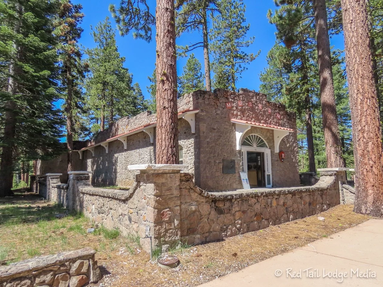
Our first stop was the park museum at the Visitor Center. We went inside to watch the park movie. As with most National Park Service movies, it gave a wonderful overview and history of the park. Then we understood more when we observed the different features of the park.
The park road was only open up to the Devastation Area, about ten miles. There were only a couple of points of interest along the way. At the Devastation Area, there is a picnic area and a short interpretative trail. The Devastation Area is strewn with new and old rocks from the Lassen Volcano, which is three miles away. This is the result of avalanches from the 1914 and 1915 eruptions. We learned that the black rocks were created during those eruptions, but the similar red and gray rocks were part of the volcano plug that was blown off of Lassen Peak and those rocks were created during the previous eruptions 27,000 years earlier.
As we ate our lunch at the Devastation Area, we hooked up the Starlink dish, partly to test the reworked cable and connections and partly to get our internet fix. Ann uploaded a video and Keith downloaded videos to watch later.
When we got back to camp, we went for a walk. There is a trail that circles Manzanita Lake which is less than two miles long. To lengthen our walk, we tacked on the Lily Pond Trail which is another loop about half a mile long. There is also a third trail that encircles Reflection Lake, but we didn’t take that one. The Lily Pond Trail starts out next to Reflection Lake, so we saw some of Reflection Lake.
The trails are easy, flat, and very peaceful, so it was a nice stroll. On the far side of Manzanita Lake, you get nice views of Lassen Peak which reflects on the water. The Lily Pond Trail has a nature pamphlet that you can purchase with numbered signs along the trail that link to what you are reading. We didn’t get the pamphlet, so we can’t comment on how interesting it might be.
In total, our stroll was three miles with an elevation gain of only 180 feet which we completed at a leisurely pace in one hour and 15 minutes.
Sunday we hiked the Cinder Cone Trail. The trailhead is in the Butte Lake area of the park. It was about an hour’s drive from Manzanita Lake. Butte Lake is about 6 miles down a dirt road, Forest Rte 32N21 off of highway 44. It took half an hour to get to the dirt road and another half an hour to go the 6 miles on the forest road. The dirt road was in pretty good condition. The speed limit was 30 mph, but our speed was only between 10 and 20 mph. We didn’t want the contents of our RV to bounce around too much. Keith was having flashbacks to McCarthy Road in Alaska (McCarthy, Alaska - July 25th to 28th, 2022). But the road to Butte Lake was much better and much shorter.
There are two campgrounds along Forest Rte 32N21, Butte Creek Campground, run by the National Forest Service, and Butte Lake Campground, inside Lassen Volcanic National Park. So, if you wanted an early start on a hike or backpacking trip, you could camp in one of those two campgrounds. There are more trails that lead from Butte Lake, but the most popular one is the Cinder Cone Trail.
Since it was a Sunday, we arrived early, well, early for us. We wanted to make sure we could get a parking spot at the trailhead. We arrived before 10 am. There was plenty of parking. There is a day use area, not only for hikers and picnickers, but also for paddlers who want to put a non-motorized boat into Butte Lake.
Before we started hiking, Keith set up the Starlink, hoping to get a signal. He wanted to order some more parts. However, we couldn’t get enough open sky through the trees to make a connection. Bummer!
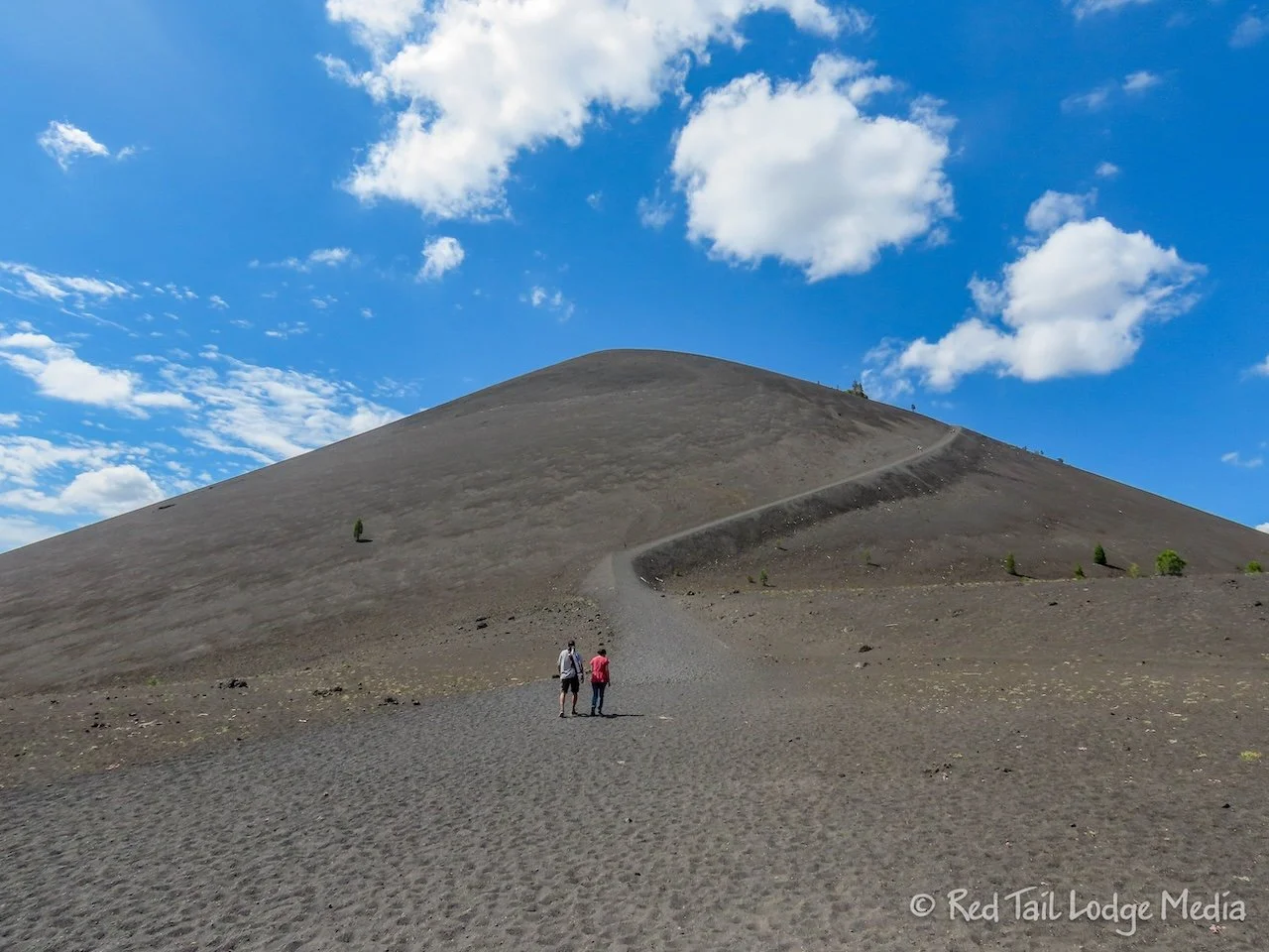
The Cinder Cone Trail starts out in the woods, alongside a lava field. The glimpses of the cinder cone volcano appear through the trees. At the base of the Cinder Cone, the trail splits. Most people head straight up the steep trail to the top of the cone. The AllTrails route follows the right fork around the back side of the cone and comes down the front. We decided to follow the people and go up the front first, doing the loop in the clockwise direction.
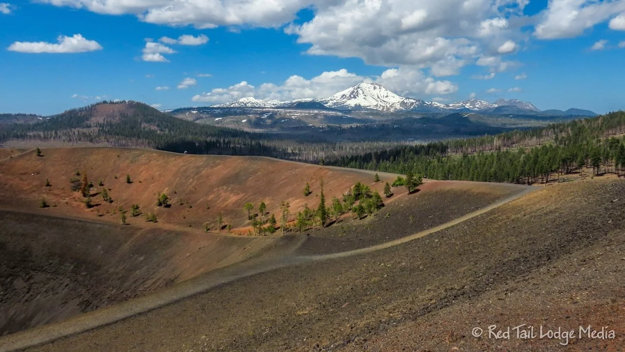
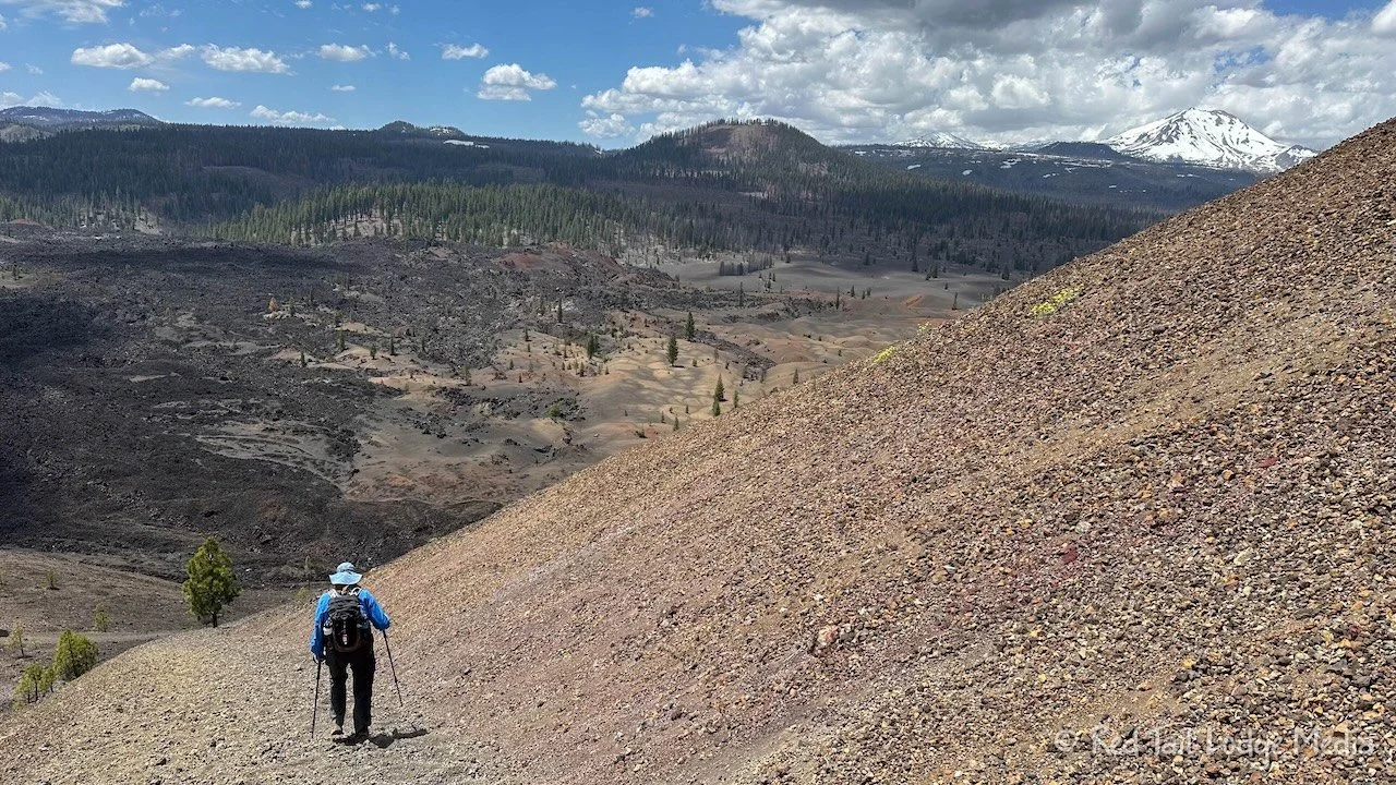
The trail is steep with loose footing. It was like walking up a steep dune, but with chunkier and sharper soil under foot. At the top of the cone is a trail around the ridge, another ring of trail just below the rim, and a trail that descends down to the center of the crater. The views from the top were spectacular. Not only could you see down into the crater, you could also look down over the lava fields and painted dunes. The icing on the cake was the view of Lassen Peak, covered in snow.
Of course we climbed down to the center of the crater. You don’t climb all the way to the top of the cone just to skip the rest of the experience. You could see the bottom of the crater from the rim, but it was a neat experience to go down to the bottom.
Back up on the rim, we sat down on some large rocks for our lunch. The rocks were rather sharp, so we had to be careful not to scoot on them. While we were sitting there, taking in the view, Keith noticed he had a weak cell signal on his phone. So, of course he sat there and placed his Amazon order. Now he was in a much better mood.
Coming down the back side of the cone seemed a little steeper than coming up the front side. However, the rocky soil beneath our feet was deeper on the back side compared to the front. So going down was like a controlled slide. There was enough material beneath our feet that it would bunch up and stop our downward slide, most of the time. Only once did one of Ann’s feet start to get away from her. She lost her balance a little bit and had to put her hand down to the ground to catch herself. Luckily, she didn’t cut her hand on the rocky soil nor did she twist an ankle.
Even though it seemed a little steeper, we were glad we came down the backside, as we found the surrounding terrain more interesting than the front side. The trail went right next to the painted dunes and among some lava beds. The painted dunes looked much different close up than they did from above. We’re glad we saw them first from above so that we could make more sense of what we were looking at close up. If we were to do the trail again, we believe we would do the trail in the same direction.
By the time we returned to Red Tail (our Winnebago EKKO), we covered 5.3 miles with an elevation gain of 1161 feet in three hours and forty minutes. It was hike number 26 of our 52 Hike Challenge for 2024.
On the way back to the campground, we made two stops. First, we stopped to walk the Subway Cave, a lava tube. It is actually outside of Lassen Volcanic National Park, on Lassen National Forest land. The tube is about a quarter of a mile long. Headlamps, lanterns or flashlights are needed. Stairs lead you down into the cave where you can walk to the other end, climbing stairs to get out. A trail leads you back to the parking lot. It was pretty cool to walk through, but we had to watch our step because the floor is not smooth and it would be easy to trip.
The other stop was at the Old Station Fill Up, not for gas this time, but for Cokes and ice cream treats. Of course, Keith had an ice cream sandwich while Ann was happy to see they had mint It’s It, the same San Francisco novelty we had in Sequoia National Park (Sequoia National Park Revisited - May 23rd to 30th, 2024).
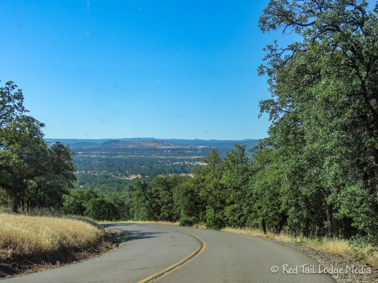
Monday, we drove around to the south end of the park. Highway 89 through the park was still closed after ten miles into the park, so we took a route around to the west. After heading west on highway 44, we took a series of small roads south to highway 36. It was the route that the park newspaper recommended for RV’s and trailers, which was the same route that Google Maps recommended. It was Black Butte road to Wildcat Road to Long Road to Lane Valley Road before reaching 36. The roads were narrow, winding, and steep in sections. The route took about an hour and a half.
At the Kohm Yah-mah-nee Visitor Center, a ranger gave us the current conditions on the roads and trails. From the south, the park road was open eleven miles to the Bumpass Hell trailhead. However, the Bumpass Hell Trail was closed. It is the largest thermal area in the park, but, since it was still covered in snow, it was too dangerous to go on. The area is named after an early local guide who broke through the crust and was severely burned. We guess the park didn’t want anyone to re-enact that event.
Due to the road closure, you couldn’t reach the Lassen Peak Trail, the Cold Boiling Lake Trail, the Kings Creek Falls Trail, nor the Terrace, Shadow, and Cliff Lakes Trail. The Brokeoff Mountain Trail and Ridge Lakes Trail were reachable, but they still had snow, but the ranger thought they would be fine if we wore our Yaktrax (paid link). However, there was one trail that was clear of snow, the Mill Creek Falls Trail which started right from the Visitor Center. It went to the highest falls in the park. That sounded like the best option for us.
First, we drove up the park road as far as we could. There seemed to be more snow on the south side of the park compared with the north side. But there were also more scenic views from the road than the section we drove in the north. On the way back down, we stopped to look at the Sulphur Works. This thermal area is right along the road. There is a small, bubbling, muddy pond, along with steam rising up from the rocks, and a smell of sulphur in the air.
The Mill Creek Falls Trail was a lovely trail. It went through a burn area, which had a beauty in and of itself. The light colored, barren branches contrasted nicely against the black tree trunks which were dotted with light colored mushrooms. The destroyed trees allowed more light to reach the forest floor, where wildflowers thrived in the ample sunlight.
The falls themselves were pretty. We stopped to rest and enjoy the view for a few minutes before heading back to the trailhead. A family was enjoying a cold dip in the creek. By the time we returned to the Visitor Center, we had gone 3.7 miles with an elevation gain of 774 feet in two hours and ten minutes. It was hike number 27 of our 52 Hike Challenge for 2024.
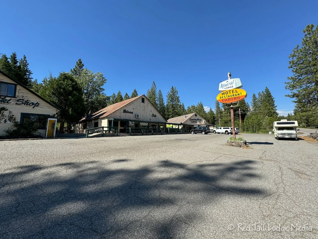
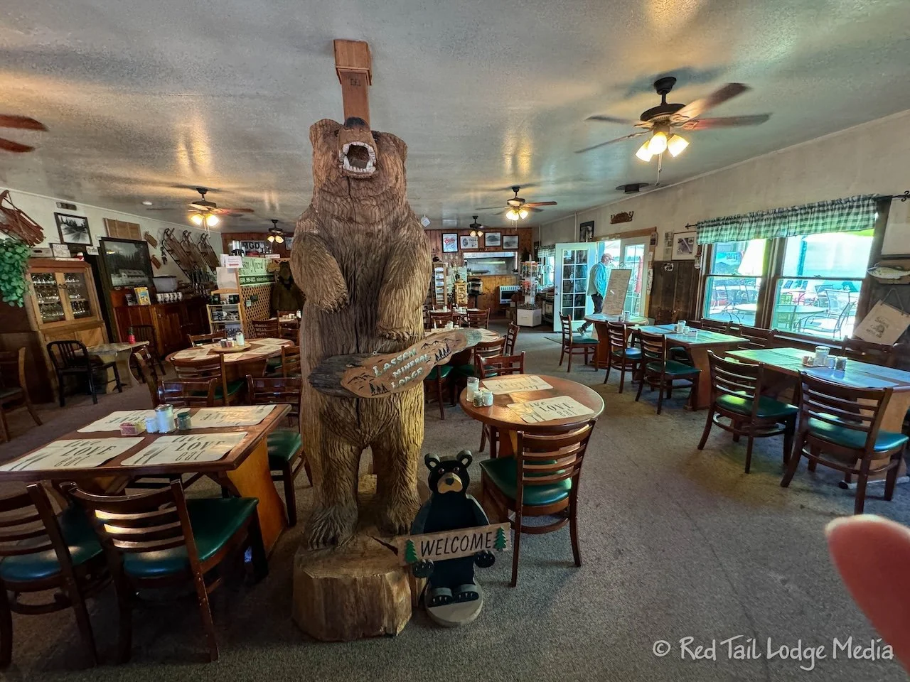
On the way back to Manzanita Lake, we decided to stop for dinner. There were not many options along the route. Originally we picked out a pizza place in Shingletown, but it was closed that day. Just about the only other option which was open was the Lassen Mineral Lodge restaurant in the town of Mineral, not far from the south entrance to the park.
We arrived at 4:30 pm, but the restaurant didn’t open until 5 pm. We sat on a couple of rocking chairs on the front porch, enjoying the cell signal on our phones until the restaurant opened. The place had a lot of charm. Rag time and folk music were playing softly in the background.
Keith had the fried cod, while Ann had an elk burger with garlic fries. The food was decent, but dessert was even better. The mixed berry cobbler and apple crisp, both a la mode of course, were delicious.
On the drive back along the winding roads, we saw more wildlife than we had seen during our whole stay in the park. There were deer, rabbits, squirrels, a wild turkey, and lots of quail. We meant to stop in Shingletown for gas, but we missed it. Hopefully the Old Station Fill Up will be open in the morning on our way out because our tank was getting pretty low. There is a gas pump at Manzanita Lake, but, along with the showers and laundry facilities, it was closed.
Despite much of the park being closed, we had a wonderful time in the park. We would later realize how lucky we were to visit it, as the park closed on July 27th due to the nearby Park Fire. It would not partially reopen again until August 17th. Our advice is not to wait for the ideal time to visit a place, because things can happen at any time.
Check out our related video: Lassen Volcanic National Park, California
(Ann)

