
Joshua Tree National Park, California - May 15th to 19th, 2024

Joshua Tree National Park is about more than just Joshua Trees. Like so many of our national parks, it is a combination of the natural wonders, wildlife, and local history that make these places special. We’ve been to Joshua Tree before, but our previous visits were too short. This time we took a little deeper of a dive into the park.
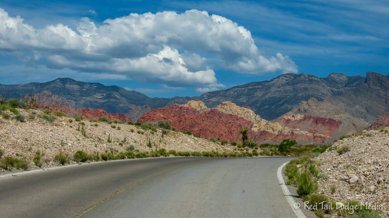
Wednesday was another travel day, from Red Rock Canyon near Las Vegas to Joshua Tree National Park in California. Both Red Rock Canyon and Joshua Tree campgrounds do not have dump stations nor potable water fills, so that was our top priority for the day. Keith called ahead to the KOA Journey in Laughlin, Nevada, to see if we could dump and fill there. It cost $20 to dump, but water filling was free.

As we approached Laughlin, we were hungry, so we crossed the Colorado River and parked at a Safeway in Bullhead, Arizona. We needed groceries as well. We passed by a nice park along the river in Bullhead, but they wanted $20 to park. That seemed like a little much for a quick picnic lunch, so we ate in the Safeway parking lot. It wasn’t as scenic, but it was sufficient. After we ate, shopped and topped off our gas tank while the gas was relatively cheap, we drove back over the river to Laughlin to the KOA.

The shoreline along the Colorado River on the Nevada side was lined with casinos. In fact, the KOA was associated with the Avi Casino. We arrived at the KOA during the office’s lunch break, so they were closed for another 45 minutes. Rats! Now what do we do?

We went over to the dump station, but it was locked. It took us a little while, but we found the potable water fill on the back side of the office. Since the water fill was free and it was not locked, we decided to go ahead and fill up our fresh tank while we waited for the office to open back up. We were gambling a little because with both our fresh and gray water tanks full, we knew Red Tail (our Winnebago EKKO) was over its GVWR (Gross Vehicle Weight Rating). By the time we finished filling, the office was open, thankfully. We gladly paid our $20 and dumped our tanks.

By that time, we were both hot and tired, so we just let Google Maps tell us the fastest way to the town of Twenty Nine Palms. Our plan was to go out to dinner in town before heading over to the Jumbo Rocks Campground inside the park. Of course, Google Maps took us along I-40 most of the way. Had we been paying closer attention, we would have chosen to head south on highway 95 and take highway 62 west to Twenty Nine Palms, which is marked as a scenic route in our atlas. We generally like to avoid interstates and semi-truck traffic, opting for the more scenic routes.

In Twenty Nine Palms, we ate at Rocky’s New York Style Pizza. The food was not the best pizza we’ve ever had, but it filled our bellies and we didn’t have to cook it ourselves.

By the time we set up camp, there was less than an hour before sunset. Ann still wanted to get her one hour of exercise in for the day, so we went for a walk. The Skull Rock Trail goes right through the campground and is only 1.7 miles long. Perfect! It was an interpretive trail, but we didn’t want to take the time to read them all. We did learn that the skinny cactus that we had also seen at Red Rock Canyon (link to post) was called Pencil Cholla.

As we were finishing the trail, we were treated to a spectacular sunset. Ann closed her exercise ring, but not her move ring (calorie goal) nor her standing ring. Oh well, you can’t win them all.

It was in the 100’s in Laughlin, but luckily it was only in the 90’s in Joshua Tree and dropping fast with the sun. Back at Red Tail, we sat outside for about an hour after dark. The air had cooled down into the low 70’s with a gentle breeze. The crickets were chirping. An owl’s hoot was echoing off the rock formations. The light from our neighbors’ campfire was casting a wonderful glow on the rocks behind our sites. It was such a peaceful and relaxing setting, regenerating our spirits and our souls. We felt so relaxed that we decide go to bed early. We turned off the fans and opened all the windows, so we could listen to the crickets and the coyotes and let the natural breeze keep our bodies cool and comfortable as we laid in our beds.

Thursday morning, we had a leisurely breakfast. Because of the orientation of Red Tail, the shade it provides in the morning is in the road. However, the bushes surrounding our campsite provided enough shade to sit in our chairs, at least for a couple of hours. There was a constant buzz of bees as they enjoyed the yellow flowers of the creosote bush. A beautiful yellow butterfly would flutter by every now and then, but would be gone before Ann could pull up her camera. It never landed anywhere, just fly by to tease Ann.

After breakfast, we walked the Skull Rock Trail again, this time in the opposite direction and slower, stopping to read all of the informational signs. We also tacked on the Discovery Trail. The two trails together totaled 2.8 miles with an elevation gain of 197 feet which we completed in less than an hour and a half.

Back at Red Tail, we ate our lunch. The bushes no longer provided enough shade, but our RV did, this time on the non-road side.

Then we got our bikes out for a bike ride. On our way out of the campground, we dropped off our recyclables. Our bin was full as the previous campgrounds didn’t have recycling. There was one large recycling bin at the entrance to the Jumbo Rock Campground and our camp site, naturally, was at the other end, the furthest from the entrance.

At the park road, we turned left, heading northwest. Once we emerged from the rocky area, there were Joshua trees as far as the eye could see. Then we entered a mountainous area. The grade wasn’t too bad, but we were thankful we had pedal assist. We stopped at the Hall of Horrors.

The Hall of Horrors was another area of large boulders piled on top of each other. We’re not sure why the area is called Hall of Horrors. We were expecting a path in among the boulders, but there wasn’t one. It would probably be a great place to go bouldering.

We continued on to the next stop, called Oyster Bar. We’re not sure what that stop was about. The interpretative sign had nothing to do with an oyster bar. In fact, the picture on the sign didn’t seem to resemble the view we were seeing, so it didn’t make much sense to us. It was talking about geology and pointing out features that we couldn’t see. However, we did see a bird enter into a teddy bear cholla, then emerge again. It looked like there might be a nest in the cactus. Ann started to walk towards the other side of the cactus to see if she could get a better look. The bird started scolding her so she stopped. Then another bird, probably the first bird’s mate went into the cactus. Ann patiently waited to see if she could get a video of the bird emerging from the nest, but it stayed inside. It was probably trying to protect the nest from us. So we left them in peace and started heading back to the campground.

By the time we returned to the campground, we had ridden 13 miles with an elevation gain of 550 feet in a little over an hour. It was a nice short ride to get a little more exercise in for the day.

The rest of the day, we hung out at camp. While Ann worked on a video, Keith mounted a pill bottle on the wall behind the stove with a command strip. He’s hoping that keeping the pill bottle visible will help remind him to take his medication in the morning.

Friday morning, we were entertained by the wildlife again as we sat outside eating breakfast. A rabbit came through our camp, not really bothered by our presence. A large rattlesnake slowly slithered its way across our site. There were kids playing a couple of sites over, so Ann walked over to warn their family about the rattlesnake. The young girl seemed really excited about the snake. She came over to our site, wanting to know what type of rattlesnake we saw. With her park brochure in hand, she looked at the pictures of the snake Ann had on her camera. The two of them decided it was a southwestern speckled rattlesnake. She ran back to tell her dad.

The ground squirrels were perched high up on the tops of the boulders, sounding the alarming. At first we thought they were signaling that there was a rattlesnake in the area. But then a coyote darted past us. Ah, that’s what all the fuss was about. They continued sending out the message for quite some time.

When we lost the shade from our bushes, we drove into the town of Twenty Nine Palms and to the 49 Palms Oasis trailhead. The trail goes up and over a mountain ridge and down to an oasis of fan palms.

A natural spring created a beautiful oasis in the desert landscape. We saw a lot of lizards along the trail, more variety than we had seen so far in the park.

When we reached the oasis, we sat down in the shade of a palm tree for a snack. There was no shade along the trail and the temperatures were approaching 100 degrees, so the shade was very welcoming.

The lizards greeted us once more as we made our way back to the trailhead. We had gone 3.3 miles with an elevation gain of 633 feet in two hours and 35 minutes. We counted it as hike number 16 of our 52 Hike Challenge for 2024 and as hike number 37 of our National Park Series.

Then we drove over to the Joshua Tree National Park Visitor Center, which was located in town. We were hoping there would be a park movie where we could sit down and enjoy the air conditioning to cool off for a little bit. There was a short movie playing in the room with the exhibits, but there was no place to sit. After browsing through the exhibits for a while, we needed a place to sit and enjoy a cold beverage. So we went over to McDonalds. While we sat there cooling off and rehydrating, Ann pulled out her laptop, paid some bills, and downloaded some information while we had a cell signal. There is no cell service back at the campground.

On the way out of town, we stopped at the Oasis of Mara behind the park headquarters, where the visitor center was at one time. The Oasis of Mara was not as impressive as the 49 Palm Oasis. There was no visible sign of water and many of the palm trees did not look very healthy. But there was a short trail with interpretative signs along the way.

By the time we finished up in town, it was getting rather late in the day. We originally wanted to hike the Arch Rock Trail, but skipped that and just drove down to the Cholla Cactus Garden. The trail through the garden is short, but the area is impressive to see. There are thousands of teddy bear cholla, also known as jumping cholla, dominating the landscape.

The fuzzy cholla look cute, but their thorns are barbed and are said to be quite painful to remove from your skin. Small pieces of the cactus easily break off from the plant, so they can be carried off by whatever animal the thorns may attach themselves to. Piles of pieces were lying around the bases of the plants. They reminded us of the “Troubles with Tribbles” episode of Star Trek.

At the trailhead, there was a small snake hanging out of a bush, literally. It was drawing quite a crowd of spectators, including Ann with her camera.

When we returned to camp, we were thankful that the temperatures at the campground were a little cooler than they were back in town. We didn’t hike a lot of distance that day, but we felt exhausted, probably due to the heat.

Saturday we woke up to a quail which was constantly calling. It was perched up high, on top of a boulder, calling out for hours. Every now and then, it would fly to another high perch and continue its message. It was as if it was trying to find its buddies, mate, or young. After a couple of hours, we lost track of it. We hope it found whomever it was looking for.

It was a very blustery day. It was too windy to spend much time sitting outside, especially when we were eating our meals. We didn’t want our food blowing off our plates.

After an early lunch, we went for a hike right from our camp site. We took the Skull Trail over to the Discovery Trail, then the Face Trail to reach the Split Rock Trail. After completing the loop of the Split Rock Trail, we returned on the Face Trail and continued the rest of the Discovery and Skull Trails. Even though we were hiking in the heat of the day, the strong wind kept us comfortably cool.

On the Split Rock Trail, there were lots of a type of yucca that we’ve never seen before visiting Joshua Tree. There were nice examples of the yucca in various stages of blooming. The bees seemed to really like one of the stages. The dried flower stalks looked like ferns.

By the time we returned to Red Tail, we had gone 5.3 miles with an elevation gain of 469 feet in two hours and forty minutes. It was hike number 17 of our 52 Hike Challenge for 2024.

Ann spent part of the afternoon fixing her hair brush. She bought a small hair brush in preparation for our Europe trip in 2025. We’re trying to downsize the gear we will be taking with us abroad. However, the bristles separated from the handle.

She tried using the bristles without the handle, but it was rather difficult. So she used silicone to reattach the bristles to the handle. It takes 24 hours for the silicone to completely dry, so she’ll just have to use her fingers to brush her hair in the meantime. It’s OK. We’re camping. People will just think her hair has been blown around by the wind.

Sunday we explored the more historical parts of the park. We drove west over to the Barker Dam Trailhead parking lot. The Barker Dam Trail is a short loop trail, over to a concrete dam that was built by early cattle ranchers in the area.

The original dam was built in 1900, with an additional six feet added in 1949. The area used to be more lush than it is now. As water became more scarce, the cattle ranchers moved on.

Also along the trail is a petroglyph panel. The petroglyphs are highlighted with white, black, and red paint. Unfortunately, the paint is not from the original petroglyphs, but a result of vandalism.

From the informational signs along the trail, we learned what the type of yucca was that we saw along Split Rock Trail the day before. It is called Parry Nolina. The flower stalks were food for the Cahuilla Indians.

Back at Red Tail, we ate lunch before hiking the Wall Street Mill Trail. The trail also starts at the same trailhead as the Barker Dam Trail. The Wall Street Mill Trail goes out to an old gold processing mill. The trail also passes near a windmill, an old truck, and a homestead. Interpretative signs at the mill describe how the gold was processed.

Between the two trails, we hiked 4.2 miles with an elevation gain of 180 feet in two hours and 25 minutes. We counted the combination as hike number 18 of our 52 Hike Challenge for 2024.

After our hikes, we drove up to Keys View. From over 5000 feet, you look over the Coachella Valley, home to the San Andreas Fault. Through the haze, you can see Palm Springs and the Salton Sea along with the snow-capped Mount San Jacinto and Mount San Gorgonio. At least they were snow-capped when we were there.

We returned to the campground in the late afternoon. Since we still had enough water left in our fresh tank, Ann took a refreshing shower. After dinner, we walked part way up the Skull Trail to watch the sun set. There were no clouds in the sky, so it was not as spectacular as the sunset we saw our first night in Joshua Tree, but it was still a nice way to end our stay in the park.

Despite the heat, we had a wonderful time at Joshua Tree National Park. We explored most of the park during our five nights and four full days inside the park. However, we still didn’t see it all. But we’ll save that for a future visit.
Check out our related video: Joshua Tree National Park, California
(Ann)