
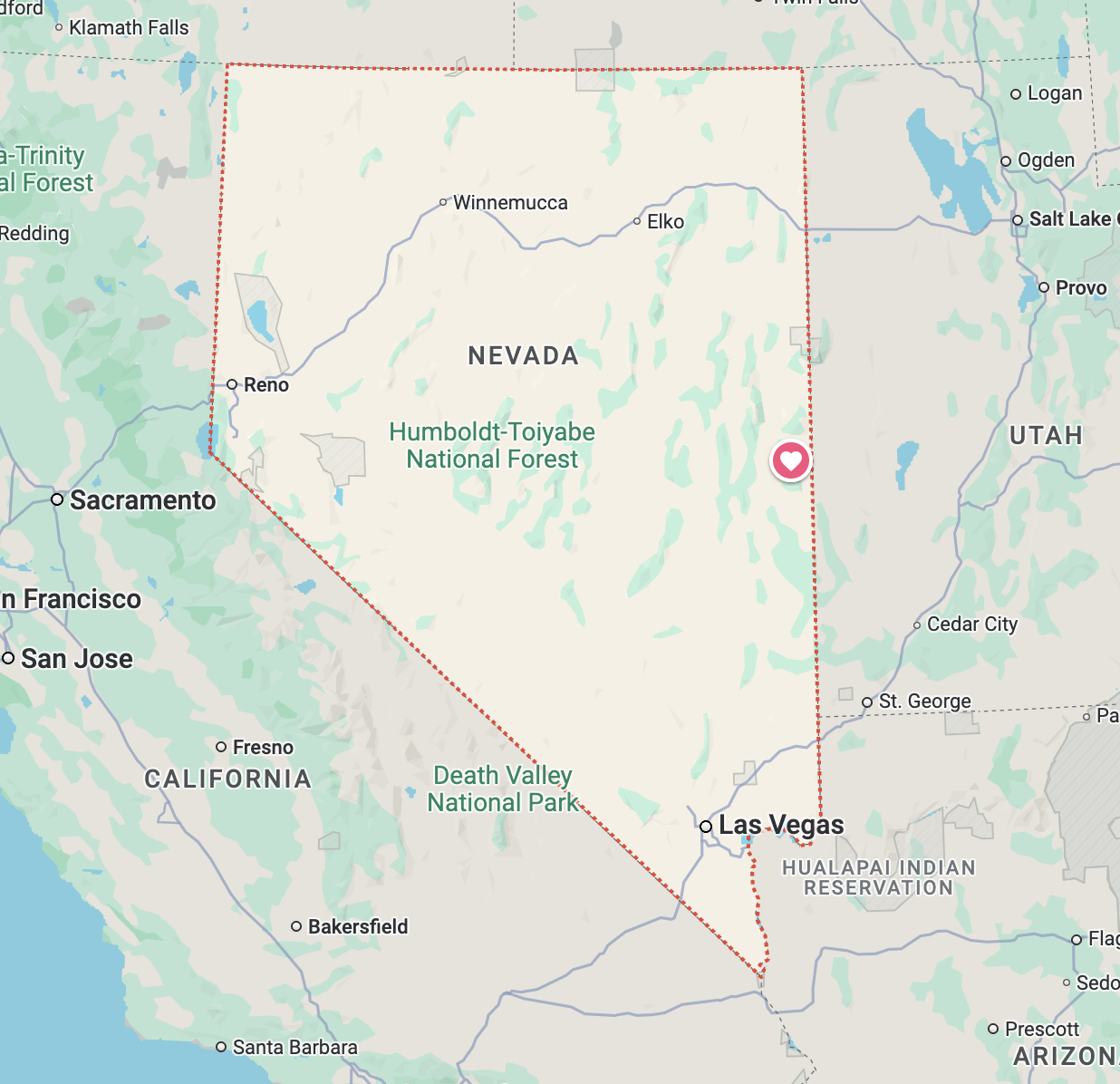
Great Basin National Park, Nevada - September 15th to 19th, 2024

The Great Basin refers to a region where precipitation that falls doesn’t flow to the ocean, but, instead, flows down to the desert valley floor and evaporates. The Great Basin covers most of the state of Nevada and then some. Multiple mountain ranges, running north and south, break up the wide desert valleys across the whole basin. Great Basin National Park only protects a small fraction of the Great Basin, mainly the South Snake Range mountains near the Utah border. It includes Wheeler Peak, the second highest point in Nevada, along with Lehman Caves and bristlecone pine groves.
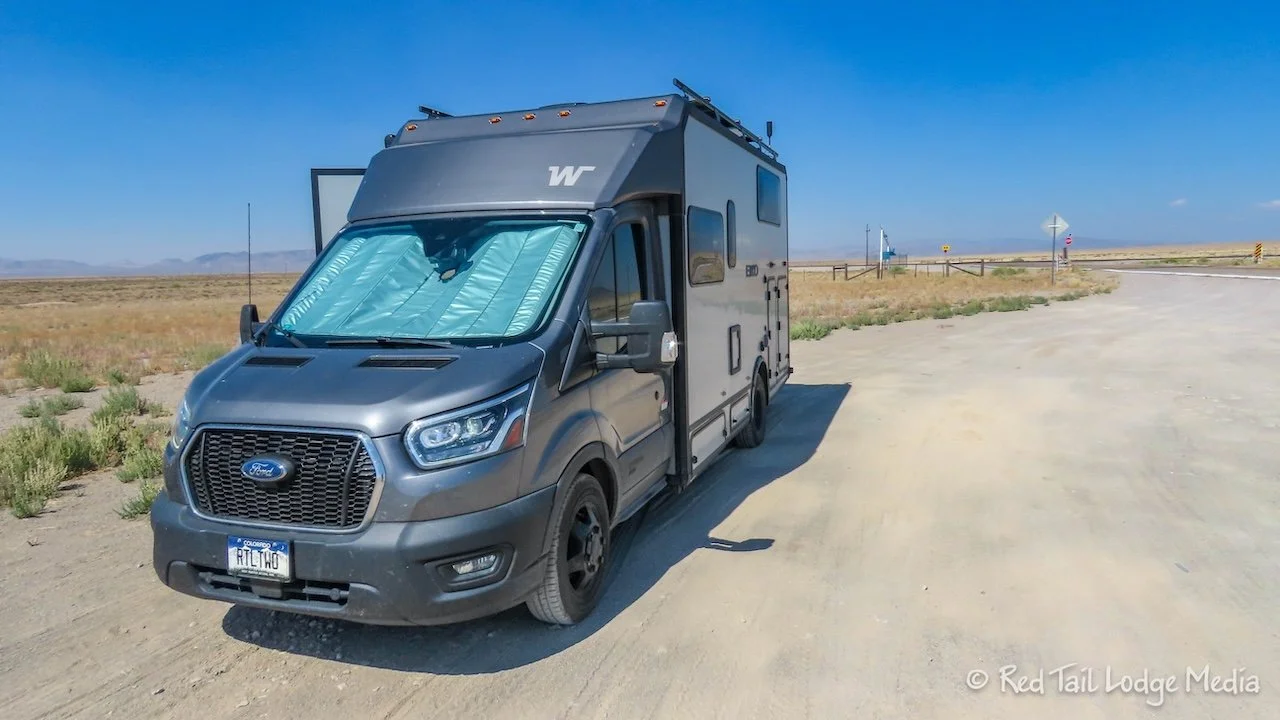
Sunday was a long travel day from Furnace Creek in Death Valley National Park in California to Upper Lehman Creek Campground in Great Basin National Park in Nevada. According to Google Maps, it was over a five and a half hour drive, which meant it was longer for us.
Since our camp site at Furnace Creek was full hookups, we dumped and filled our tanks right at our site before we left. We pulled out of Furnace Creek right at 8:30 am. Temps were already in the 90’s.
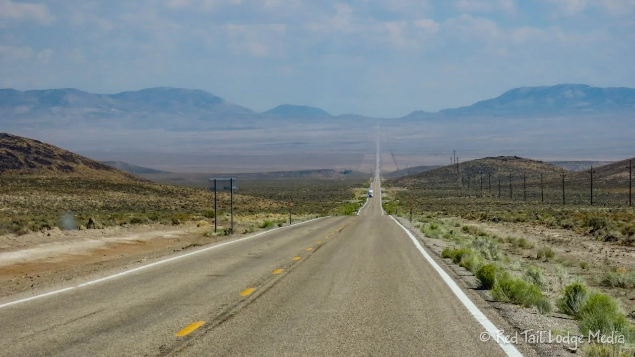
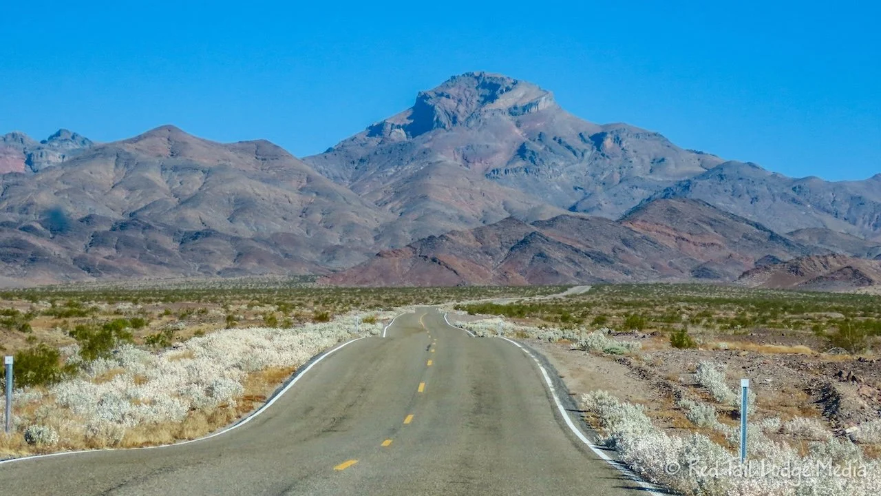
As we drove up in elevation, the temperatures cooled down. The rest of the drive was in the 80’s and mostly 70’s. We were surprised at the variety of terrain as we crossed the state of Nevada. We have never seen so many long straight sections of road in our lives. They seemed to stretch out straight to the horizon.
We stopped at a Love’s travel stop for gas and propane in Tonopah. Our next stop was just a gravel area alongside the highway to eat lunch. It was at the turn off for the Tonopah Test Range operated by the Sandia National Laboratories. There weren’t any rest areas marked on our map and there weren’t too many places to pull off the road, so we thought this was our best option. However, when we got back on the highway after lunch, just a few miles down the road was an actual rest area, with shaded picnic tables and bathrooms. Oh well.

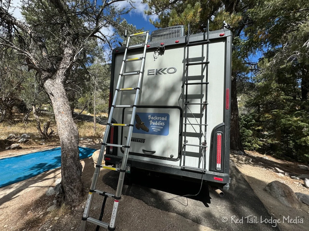
The last stops we made were in the town of Ely. We were surprised by the Ridley’s Family Markets grocery store for their wide selection of items. Then we drove over to an Ace Hardware store to find another step stool. Our automatic steps on Red Tail (our Winnebago EKKO) stopped working while we were at Death Valley. It seems to be an electrical issue, as there is no sound when we open the entry door. The motor is not even attempting to extend the stairs.

We had a step stool with us that we started using in Death Valley, as the step up into the rig is rather high, even for us tall, long-legged people. However, the step stool is plastic and not very sturdy. Plus, it is only 10 inches high. Something a little higher would be better. We found a metal folding step stool at the hardware store. It seemed sturdier and a little higher, at 12 inches.

Our final stop in Ely was at another Love’s, for gas again. Then we had another hour of driving to reach the campground. We were a little concerned as the campgrounds in Great Basin were all first come/first serve this year due to some construction work inside the park and some of the campgrounds were closed. We would have liked to arrive a little sooner, but we reached the campground close to 5 pm.
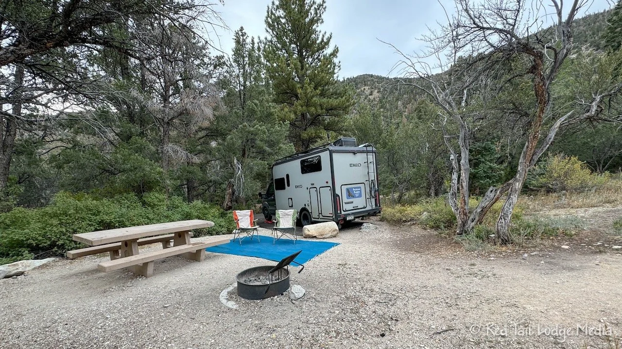
When we arrived, there were only a few sites left. They all had slips on the posts, but we got out and read that three of them had expired. It would be nice if people would pull their slips when they leave. Two of the sites were in the last loop that said no RV’s. So Ann walked the rest of campground loop while Keith waited in one of the non-RV sites just in case there wasn’t anything else.

None of the sites were very level, but the one we ended up in was really not level. Even with putting six inches under the front wheels, we were still off about eight inches front to back and about six inches left to right. We leveled the induction cooktop (paid link) with hot pads so that the pot would not slide off while we cooked dinner. And even with the new step stool, it was not easy stepping in and out of Red Tail due to the extra height off the ground.

Other than not being level, the campground was nice. We don’t mind vault toilets and they were kept very clean. Lehman Creek runs next to the campground. The sites are nestled in the trees, but with enough visible sky that we could set up Starlink. And the temperatures were in the 60’s. It felt so good after being in the hot dessert.

As we were setting up camp, we noticed that the end of our Super Slider (paid link) that holds our sewer hose was broken. It looked like the end of it had been crushed and the door was hanging open. Luckily, the sewer hose was still inside. This had us a little perplexed. We just used the hose that morning at Furnace Creek and don’t remember driving any steep entrances or exits that might have scraped the rear. We’ll have to rig something up so we don’t lose our hose until we can get it fixed properly.
Monday morning, our automatic stairs miraculously decided to start working again. Yay! We’ll see how long it lasts.

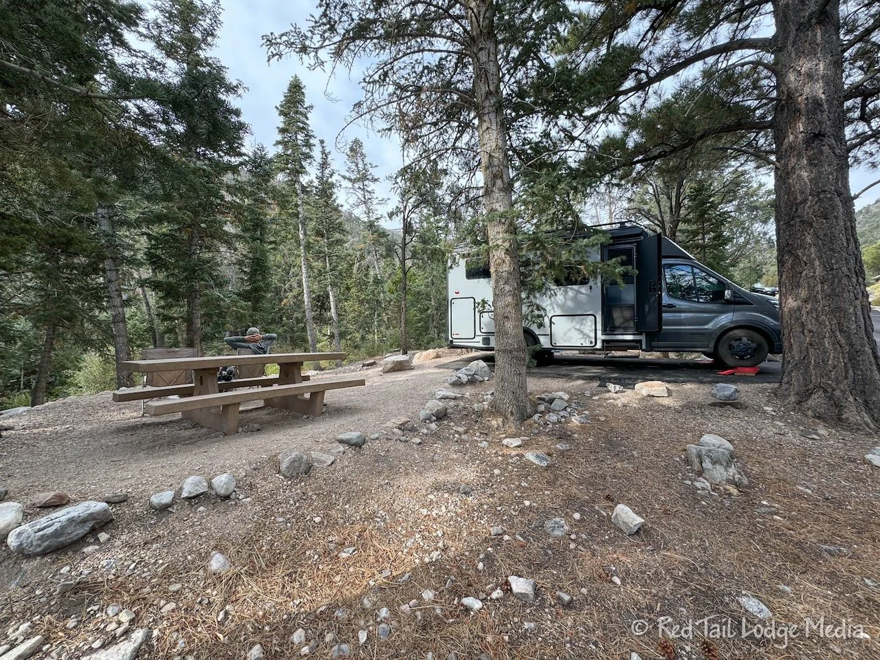
Our camp site was so unlevel that the bottle of juice slid off the counter and onto the floor while Ann was making her breakfast. Thankfully, the bottle was plastic and did not break open when it hit the floor. The camp site across from us emptied out early, so we moved sites. It was not really level either, but better than the one we moved from.

After moving sites, Keith repaired the Super Slider. He was able to bend the tube and bracket back into a circular shape by hand. Then he adhered the bracket onto the tube using silicone. Good as new! Well, let’s hope so anyway.

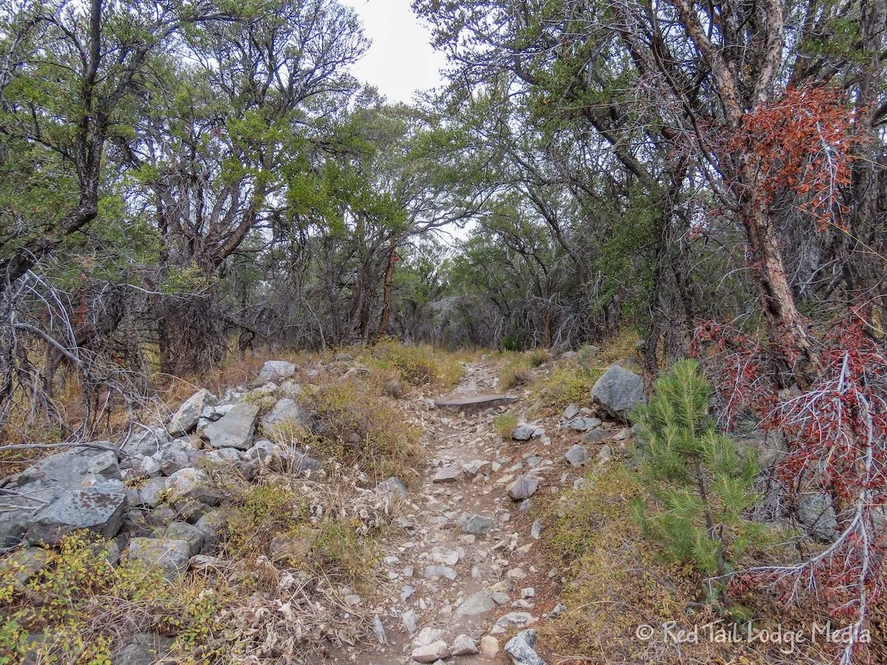
After all that, we got ready for a hike. There was a trail that led right from the campground that went up to the Wheeler Peak Campground. The other campground was closed due to the ongoing construction, but the trail, Lehman Creek Trail, was open right up to it. We love being able to hike right from the campground without requiring to pack up camp and drive to a trailhead. That was especially true this time, as it felt like we had been driving every day for the past two weeks, during our stays in Yosemite and Death Valley national parks.
As we started our hike around 10:30 am, there were dark clouds hanging over the mountain peaks. But our weather apps were predicting a very low chance of rain, so we started out anyway. It was rather windy and cold, but we knew that going into it. Temps were maybe in the fifties at camp and probably only in the 40’s near the end of the trail, since we were climbing more than 2000 feet in elevation. The strong winds made it feel even colder. Quite a shock on our bodies after being in Death Valley.
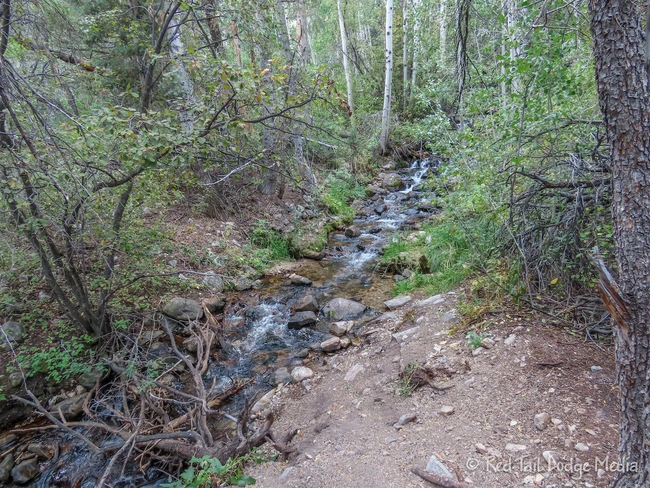
The trail is mostly in the trees, which protected us from most of the wind. Despite the name of the trail, it only followed alongside the creek for less than a third of the time. That was a shame because the creek was very pretty and the sound of the flowing water soothed our souls.
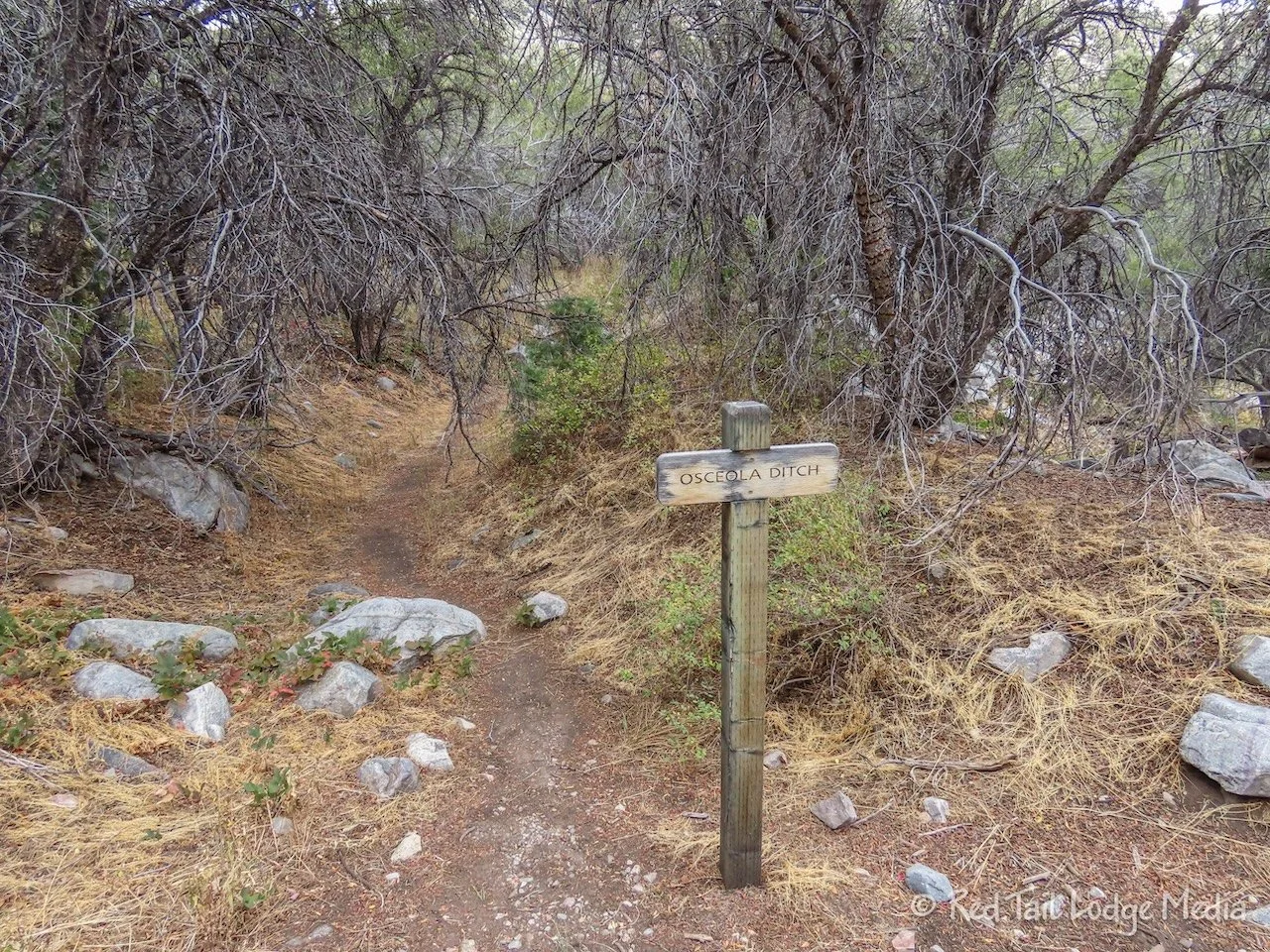
We crossed Osceola Ditch, which was completed in 1890 to divert water from Lehman Creek to Osceola for gold mining operations. The ditch no longer carries water, but there is a hiking trail that follows along the bottom of the ditch.

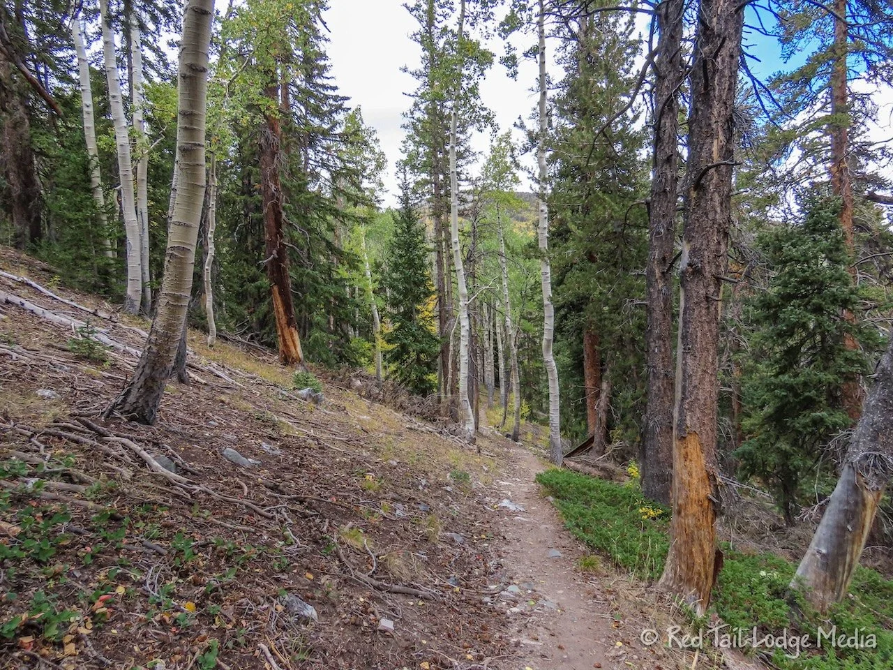
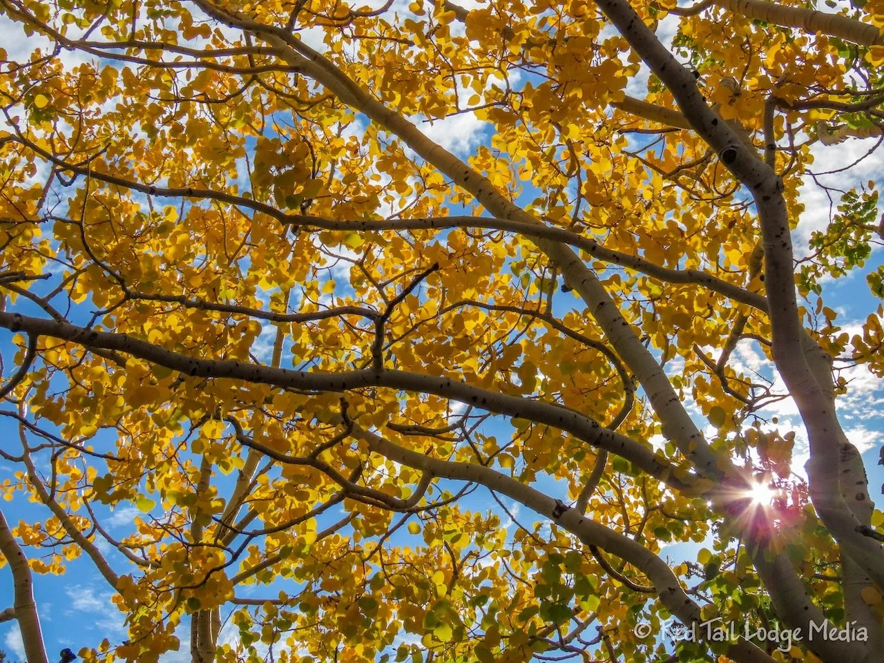
As we climbed higher, we found ourselves surrounded by aspen trees, starting to take on their fall colors. They made us feel like we were hiking in the Rocky Mountains back home in Colorado. The fallen, yellow leaves lined the path and led us on.

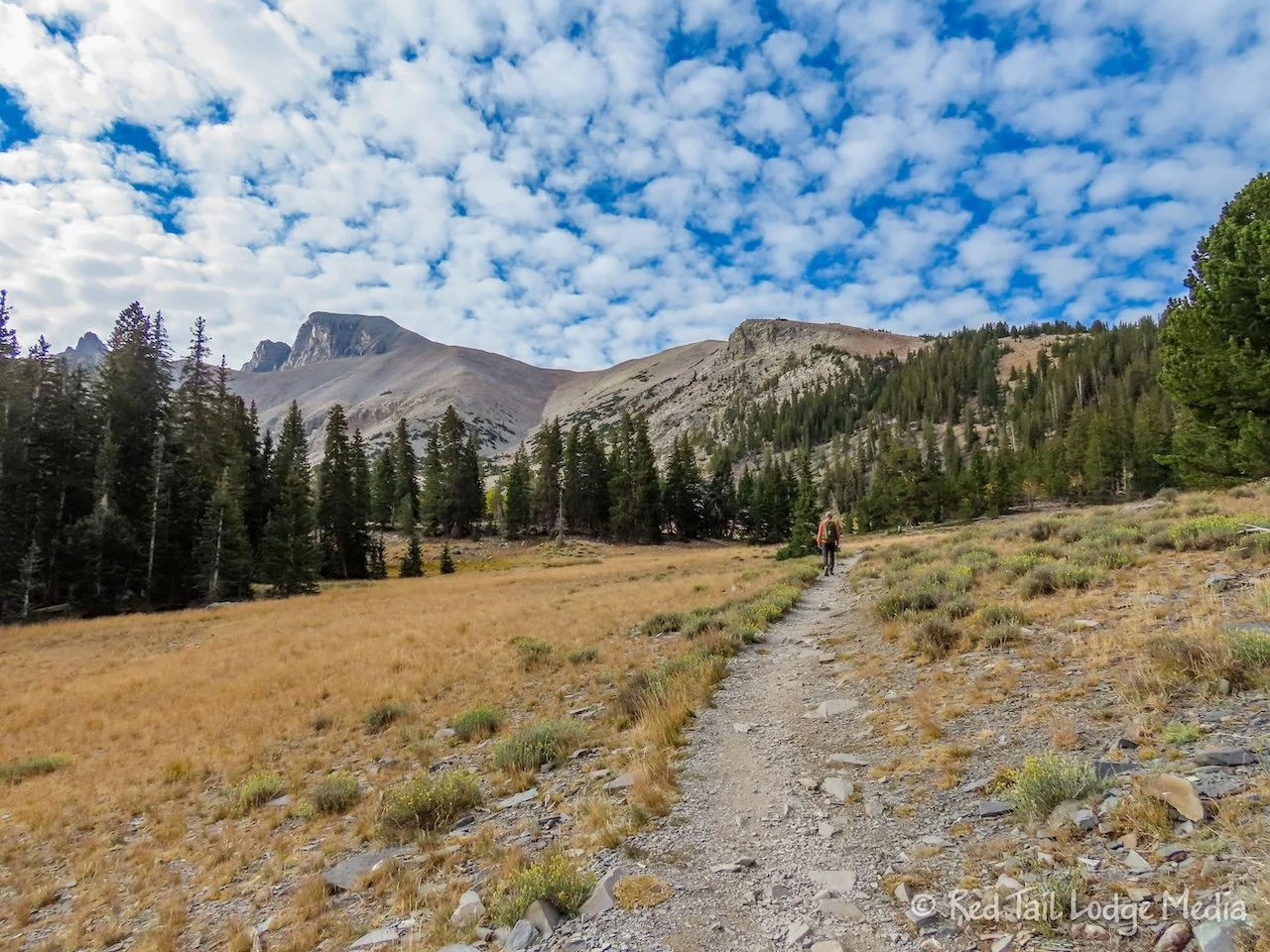
The trail opened up into a large meadow, with views of Wheeler Peak and Doso Doyabi. Wheeler Peak is the second highest point in Nevada, at 13,063 feet.

As we neared the end of the trail, we were starting to feel the elevation. The trail starts at around 7800 feet and goes up to 9800 feet. After spending four nights sleeping in Death Valley at 190 feet below sea level, the high elevation was another shock to our bodies.

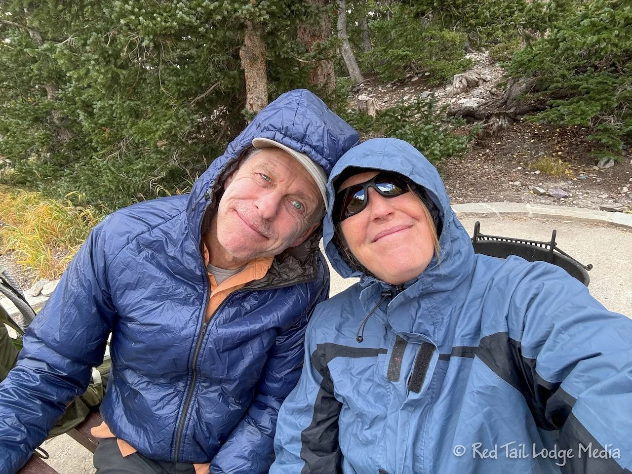
After two hours of climbing, we made it to Wheeler Peak Campground. Even though the campground was closed, we didn’t think using a picnic table at a camp site near the trailhead for eating lunch would be an issue. While we were hiking, we were dressing in only our regular hiking shirts, but we were starting to feel cold. Before we sat down to eat, we layered on more clothing on top of our shirts damp with sweat. Keith put on his puffy coat, while Ann put on a thermal top and her rain jacket. She even put up her hood to protect her ears from the cold wind.

As we sat there enjoying our lunch, a rafter of wild turkeys meandered across the meadow in front of us. The view was peaceful and beautiful. The meadow was lined with aspen trees with their golden leaves flapping in the wind.

As we were getting up from lunch, we noticed white stuff falling from the sky. We’re not sure if it was snow or graupel. It was probably cold enough to snow. Ann’s fingers and nose were cold, so she put on her gloves before starting to hike again.
On the way back down, it sprinkled on us a few times. Since we were going downhill, we weren’t generating as much body heat, so we kept our rain jackets on most of the way. At one point, Ann started to feel a little warm, so she took her rain jacket off, but she still had her thermal top on. Almost immediately, it started to rain again, so the rain jacket went right back on. We were thankful that the sprinkle didn’t turn into a steady rain or downpour, as that would have made for a very cold hike back.

By the time we returned to our camp site, we had gone 7.2 miles with an elevation gain of 2126 feet in four and a half hours. It was our 63rd hike for the year. The hike was a good way to get our bodies acclimated to high elevations again. Our next planned hike was for an even higher elevation.

When we got back, a cup of hot chocolate warmed us back up. As Ann was getting up from her camp chair, she noticed that her pants seemed to be sticking to the chair. Sure enough, there was a big spot of pine sap. It must have stuck to her pants when we were climbing over one of the logs across the hiking trail earlier that day. She tried scraping it off with a putty knife, but that didn’t do much. Then she tried rubbing alcohol (isopropyl alcohol). It worked really well on her pants, but not as well on the chair. There is still a visible stain on the chair, but at least it isn’t sticky anymore.
For dinner, we had grilled cheese and tomato soup. It was such comforting food on a cold day.

Tuesday we had reservations for a tour of Lehman Caves. The caves were what originally attracted tourists to the area. Tours of the caves started in the late 1880’s. The caves were part of the Lehman Caves National Monument from 1922 to 1986, when they became part of the Great Basin National Park.

Our tour didn’t begin until 11 am, but we drove over to the Lehman Caves Visitor Center an hour or so early. After checking out the exhibits inside, we watched the park movie. National Park movies always give great overviews of the parks we visit.
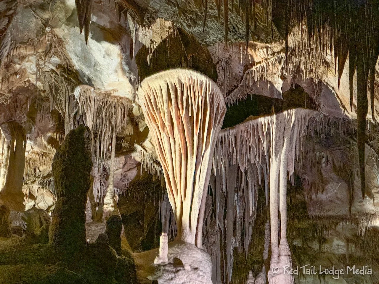
There are three different tours of the caves, the Grand Palace, the Lodge Room, and the Parachute Shield. Due to the ongoing infrastructure improvement projects, only the one hour Parachute Shield tour was being offered. Our cave tour guide was great. He was very knowledgeable and entertaining. The caves are filled with limestone formations, including some rare ones like shield formations.
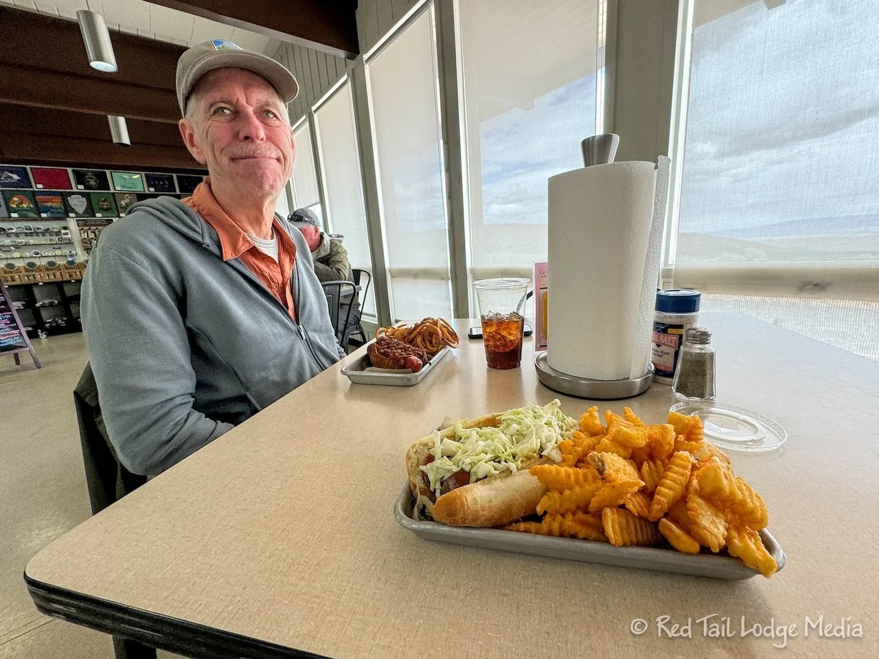
After the tour, we ate lunch at the Great Basin Cafe inside the visitor center. They had a variety of hot sandwiches and salads. Ann had the Special of the Day, a brat with BBQ sauce and coleslaw on top accompanied by seasoned fries while Keith opted for the chili dog with hand-cut fries.
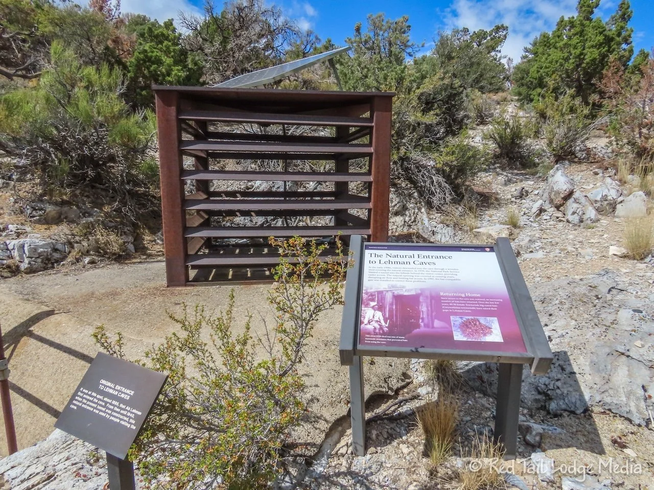
After enjoying our meal, we strolled the short nature trail behind the visitor center. The trail goes by the natural entrance to the cave. The early original tours lowered visitors down into the caves through this large hole. We were thankful that two other entrances to the caves were created which allow people to walk into the caves, instead of being lowered by cables.
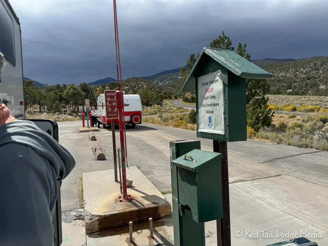
The dump station is near the visitor center, so we went over there to dump our toilet cassette. We were camping in the park for five nights, which is a little long for our five gallon cassette. However, it turned out that there is a $10 charge to dump. Had we known that ahead of time, we might have managed our toilet use better to stretch it out to five days. Ten dollars seems like a lot for dumping a couple of gallons of black water. We might have even opted to dump the cassette in the vault toilets back at the campground. But, we were already at the dump station, so we went ahead and paid our $10 to dump.

After dumping, we went back to the Great Basin Cafe. Keith saw they had milkshakes so he wanted one. Ann wasn’t in the mood for a shake, so she ordered a cinnamon roll. When Keith ordered his milkshake, he learned that the cafe’s ice cream machine was broken. He was so disappointed that he didn’t order anything. He just sat and watched Ann eat her pastry with a sad look on his face.

Wednesday was a chill day at camp. We needed it. Ann worked on a video while Keith worked on Red Tail.
Our rear view mirror camera (paid link) had been acting up. Sometimes the view would switch from the rear view to a split screen or to just the forward facing view. Sometimes the speed display on the mirror would read zero. Lately, we’ve struggled to get the rear view back. Keith started an email conversation with customer support. He checked all the connections. He crawled under the rig and visually inspected the wires running from the camera in the back to the display in the front. He could not find any evidence of animals chewing on wires. By the end of the day, the issues were not resolved, but the company was shipping us a new camera and a new GPS unit. We won’t know for a while if that fixes anything.

Our automatic stairs had been working flawlessly the past few days, but we’re thinking we’re going to replace them with manual ones. So Keith crawled under Red Tail again to see how hard it would be to remove the ones we have along with taking measurements of where the attachment points are. Then he spent some time online searching for replacement steps.

For exercise, Ann walked the campground roads, then took the 0.6 mile trail over to the Lower Lehman Campground. She turned around without entering the other campground since she knew it was closed and she didn’t want to interfere with any construction that may be happening.
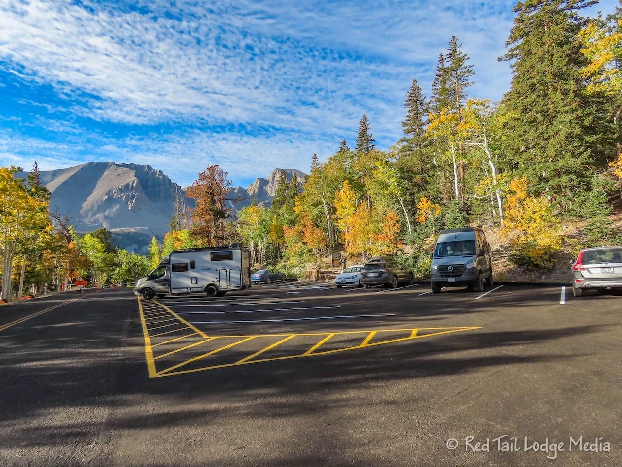
Thursday we got an early start to go on a hike. We were up at 7 am and at the trailhead by 7:45 am. The most popular trails in the park are at the end of the Wheeler Peak Scenic Drive. However, due to the ongoing construction, the end of the drive is closed from the Summit Trailhead to the Bristlecone Trailhead. That means everyone who wants to hike in the area has to park at the Summit Trailhead, where there are only 22 parking spaces. So we wanted to make sure we got a spot.
When we arrived at the Summit Trailhead, there were only about eight vehicles there before us. We drank our coffee and ate breakfast before hitting the trail. We started our hike at 8:45 am. By that time, there were only about half a dozen open parking spots left.
The trail we wanted to hike was the Bristlecone and Alpine Lakes Loop. The route in AllTrails included some of the Rock Glacier Trail as well. The route was 6 miles long with an elevation gain of just over 1200 feet. However, since we had to follow the Summit Trail for a mile before reaching the AllTrails route, that would have meant an 8 mile hike with a couple hundred more feet of elevation gain. To keep the mileage down, we decided to skip the Rock Glacier Trail.

The hike was beautiful. Parts of it were through aspen groves, with their colorful golden fall colors. From the trail, the Wheeler Peak and the Doso Doyabi mountain were in view much of the time. The two lakes, Stella and Teresa, reflected the surrounding landscape. The views included colorful mountain sides and the desert valley below stretching to the horizon.

Half way around the Alpine Lakes Loop, the Bristlecone Trail branches off. It leads over to a grove of bristlecone pine and limber pine. They both thrive at high elevations where most trees can’t grow. Bristlecone pine are the oldest living organisms on earth. They live for thousands of years. An interpretive loop through the grove had wonderful informational signs along the path.

The Rock Glacier Trail led off from the far side of the bristlecone pine loop. Ann was hoping to be able to see up the valley to the rock glacier from there. She even followed the trail about 100 yards to see if a view would open up. No such luck. Ann was willing to go up the trail further, but Keith did not. So we sat down on a bench among the bristlecone pine and ate our lunch, then we headed back.

By the time we returned to the Summit Trailhead, we had gone 6.4 miles with an elevation gain of 955 feet in just over four hours. It was our 65th hike for the yeark and number 46 of our 52 Hike Challenge National Park Series. The trailhead parking lot was full, but people were leaving so new arrivals could be lucky and get a spot.

On the way back down Wheeler Peak Scenic Drive, we stopped the Wheeler Peak Overlook and the Mather Overlook. Both overlooks had wonderful views. They also had some scopes, so you could try to spot hikers going up to or down from Wheeler Peak. We saw two hikers coming down. Ann was also thankful that you can see the Rock Glacier from Wheeler Peak Overlook. The glacier is the only one in the state of Nevada and one of the southernmost glaciers in the United State. The Rock Glacier in Great Basin is just that, rocks with glacier ice filling the spaces between the rocks. It is about two acres in area. The glacier is shrinking and may disappear in as little as twenty years.

Although Great Basin National Park is not very big, especially when compared to Death Valley National Park, it has a variety of things to offer. Mountains, caves, and wildlife. It was great to be able to relax more and not drive so much.
Check out our related video: Great Basin National Park, Nevada
(Ann)