
Coral Pink Sand Dunes State Park, Utah - May 7th to 10th, 2024
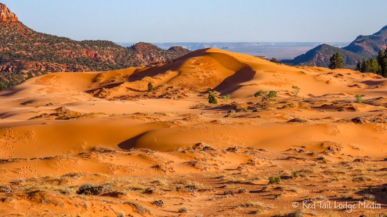
Our time at Coral Pink Sand Dunes State Park was another example of how the journey is just as important as the destination. The long drive to get there was one of the most scenic drives we’ve ever done. And Coral Pink Sand Dunes was just the pink icing on the cake.
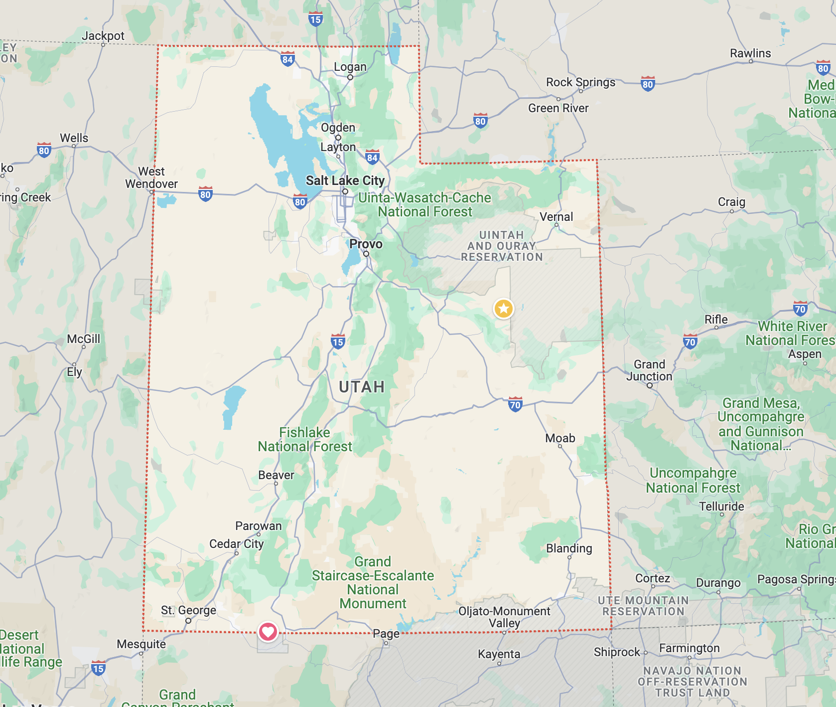
Tuesday was a long, but beautiful drive from Natural Bridges National Monument to Coral Pink Sand Dunes State Park, both in Utah. There was a short way there by dipping down into Arizona through Monument Valley and Page, but we’ve been that way before. We’ve never driven highway 95 before, so we headed north from Natural Bridges.

Highway 95 goes through Bears Ears National Monument, then Glen Canyon National Recreational Area, crossing the Colorado River. Lake Powell used to extend that far up north, but due to its extremely low levels, it is back to just being a river at that point. At one of the overlooks, we could see a boat ramp, that no longer reaches any water. The river isn’t even deep enough to put anything in it other than perhaps a small raft or kayak, definitely not something you would need a boat ramp for.

At Hanksville, we headed west on highway 24, stopping in Capitol Reef National Park for a picnic lunch. What we really wanted was homemade pie from the Gifford House. We pulled in at about 12:15 pm, but there was a closed sign on the Gifford House. Oh no! Then someone informed us that they were just closed for lunch. They would reopen at 12:45 pm. Phew! That gave us half an hour to eat our lunch before buying some pies. We bought a couple of personal sized pies to go, one mixed berry and one cherry. They were doing a brisk business, selling a pie about every 15 to 30 seconds.

We don’t remember Capitol Reef being so busy the last time we visited (Capitol Reef National Park - June 22 & 23, 2019). All of the trail heads were packed. The Visitor Center parking lot was full. However, part of the Scenic Drive was closed, from the campground down to Capitol Gorge, for rehabilitation during 2024, so perhaps that concentrated more people in a smaller area. We’ll see what the crowds are like when we return in October for a more extended visit.

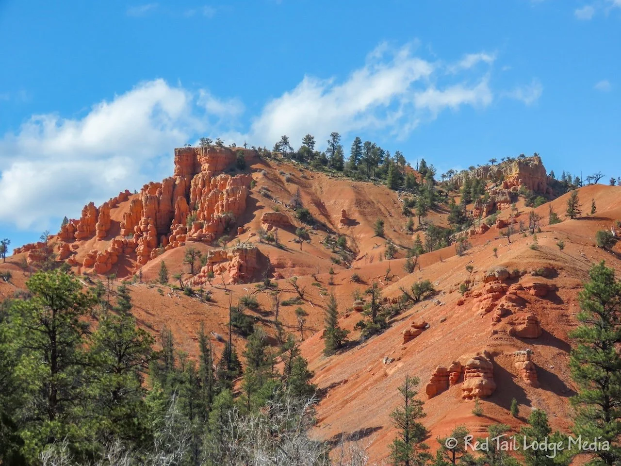
At Torrey, we turned south on highway 12. That took us through the Dixie National Forest, Grand Staircase Esclante National Monument and right by Bryce Canyon National Park. We stopped in Escalante for a few groceries along with milkshakes from Nemo’s. The ice cream flavors at Nemo’s looked interesting, including huckleberry, but we opted for milkshakes so we could get back on the road. However, the milkshakes were too thick to drink, so we ended up sitting at a table and consuming them before climbing back into Red Tail. Ann marked Nemo’s in Google Maps to make sure we stop on our way back through the area in October.
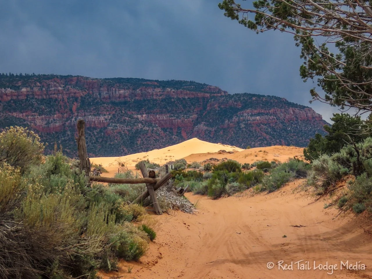
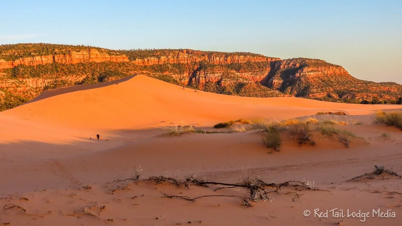
After passing through Red Canyon, we turned south on highway 89 which took us most of the rest of the way to Coral Pink Sand Dunes, near the Arizona border. We had left Natural Bridges before 9 am and reached Coral Pink after 6 pm. It was a long day of driving, in high wind gusts. Keith did all of the driving as Ann kept her shutter finger busy. He was ready to be done. The scenery we saw that day was probably the most picturesque and varied that we’ve ever driven through in one day. Keith recommends you don’t do it all in one day. There are plenty of places to stop, explore, and camp along the way to break up the drive.
When we arrived at Coral Pink Sand Dunes, we saw all the accommodations for OHV vehicles to go out onto the dunes. Oh no! Does that mean that pedestrians are not allowed to go onto the dunes? We’ve encountered that before in Oklahoma (Little Sahara State Park, Oklahoma - March 7th to 8th, 2023). To our relief, people were allowed to walk and hike out on the dunes. There are some areas where vehicles are not allowed and they are required to stay 100 feet from pedestrians. However, hikers should also be watching out for those whip flags that the vehicles are required to have, because a driver may not see you as it comes over a dune.

Ann grabbed her camera and walked out to the large dune from the Overlook Viewing Area. There were plenty of people doing the same thing. Three guys were sand boarding down the dune. As they were moving to a different area of the dune, Ann noticed something red on the side of the dune where they had been. It was one of their bandanas. They seemed a little reluctant to hike back to retrieve it. Ann wandered over near the bandana and decided it wasn’t too far down the dune. She went down and retrieved it for them. Hopefully they didn’t feel too guilty about not retrieving it themselves. She chatted with them a little while. They rented the sand boards from the Visitor Center. They were $25 for the day. It looked like wax was also provided to apply when the boards started to stick.
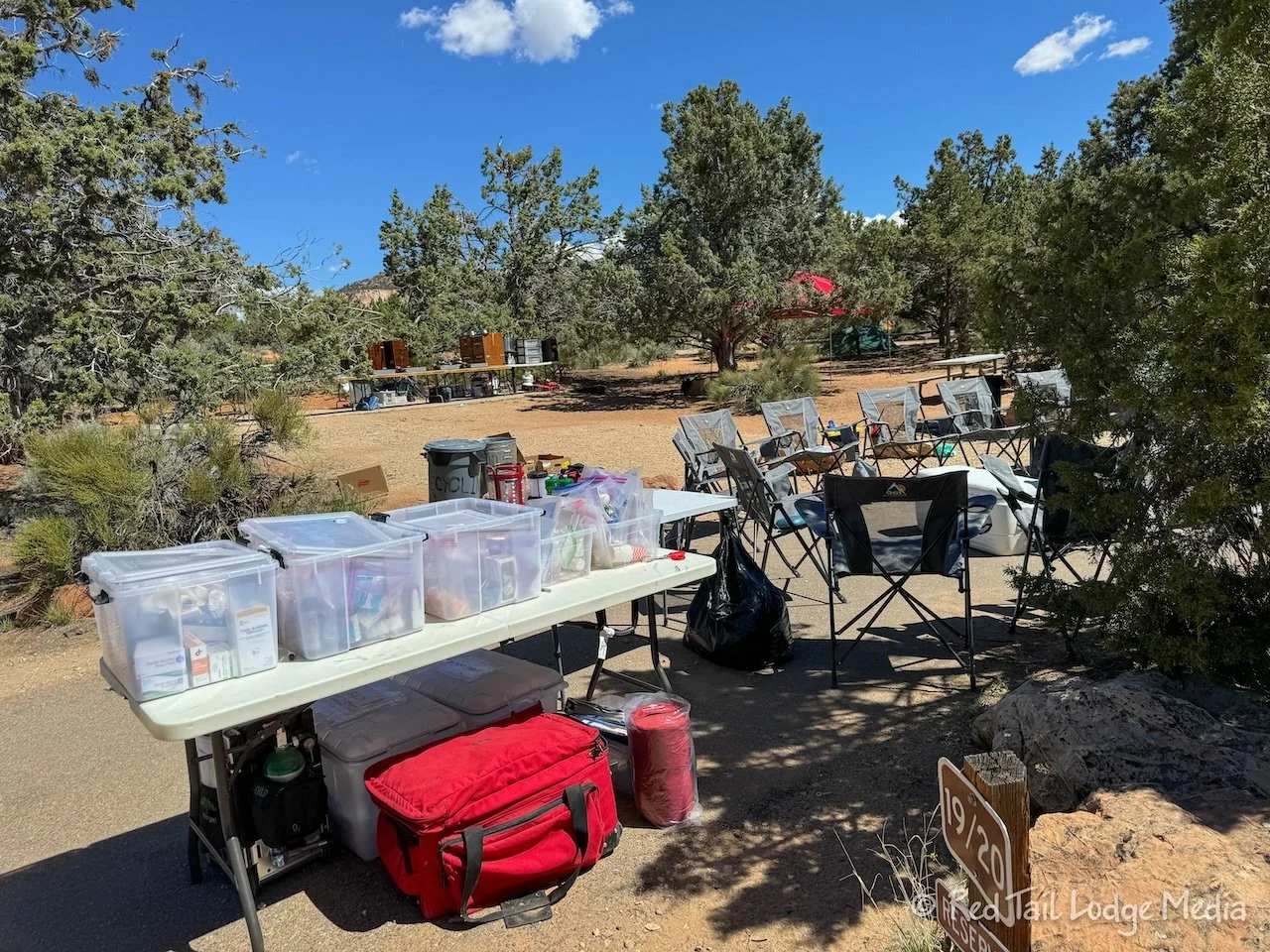
The campground was teeming with teenagers. A group of middle school kids from Houston were on a week long trip. Their school has been doing this trip every year for decades. They used to go to Big Bend National Park, but the park doesn’t allow groups any more. So the school switched to Utah. They fly into Vegas and pull their camping gear out of storage. The kids do all the work, from setting up camp, cooking, and cleaning up. What a great trip!

Our kids did something similar, called Outdoor Education, but it was more local. Their middle school took a trip up to YMCA of the Rockies in Estes Park, Colorado for a week. It was a chance for kids, some who had never been up in the mountains before, to learn about the outdoors along with some survival skills, such as shelter building. We had taken our kids tent camping up in the mountains many times, but they still had a great time with their classmates.
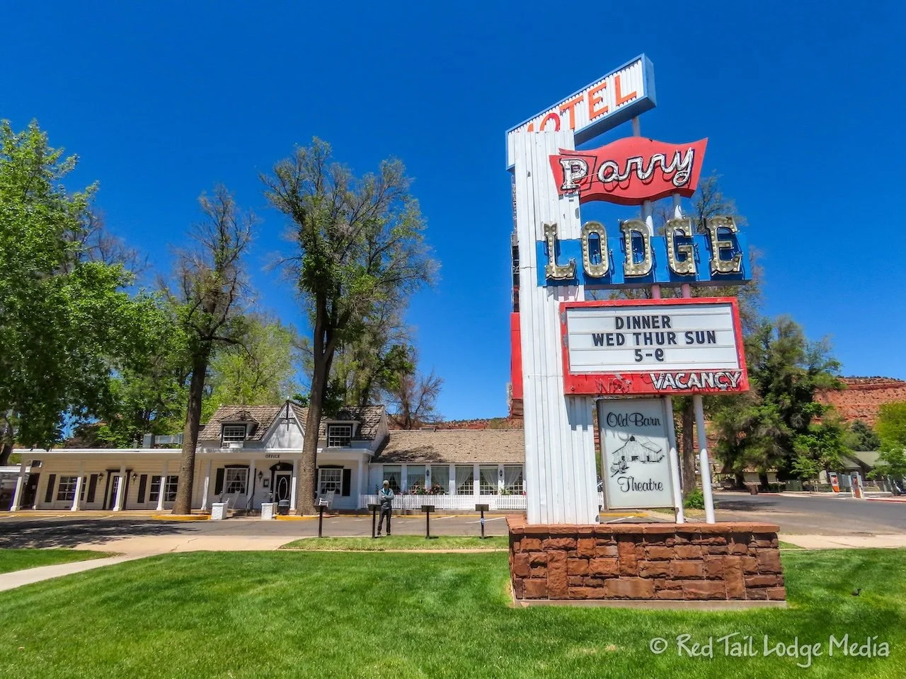
Wednesday, we drove into the nearby town of Kanab. We’ll cover that in our next post.
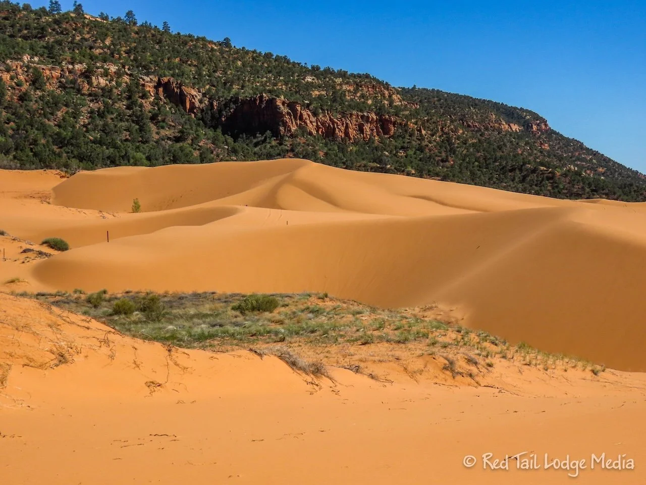
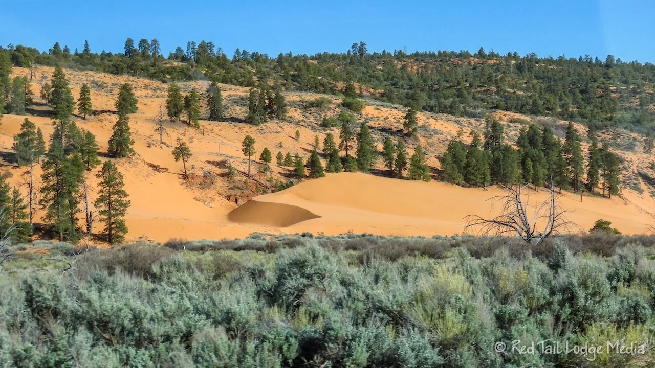
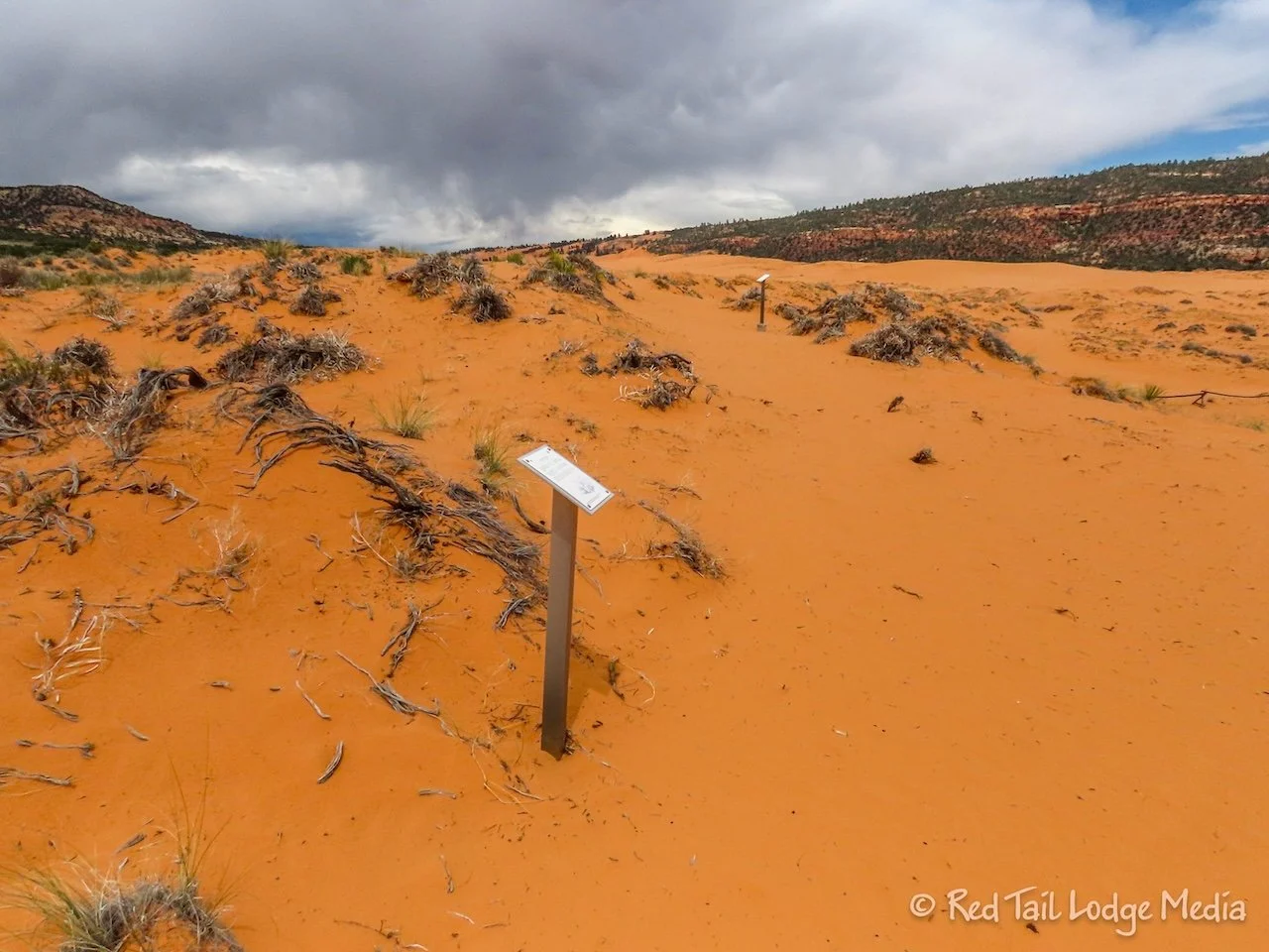
On our way back from Kanab, we stopped along the road, about 1.5 miles from the Coral Pink Sand Dunes Visitor Center. There was a pedestrian access to the dunes, in the Conservation Area, which was off-limits to motorized vehicles. Ann wandered the dunes there for almost an hour. There was quite a bit of vegetation trying to take hold in the dunes. Ann was in search of a kangaroo rat. She figured they would be hiding in areas of vegetation. She thought she caught a glimpse of one as we were filling our fresh tank earlier that day.
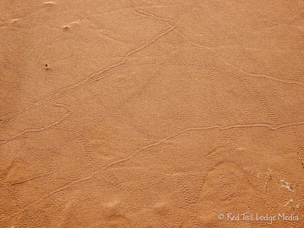
Ann saw lots of small animal tracks that looked like they could be from a kangaroo rat, but she didn’t see any. They probably heard her coming and stayed well hidden. She did see some lizards and quite a variety of bugs. She was amazed as the variety of plant life trying to take hold in the sand, including some trees. One little scraggly shoot of a plant was easily blown around by the wind, so much so that it had etched a perfect circle in the sand around itself. It was as if it was trying to mark out its personal space.

Thursday was a leisurely morning. Ann walked over to the Visitor Center to see if she could get a better wifi signal. She sat on a bench right outside the building and fired up her laptop. OMG! The internet connection was screaming fast! Out of curiosity, she ran a speed test: 134 Mbps down, 43 Mbps up. That’s better than the speeds we were getting in Kanab the day before. It looked like the park is using Starlink. There’s no need to drive 30 minutes into town for internet.

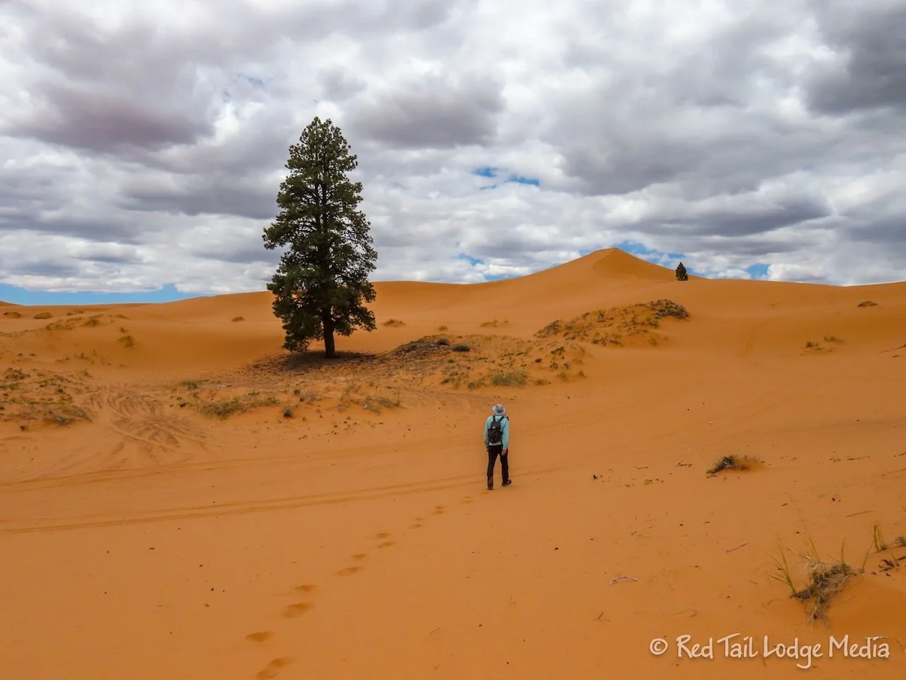
After lunch we did the GPS Hike. The Visitor Center has brochures that list the GPS location of twelve different ponderosa pine trees on the far side of the dunes. Three are grouped into what they call a short hike and the other nine are part of a long hike. The park has GPS devices that you can use, but we just loaded the 12 GPS locations as way points into Keith’s Gaia app. We decided to try to find all 12 trees.

All of the trees are about a mile across the dunes from the Overlook, with about a mile between the one furthest to one side and the one furthest in the other direction. There were signs posted at each tree, so you knew when you found the right one. The sign listed the birth year of the tree (according to tree ring dating), along with interesting facts about that year in history. The oldest tree was from 1562 and the youngest was from 1978. Unfortunately, a couple of them were now dead.

Along the way, we came across a statue of “Sandsquash”. The sign posted next to it said that if you take a selfie and post it on social media, you can buy a t-shirt at the Visitor Center (with a discount). We’ll have to check that out.

We managed to find all twelve trees. It took longer than we thought it would, as we were trudging through sand the whole way. In addition to the trees, a variety of animal tracks and vegetation kept us entertained. The OHV’s out on the dunes turned out not to be that big of a deal. The dunes are large enough that we hardly saw any vehicles the whole time we out there. Only one small group of buggies drove by us.
In total, we went just under 3.5 miles with about 500 feet of elevation gain in two hours and 40 minutes. It was hike number 13 of our 52 Hike Challenge for 2024.

We didn’t do much on Friday. Keith heard the school kids packing up at 6:30 am. Ann slept right through it. By the time we got up, all the kids and all of their gear was gone. The campground was pretty deserted, as they had taken most of the sites in the loop. However, it was the start of a weekend, and the sites started filling up again that evening.
After lunch, we started walking over to the Overlook platform to walk the interpretative nature trail. However, big dark clouds started rolling in. Just as we were starting the trail, we decided the clouds looked a little too ominous, so we headed back to Red Tail. The clouds dropped a little rain, but not much.
The skies cleared up some after a couple of hours, so Ann headed back to the nature trail. Keith decided to stay inside Red Tail. He is not a big fan of walking in the sand and can’t stand the feel of sand between his toes. Ann was just grateful that he went on the long dune hike with her the day before.

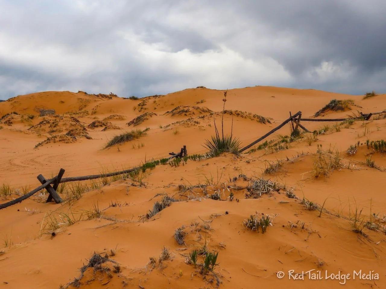
The nature trail is only about half a mile or so long, but it is a little hard to follow. Being across moving sand, there is no trail. You just have to look for the next sign. But even that is a little tricky, as several of the signs were lying on the sand, again, due to the shifting dunes. From the best that Ann could tell, the trail is a big loop, following close to the fence line that marks off the area surrounding the viewing platform. She thinks that she found all the informational signs, but she’ll never know for sure.
Ann did learn that kangaroo rats are nocturnal. So her chances of seeing one were pretty slim. But she still swears that is what she saw hopping away into the bushes at the dump station on Wednesday morning.

Later that evening, the rains returned. This time it rained harder. We fell asleep listening to the patter of rain drops on the roof of Red Tail.
We’ve been close to Coral Pink Sand Dunes State Park in the past, but didn’t even know it was there. It is a rather unique and a fun place to explore. And it is a beautiful drive to get there, no matter which roads you take.
Check out our related video: Coral Pink Sand Dunes State Park, Utah
(Ann)