Turnagain Arm, Alaska - July 5th to 6th, 2022
Turnagain Arm is an inlet just south of Anchorage, one of two “arms” of Cook’s Inlet. Most people probably just drive the highway along side it, but we stopped and camped for two nights. It was an area definitely worth exploring.
Tuesday we did not move far, from Golden Nugget RV Park inside Anchorage, to Bird Creek Campground in Chagach State Park just south of Anchorage on Turnagain Arm. It was a warm day, but the smoky haze had returned. Alaska Highway 1, otherwise known as Seward Highway in this section, runs right along the shore of Turnagain Arm, right next to the railroad tracks. The mountains rise up on the other side of the highway.
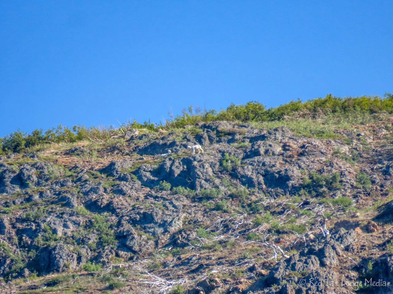
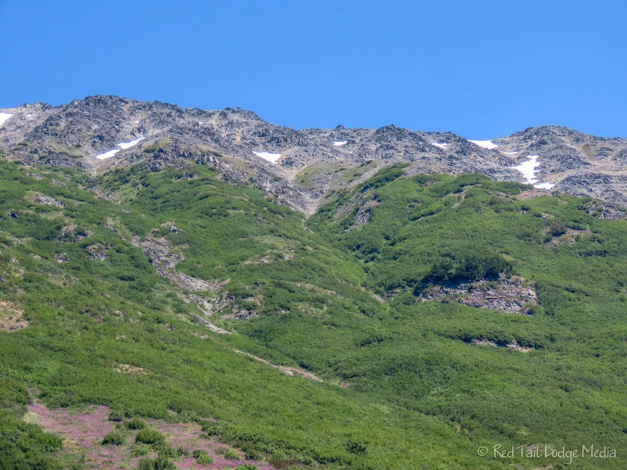
We stopped at Beluga Point to take in the view. Beluga whales are normally in Turnagain Arm from mid July through August. We were a week too early to see them. However, at the viewpoint, we saw someone with a scope looking up at the mountain cliffs. He was kind enough to show us what he was looking at, a couple of Dall sheep high up on the cliffs. They were too far away to see with the naked eye, but they were visible in Keith’s binoculars. Ann managed to take a picture of them with her super zoom camera (Canon Powershot - paid link), but not a great picture.
Bird Creek Campground is first come/first serve. We arrived before noon and had our pick of several open camp sites. We’re not sure what time the campground filled up, but it was full by evening. It felt good to get out of an RV park inside the city and get back into a state park campground. It is so much more peaceful and closer to nature. We thought we would be back in mosquito country, but all we noticed was some pesky flies in the evening.
After getting set up and eating our lunch, we went on a walk/hike. The Bird to Gird bike path runs right next to the campground. The paved trail extends 12 miles from Indian to Girdwood. From the campground, Bird Point is about 5.5 miles away. So that was our goal.
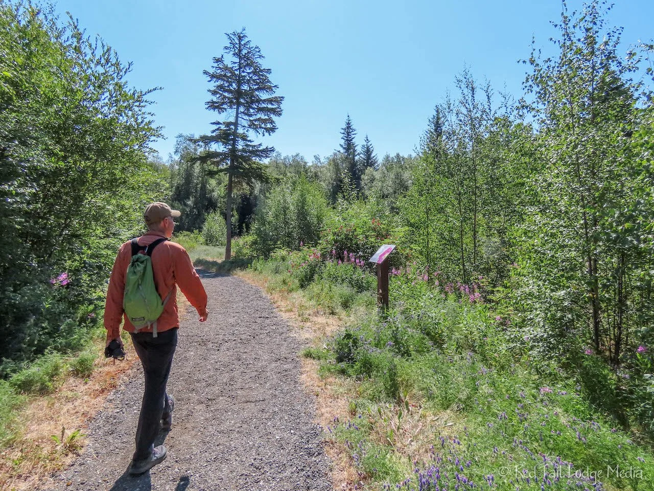
The walk was easy but long. The path started out in the woods with not many views out to the water. A couple of small streams passed under the trail. You could hear them better than you could see them. We were hoping for better views. But be careful what you wish for. It wasn’t long before the view opened up, exposing us to the hot sun and the loud traffic noise of the highway.
The trail crosses under the highway, sandwiched in between the mountains and the highway for a couple of miles. We kept scanning the cliffs for mored Dall sheep, but didn’t see any. Wildflowers, in a variety of colors, lined the trail. A tall waterfall was clearly visible from the pathway.
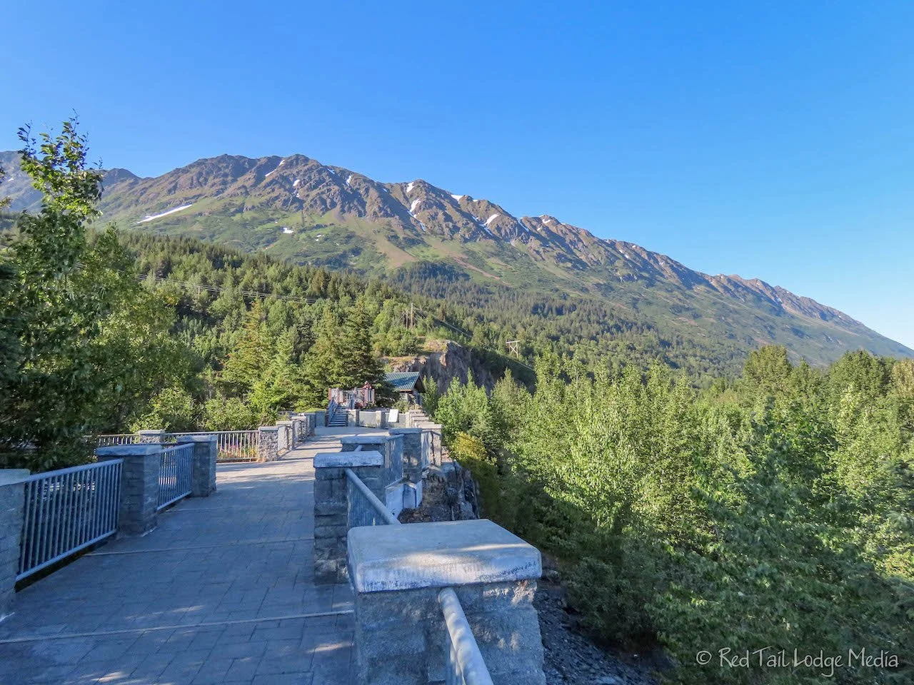
We saw the road entrance to Bird Point and took a small path over to cross the highway. The highway was fairly busy, so crossing it felt a little bit like playing Frogger. After we reached the Bird Point parking lot, we discovered that there was a tunnel under the highway for the bike path, we just needed to continue a little further down the trail.
After resting our feet on a park bench for a little while and checking out the view and the restrooms, we started our long walk back to the campground. This time we used the tunnel to get under the highway. It adds a little distance to the walk, but it was worth it to not dodge cars on the highway.
We did not bring enough water with us. The one liter per person was gone before we got back. When we reached the campground, we had gone 11.8 miles with an elevation gain of 856 feet in four hours and 21 minutes. It was hike number 23 of our 52 Hike Challenge for 2022. Would we recommend this hike? Probably not. However, biking the Gird to Bird Trail would be a lovely ride. There were not that many people on the trail, at least the day we were there. The holiday the day before might have been a different story.
After dinner, we went back to Bird Point, driving this time, to watch the bore tide. Turnagain Arm is narrow and shallow. At low tide, it is mostly mud flats. Cook Inlet’s tide can be 35 feet or more. The combination of those two creates a regularly occurring bore tide. The bore tide is a long continuous wave that stretches across the width of Turnagain Arm as it heads to the end at Girdwood. The bore tide reaches Bird Point about two hours and 15 minutes after Anchorage reaches low tide. For the day we were there, that meant it would pass by Bird Point at 8:51 pm.
We arrived at Bird Point with almost an hour to wait. We paid our $5 parking fee, since we would be there longer than the 30 minute grace period. Bird Point is part of Chugach State Park. We set up our camp chairs with our water bottles in hand and waited. No one else was there waiting with us. Other people would come, look at the view, and leave. The bore tide showed up right on time. However, it was rather underwhelming. The Turnagain Arm bore tide wave can be from 6 inches to 6 feet tall. We believe we witnessed the 6 inch version. A larger bore tide was expected about a week later. Oh well, you win some, you lose some.
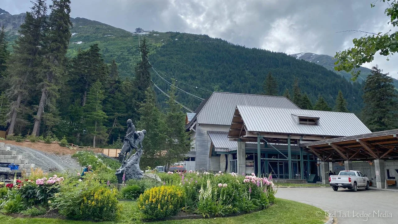
Wednesday we drove over to Alyeska Resort near Girdwood for a hike. Alyeska is a ski resort in the winter. The Northside Trail goes from the bottom of the aerial tram to the top. We stopped and asked the person at the tram ticket window how late the tram runs. The last one down was going to be 7 pm that day. And yes, if you hike up to the top, you can ride the tram back down for free. However, they are thinking of changing that policy in the near future and start charging for riding the tram down. Currently, there is only a charge for taking the tram up.
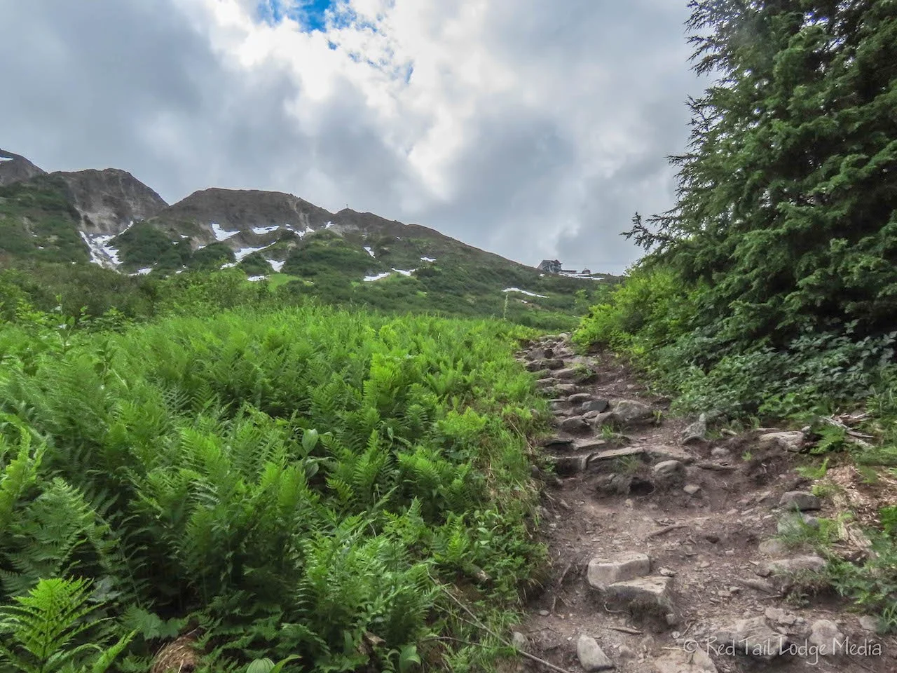
The Northside Trail is a short but steep trail, 2.1 miles with an elevation gain of over 2000 feet, from the bottom to the top. It is listed as Mount Alyeska in AllTrails. It starts out behind the hotel and tram station on a dirt road. After about a quarter of a mile or so, it turns into a narrow hiking trail. Most of the trail is out in the open, with wonderful views in every direction. It passes under the tram a couple of times so you can get a good view of the tram cars going overhead. Wildflowers in a variety of colors covered the mountainside.
The trail is rough, but not very technical, as there are not any scrambles with only a few sections with high steps. There are a couple of stream crossings, but, at least when we were there, they are easy to cross without getting your feet wet. One had a footbridge, although the center of it dipped below the water. Another crossing had stepping stones to get across.
About a mile and a half into the hike, the flies started to swarm us. They were not bad as long as we kept moving. They were just annoying when we stopped for a drink or to take pictures. We had our head nets and bug spray with us, but the flies were not bad enough for us to bother getting the protection out of our packs.
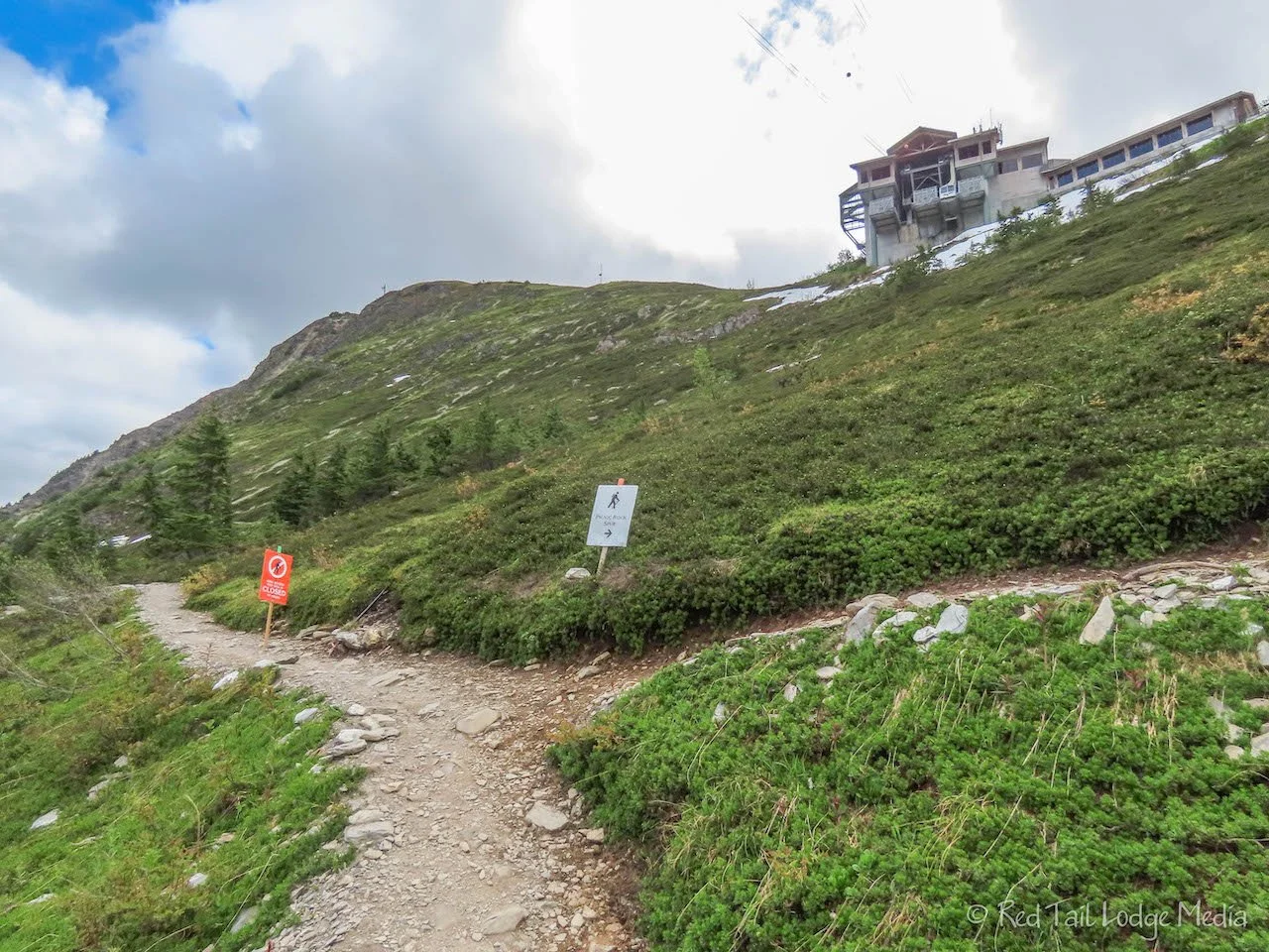
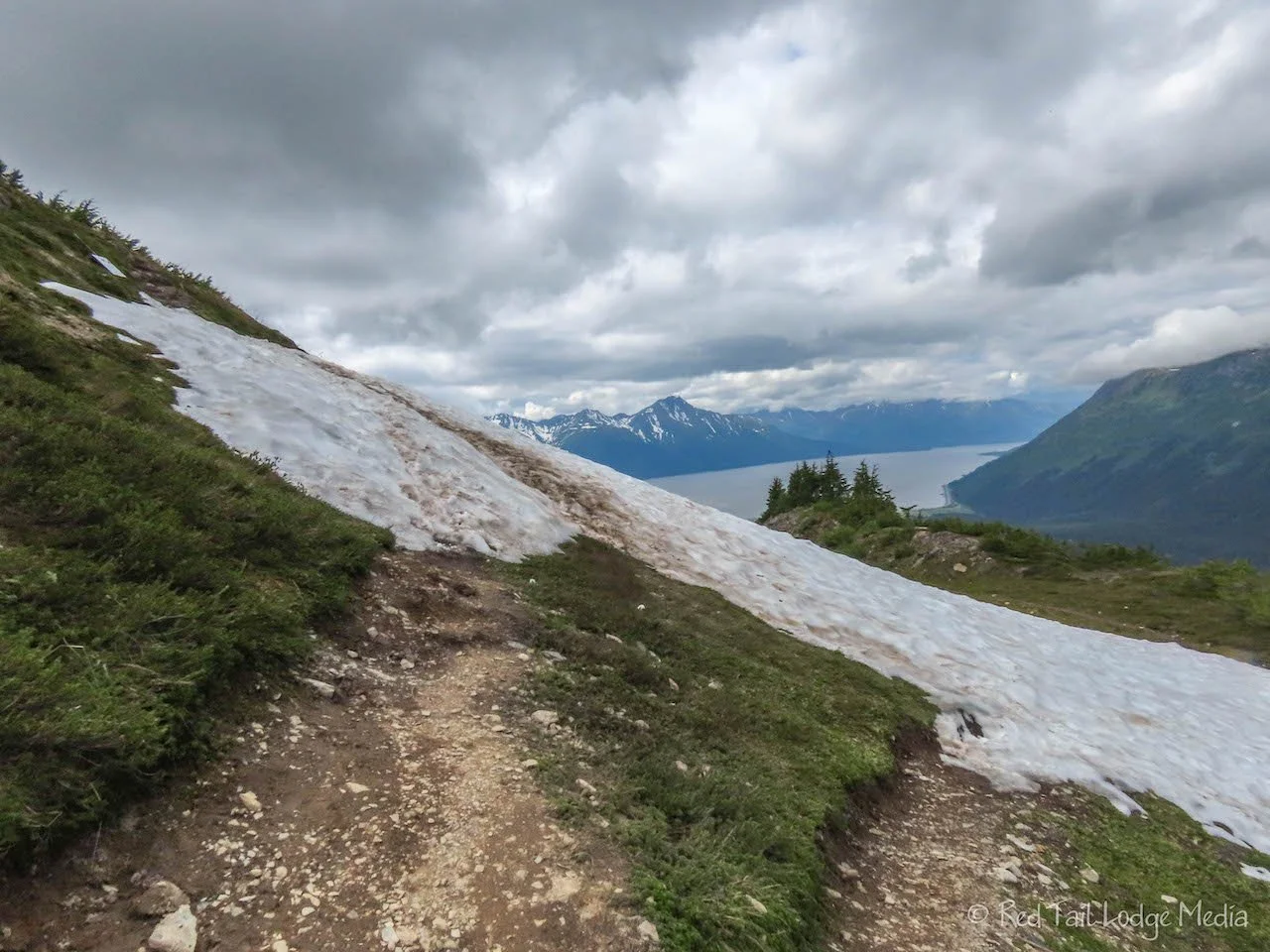
There were patches of snow near the top. Just before reaching the top, there was a sign indicating Northside Trail was closed, right at the junction with the Picnic Rock Spur. We followed directions and took the spur. We’re glad we did. From Picnic Rock Spur, there were nice views of Turnagain Arm, different from the views from Northside Trail. There were a couple of patches of snow across the spur trail, but not as bad as on the remainder of Northside Trail, which is why it was closed. We had our YakTrax (paid link) with us, but the snow patches were short and slushy, so extra traction was not needed.
The route up the mountain for us was 2.3 miles with an elevation gain of 2014 feet which we completed in one hour and 50 minutes. It was hike number 24 of our 52 Hike Challenge for 2022.
Having walked close to 12 miles the day before and being a little dehydrated, our energy levels were rather low on our hike up Mount Alyeska. Since the hike was so short, we did not stop to eat any snacks along the way. By the time we reached the top, our blood sugar was rather low and we were ready to consume some calories. Having lunch at the Bore Tide Deli & Bar at the top tram station sounded perfect. Ann enjoyed her reuben with fries. Keith thought his fish sandwich was just OK. However, both our meals gave us the energy we needed, plus the view from our table was hard to beat.
After taking in the views, we hopped on the tram for the descent. Hiking up instead of down a steep trail is so much easier on our hips and knees. We enjoyed this hike more than the Sea to Summit Trail to the top of the Sea to Sky Gondola in Squamish a month or so earlier (Squamish, British Columbia - May 27th to 28th, 2022). Alyeska was less challenging, which allowed us to take in the wonderful views instead of concentrating on where we were placing our hands and feet. There were also more views along the trail, since it was more open.
The Alyeska Aerial Tram is a little different than many other gondolas we have been on. Instead of tram cars that ride a circular cable, the Alyeska Tram is just two large cars that stay on their respective sides all the time. As one goes up, the other comes down, Then the motion of the cable reverses directions for the next trip. They allow dogs on the tram, but they are placed in kennels during the five minute trip up or down the mountain. A dog went down with us in our car, but he didn’t seem very happy about going into a kennel.
On the way back out of town, we stopped at The Ice Cream Shop in Girdwood. Ann read a Google Map review and saw someone mention Fireweed ice cream. Fireweed is a purple flower that is prolific in Alaska. She was so excited to try it. However, they did not have that flavor the day we were there. Most of the flavors at the Ice Cream Shop were from Cascade Glacier Ice Cream, which is from Oregon. They had Huckleberry Heaven, so that is what Ann had. She loves huckleberry. She’ll have to find another shop that sells fireweed ice cream before we leave Alaska. Keith had his usual vanilla shake.
We spent the rest of what was left of the afternoon hanging out at the campground. For dinner, our plan was to go over to Turnagain Arm Pit, a BBQ restaurant, just a couple of miles down the highway from the campground. We liked the name of the place and wanted to check it out. However, when we got there, it was closed. The sign said it was open for the 4th of July, then closed on Tuesday and Wednesday, we’re assuming for their holiday off. Of course it was Wednesday. Since we were planning to eat out, we drove back to Girdwood to the Girdwood Brewing Company.
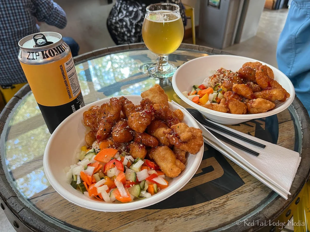
Girdwood Brewing Company doesn’t actually serve food, but there are a couple of food trucks behind the brewery. The one truck that was open that night, called Izakaya, was serving Japanese fare. The schedule for the different food trucks is listed on the brewery’s website. We both had the fried chicken rice bowls that came with mixed vegetables. They were delicious!
For drinks, Keith ordered the “Down the Chute”, a Kölsch, which he thoroughly enjoyed. The only non-alcoholic beverage they had that night was kombucha, so that’s what Ann drank. She tried the ginger flavor. The kombucha is from Zip Kombucha out of Anchorage. The ginger flavor is called Ginger Rogers. Ann never tried kombucha before and found it rather tasty. Kombucha is a fermented tea that can be either alcoholic or non-alcoholic, depending on how it is made.
We both liked the atmosphere at Girdwood Brewing Company. It is a friendly, laid-back place, with a simple, no-frills decor. The brewery seemed like a regular hang out for the locals, at least the night we were there.
Over the two days we were there, we felt like we got a good taste of the area. We enjoyed good food and good scenery while getting in some exercise and fresh air. Now it was time to move on and check out Kenai Peninsula.
Check out our related video: Turnagain Arm, Alaska
(Ann)


