Shades State Park, Indiana - April 6th to 7th, 2022
Sometimes hardship adds to the enjoyment of an experience. The harder something is to complete, the sweeter the goal is when you reach it. Although hurdles may pop up, we don’t let them stop us.
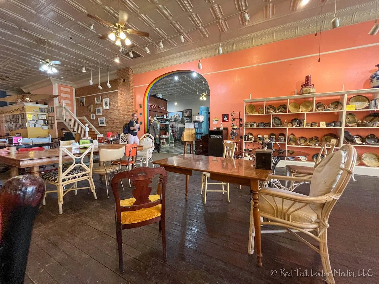
Wednesday was a driving day, from Indian Creek Recreation Area in Missouri to Shades State Park in Indiana. We got up early so we could have breakfast in Hannibal, Missouri. Reservations for Liard Hot Springs Provincial Park opened up at 9 am Central Time for the dates we wanted, so we planned on getting to Hannibal well ahead of time to find a good internet connection. All went pretty smoothly. The Java Jive is a lively place on Main Street. Ann ordered a chai and Keith had a coffee. We each ate a raspberry cream cheese croissant. Delicious! Java Jive also has free Wifi, so we had no trouble making our campground reservations.
After breakfast, we strolled up and down Main Street. We’ve been to Hannibal several times before, but Main Street seems to get prettier each time we visit. The town has a special place in our hearts because this is where we came up with the name Backroad Buddies. A few years ago, we were spending the night in the Main Street Bed & Breakfast, dreaming about what we would do when we retired. Writing a blog about traveling the backroads sounded like a wonderful idea. Hundreds of possible names were tossed around until we landed on Backroad Buddies. Ann likes alliterations.
As we were approaching Shades State Park from the north on US 41, Google Maps wanted us to turn east on route 234. However, there was a detour sign which told us to follow the detour to reach Shades State Park. The detour took us further down US 41 to route 47, past Turkey Run State Park, all the way over to route 234 on the other side of Shades State Park. The whole time Google was trying to get us to turn off the detour, but we ignored those instructions. It seemed like the detour took forever. It didn’t help that we found ourselves stuck behind some Amish horse and buggies on route 47. However, we didn’t mind. If we hadn’t taken the detour, we might not have seen the horse and buggies.
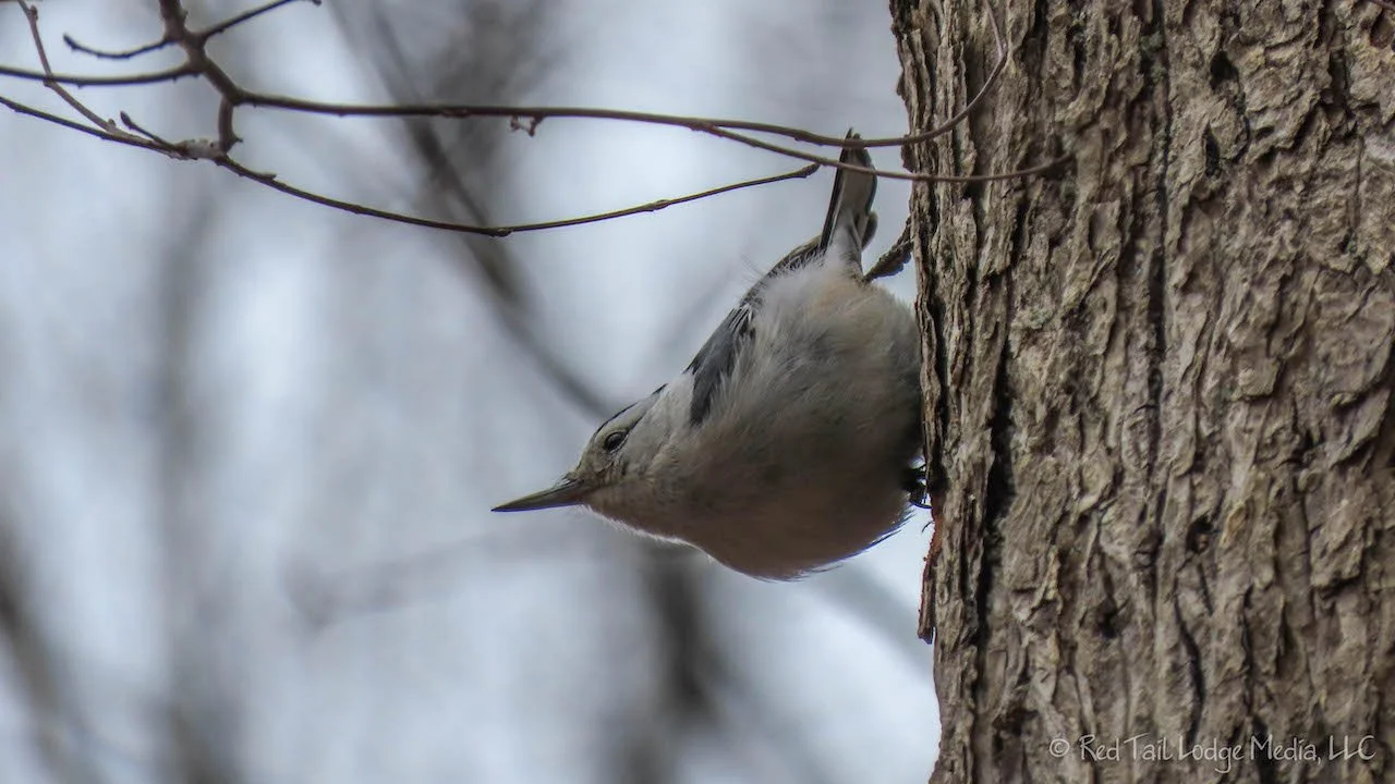
We were the only ones in the Shades State Park campground. It looked like they were not quite ready to start the camping season. Most of the fresh water taps were still turned off. There was one frost-free tap that was on, but the water was pretty brown. One of the bath houses was open. Amazingly, the water was on in the bath house, complete with flush toilets and showers. However, it looked like it had not been cleaned since the previous summer season. It also looked like the park had done some clearing out of trees and there was debris littered around, like sawdust and small tree branches. Our camp site had a pile of wood chips and deep ruts in the mud from a service vehicle. Somehow, we still found the campground pleasant, with the sound of birds and frogs. It would be nice to come back in the summer to see what it is like during prime season.
We chatted with the park ranger when he came around to check us in. He told us the bridge on route 234 is being worked on and yes, the detour is quite long. One of his coworkers lives on the other side of the bridge and uses two vehicles to get to work and back home. The bridge on 234 is next to an old covered bridge that the coworker can walk across. So he leaves his personal vehicle on the one side of the bridge in the morning, then gets in the company truck he left parked on the other side of the bridge to finish his commute to work. In the evening, he does the same, but in reverse. The ranger also told us they had some snow the week before and were expecting snow again in a few days. He also let us know where the frost-free tap was. A very friendly ranger.
Hiking was on the agenda for Thursday. Ann found what looked like a nice route which covered most of the trails within the park, the 6 Ravine Challenge. According to AllTrails, it was 4.7 miles with an elevation gain of 675 feet. However, we would be starting from the campground, which would make the hike a little longer. It still looked like a pleasant route. The first inkling of what we were getting into was that the description of the route said it was generally considered a challenging route. We thought maybe that was just because people in Indiana are not used to much elevation gain when hiking, so 675 feet was challenging for them.
From the campground, we took the Backpack Trail over to Trail 8. We somehow missed the first turn off for Trail 8, so we were headed the other way down Trail 8 than we originally planned. The trail didn’t go far before dead-ending into Trail 7. We took Trail 7 down Kickapoo Ravine, the first of the six ravines we would hike down. The trail, if you could call it a trail at this point, followed the bottom of the ravine. It quickly became an obstacle course over tree trunks and boulders, requiring us to navigate our own routes through the mud and criss-crossing the small stream. Oh, this is what they mean by challenging!
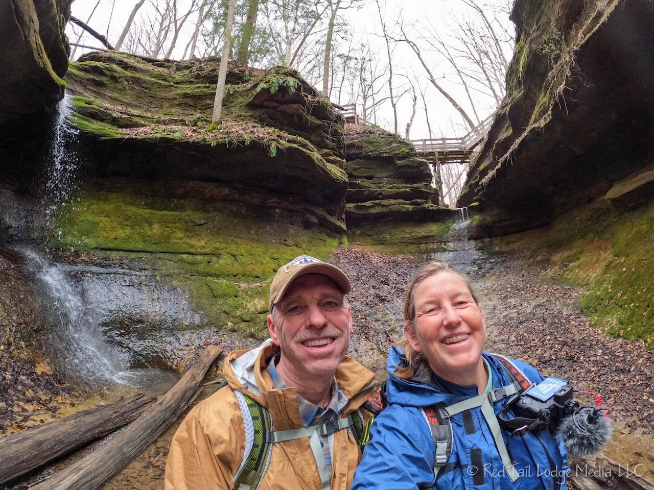
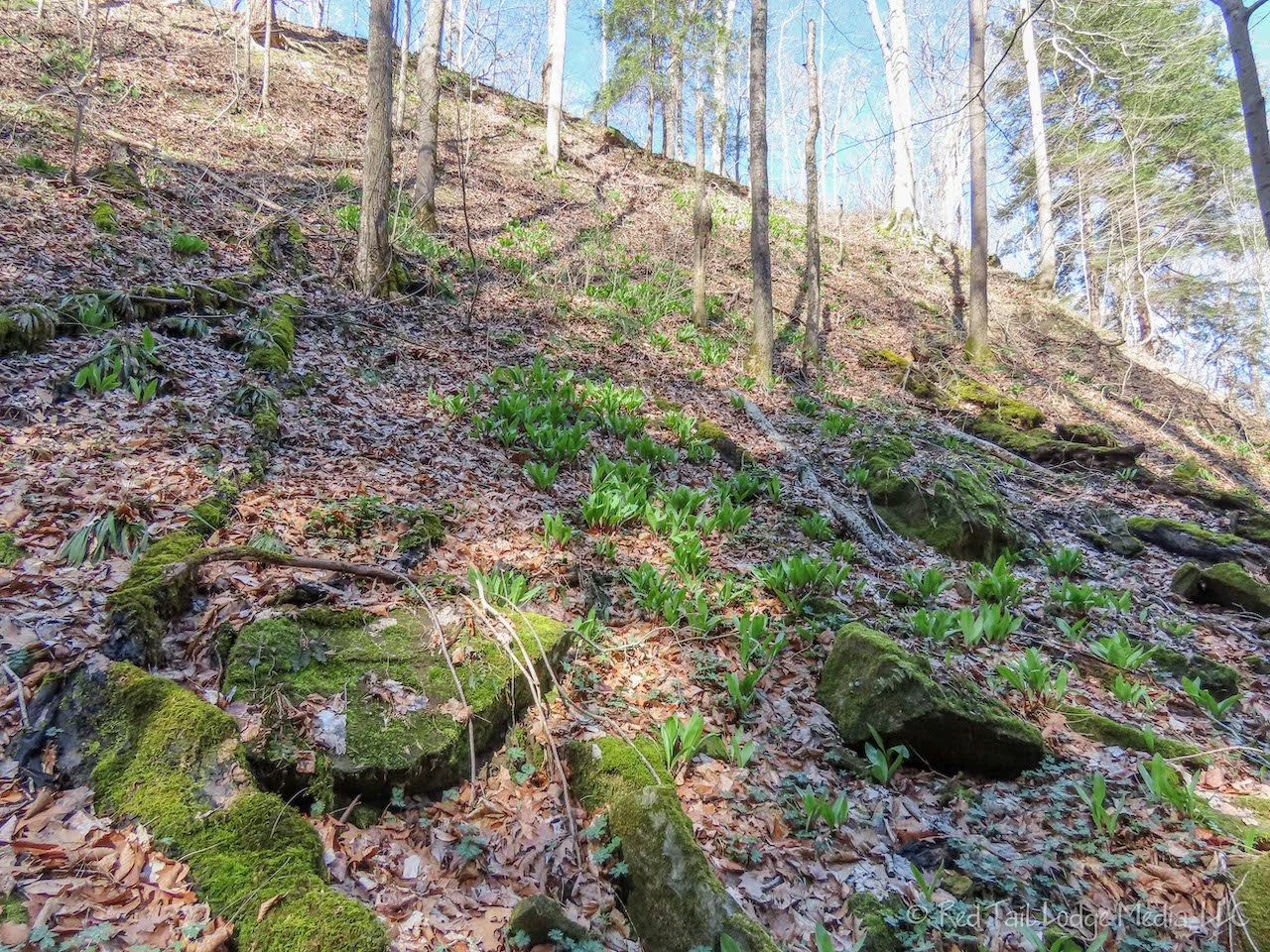
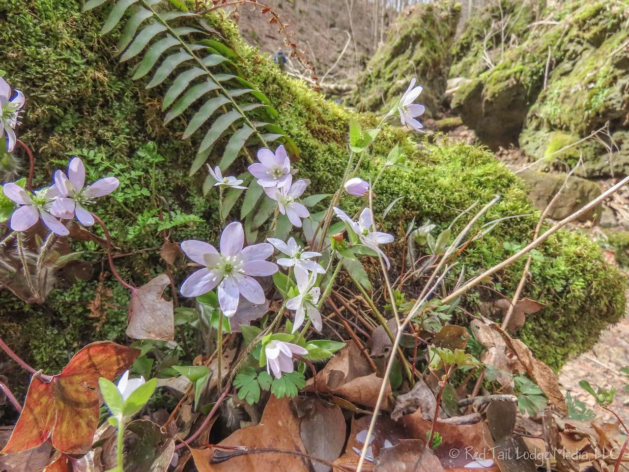
The ravine was beautiful. Moss covered trees and rocks were glowing in the sun which popped out from behind the clouds every now and then. Small flowers and green plant shoots were coming alive. The small stream created a peaceful trickling sound as it cascaded over rocks to create mini waterfalls. We were really enjoying ourselves.
When we reached the end of the ravine, where it empties into Sugar Creek, Ann made a fateful step onto a rock she shouldn’t have. The rock was slightly beneath the surface of the water and she didn’t realize it was covered with a slick slime. Her feet slid out from under her and she fell hard onto the boulders. She sat there in the water for a few moments taking inventory. Her elbow hurt along with her lower back and butt. OK, she doesn’t think she broke anything, except for maybe her tailbone. Her backpack probably saved her back and kept her from cracking her head open on a boulder. She carefully got back up and immediately felt faint. “Just let me stand here for a moment” she told Keith. When she felt a little better, we headed over to the rocky beech of Sugar Creek and sat down. Ann decided to sit there a while, eat a snack and drink some water to see if she could recover. The rest, food, and water helped. Ann was a trooper and we continued our hike.
From Trail 7 we picked up Trail 8 again, this time heading up Shawnee Canyon, the second of the six ravines. It was just as beautiful and challenging as Kickapoo Ravine. Our pace had slowed down a little, partly due to us being more cautious about where we placed our feet and partly because Ann was still in pain. It especially hurt to lift her legs high, such as to straddle over a fallen tree trunk or go up or down a steep step. Despite the discomfort, Ann was still having fun.
After Shawnee Canyon, we had some easy hiking to get over to Devil’s Punch Bowl. Devil’s Punch Bowl is where two ravines join each other, with a waterfall in each. First we viewed the Punch Bowl from above. Then after we followed Red Fox Ravine and went by the pond, we circled back around and took the stairs down to the bottom of Devil’s Punch Bowl, where we had a much better view of the two waterfalls.
From Devil’s Punch Bowl, we hiked along the bottom of a ravine dowstream to Silver Cascade Falls. At the falls are wooden stairs that lead you out of the ravine. However, there was a small section the stairs that was damaged by a fallen tree, so the whole stair structure was closed. We didn’t want to go back up the ravine the way we came to get out, but we also didn’t want to defy the sign and have the stairs collapse on us. The side of the ravine was pretty steep, but it was soft dirt. We decided to climb up the ravine wall alongside the stair structure, so we could grab onto the structure for support. It was a little bit of a struggle, but we made it to the top. It was probably not what the park service wanted us to do. A sign indicating the stairs were closed back where you entered the ravine would have been nice. Apparently, other people had used the stairs despite the signs as the yellow tape that once spanned across the stairs was broken, both at the top and the bottom of the stairs.
At Prospect Point, we stopped at the small two-person bench to have another snack. We had completed four of the six ravines, so we only had two more to go. The remaining two, Trails 4 and 5, had a few wooden ladders in the Kintz Ravine and Frisz Ravine to add a little more interest. These ravines were a little narrower and easier to navigate, but still fun and pleasant. In fact, the hardest two ravines to hike were the first two along Trails 7 and 8.
We didn’t threaten any speed records completing the 7.6 miles of 889 feet in elevation gain in five hours and 27 minutes. The hike was number six of our 52 Hike Challenge for 2022.
By the time we went to bed, Ann was still in pain. Her elbow was starting to turn colors and there was a ten inch diameter area in the small of her back on the right side that was swollen. In addition, she still believes she broke her tailbone. A couple of Tylenol allowed her to sleep that night. Luckily, the plans for the next week were visiting relatives in Ohio, no hiking involved. Hopefully her injuries will heal during that time so we can enjoy all the adventures we have planned.
Life is not without risk. If we try to avoid all risks, we stop enjoying life. Ann’s injuries were not fun, but she didn’t let them stop her from enjoying herself. Everyone has their own risk level that they are willing to take. Ann plans to keep on hiking, even scrambling through ravines again. Although, she may be a little more careful about which rocks she places her feet on.
Check out our related video: Shades State Park, Indiana
(Ann)

