Oregon Dunes, Oregon - August 4th to 7th, 2024
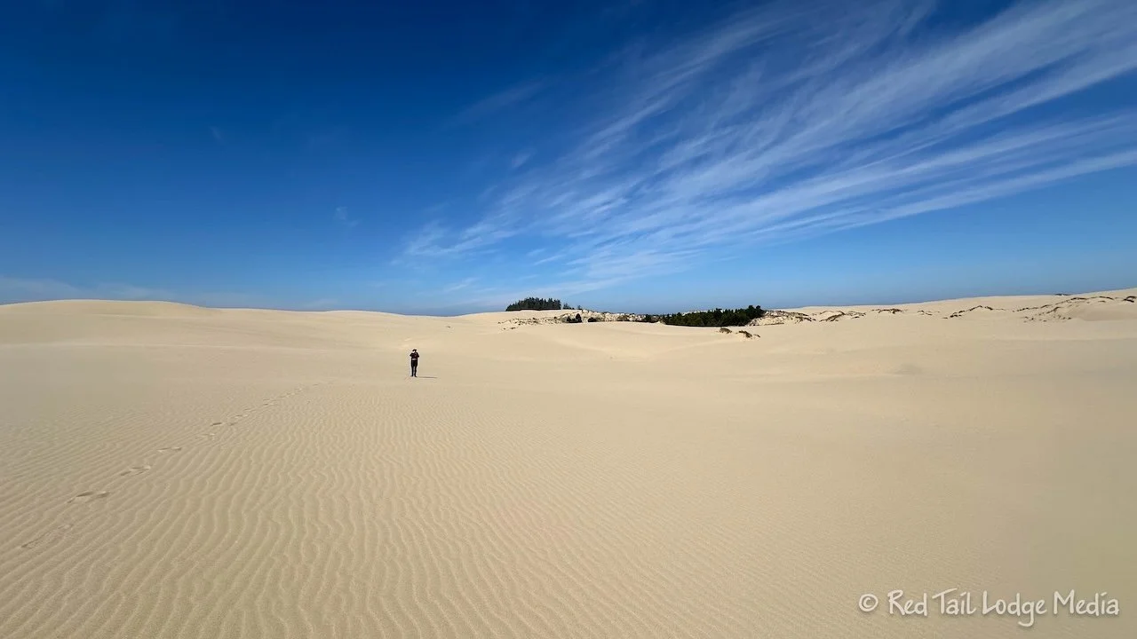
When we were kids, we thought sand dunes were just large expanses of sand. As we visited various sand dunes over the years, we learned that sand dunes are complex ecosystems with a large variety of plants and animals. So we enjoyed discovering what the Oregon Dunes National Recreation Area had to offer.
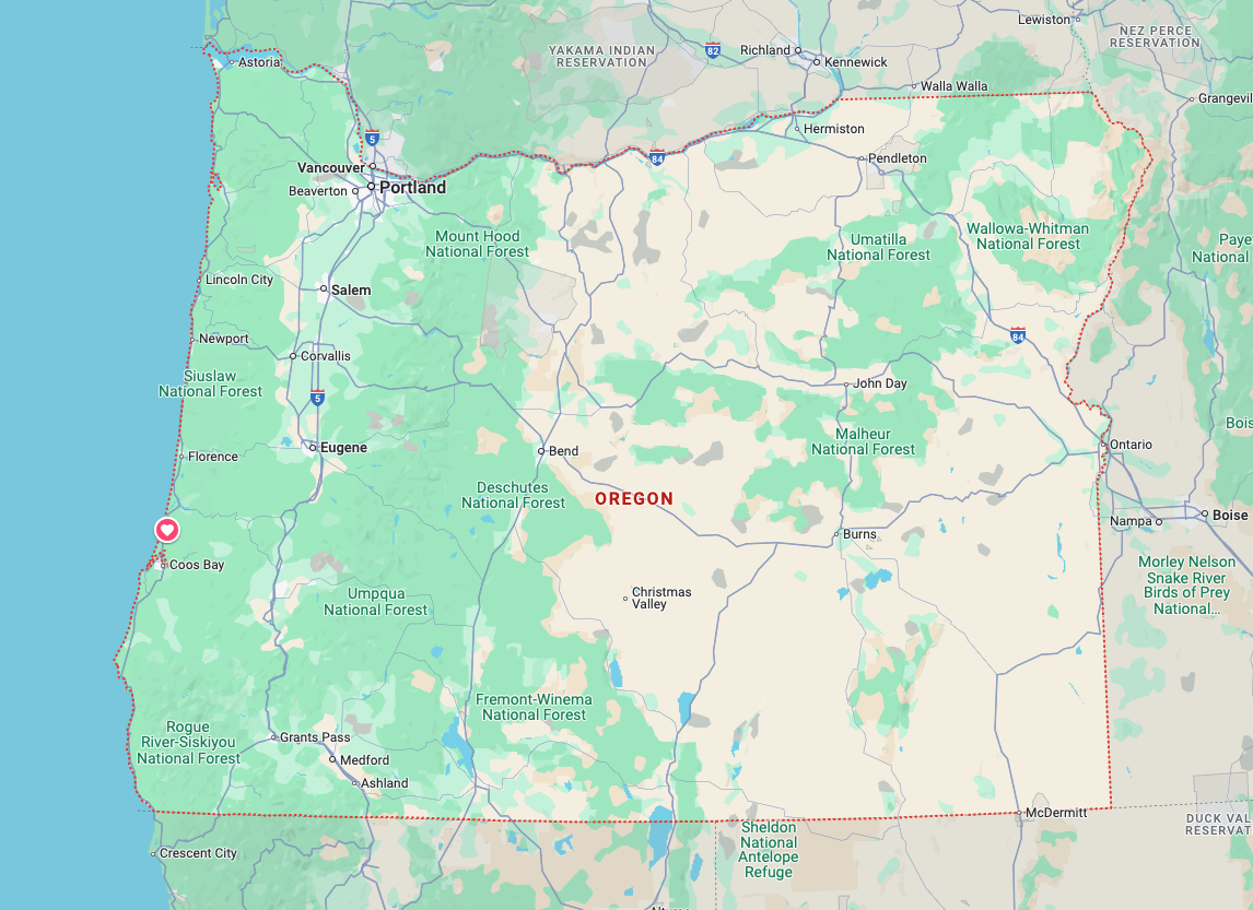
Sunday was a short drive from South Beach State Park to Eel Creek Campground in Oregon Dunes National Recreation Area. We made a few stops along the way.
We took our time leaving South Beach. Since we had water and electric hook ups at South Beach, we filled our water before pulling out of our site. We didn’t really need hook ups, but had them in case we needed to run our AC. It was August, but the high temperatures were only in the 60’s. We plugged in the first day we were there, just to give our batteries a fresh start. We dumped our tanks on the way out of the campground. Being a Sunday at a large campground, there was a line for the single dump station. That gave Ann plenty of time to run our trash and recyclables over to the dumpsters while we waited.
Besides a couple of overlooks, we made two major stops along the coast during our short drive. The first stop was Cape Perpetua Scenic Area, managed by the National Forest Service. There are several pull outs along highway 101 in the area, but we opted to pull into the parking lot at the visitor center. We find that easier to maneuver and park Red Tail (our Winnebago EKKO). We recommend the visitor center over the pull outs so you can pick up a trail map and see if you are interested in any of the ranger programs being offered that day. We chose to hike on our own from the visitor center.
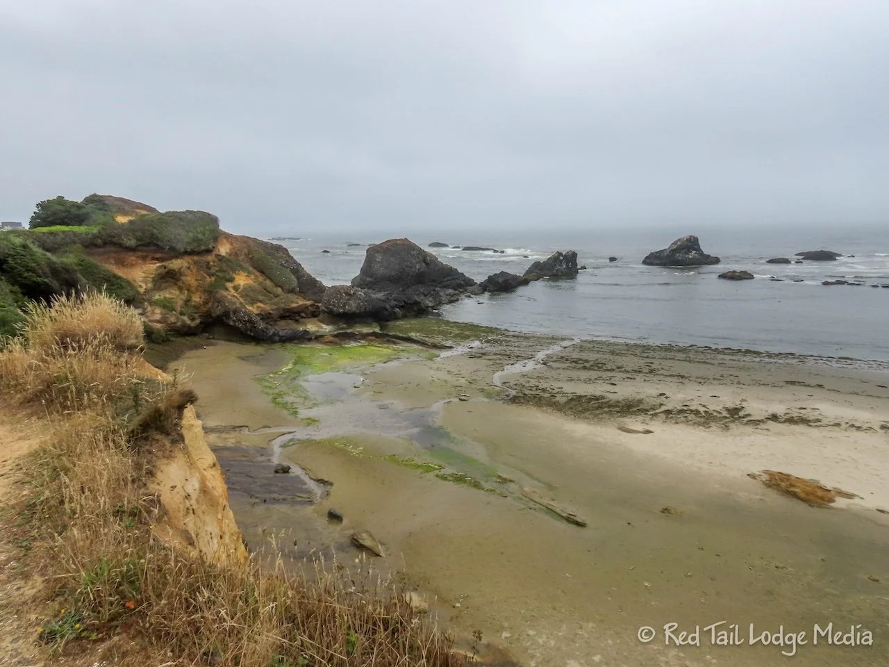
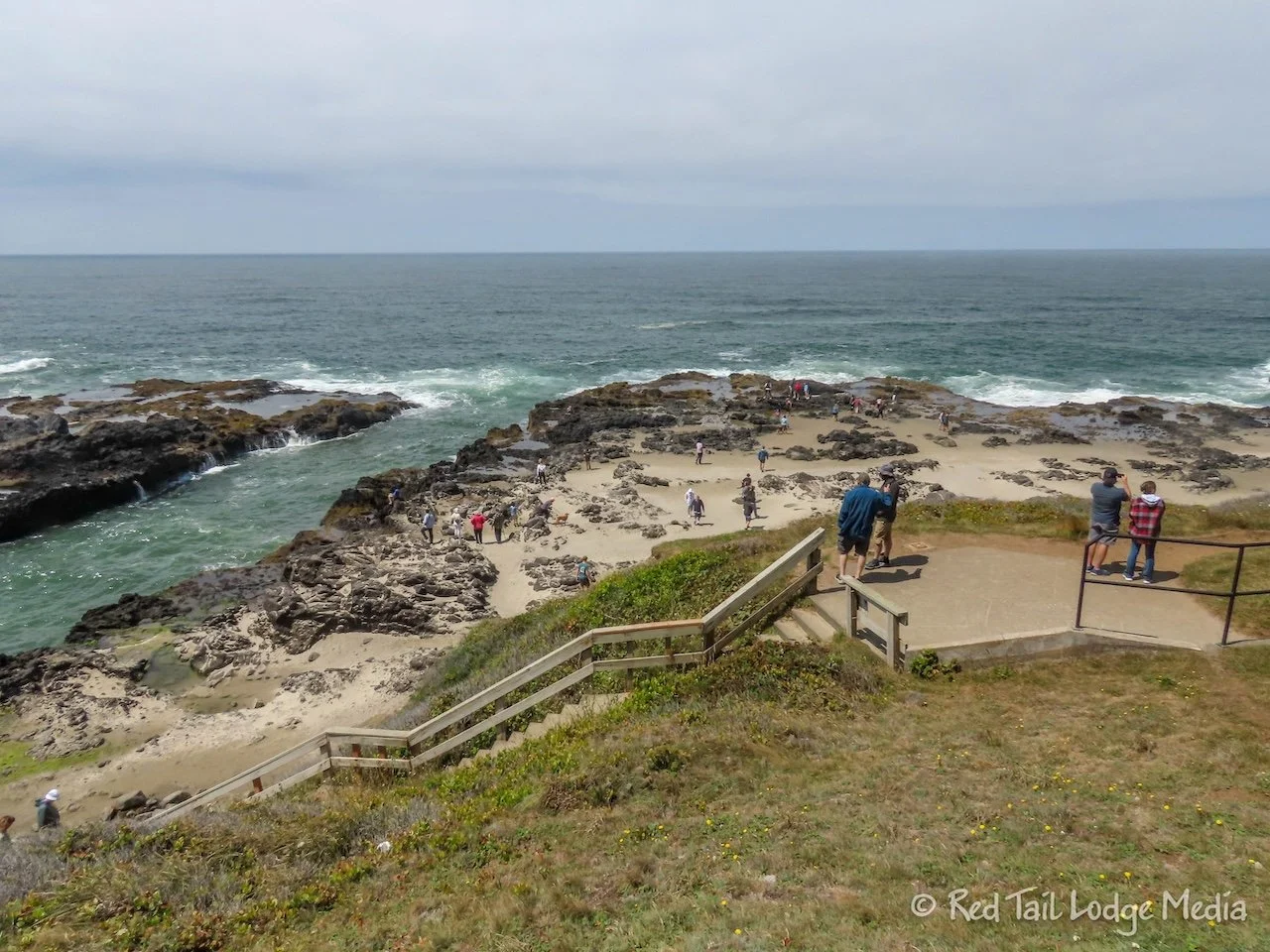
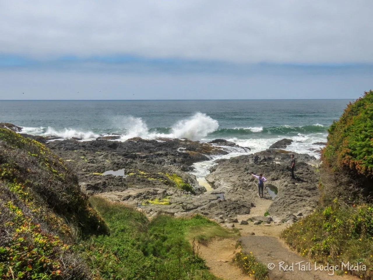
The highlights from our two mile hike were Devil’s Churn, Thor’s Well, and Spouting Horn. If you don’t have much time, just do Thor’s Well and Spouting Horn as they are right next to each other. For those features, be sure to arrive during high tide. You can look up the tide charts online. If you happen to be there during low tide, you can still enjoy the tide pools. The rocky shoreline is beautiful all by itself, even not including the spectacular features.
We timed our visit for high tide, eating lunch first in the parking lot before starting our hike. Since it was high tide, we skipped the tide pools. There are tide pools just north of Thor’s Well and probably at Cape Cove Beach as well. In total, we covered 2.3 miles with an elevation gain of 328 feet in just over an hour, including all the time Ann stopped to take pictures.
Our second major stop was the Sea Lion Caves. There is an elevator down to the world’s largest sea cave, where sea lions like to hang out. It is privately owned and there is an admission fee to enter. Is it touristy? Yes. Is it worth the money? We thought so. There is a free overlook just north of the Sea Lion Caves where you have a great view of the Hecta Lighthouse and a view of some of the sea lions hanging out on the rocks below, near the caves.
However, it is pretty cool to go inside the cave. The elevator takes you to just part of the cave with a fenced off overlook into the rest of the cave where you can see the sea lions and birds nesting inside the cave. There are also viewpoints on the property, outside the cave, where you can see more sea lions, birds, and a view of the lighthouse. Our main complaint about the place is the parking. Although there seems to be plenty of room to park, most of it is on the other side of the highway. That means families are darting across the highway with their kids, right at a bend in the highway, where visibility is pretty poor. We would be concerned crossing the highway with small children.
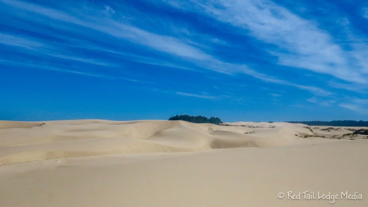
From there, we headed straight to Eel Creek Campground. Just south of the Sea Lion Caves, the landscape abruptly changes from a rocky shoreline to expansive dunes. The Oregon Dunes National Recreation Area is 40 miles long, one of the largest expanses of temperate coastal sand dunes in the world.
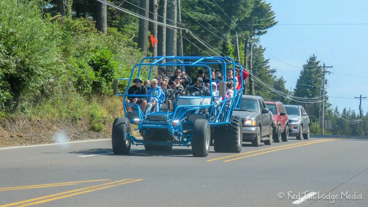
Monday we drove back up to Reedsport to the Oregon Dunes National Forest office. The friendly staff there provided us with a hiking map and advice on some of the hikes. They also recommended going to the Umpqua Beach area for good views of the OHV’s on the dunes and access to the beach. Another recommendation was to take a giant dune buggy tour with a company such as Sandland. We decided to pass on the tour, as we generally don’t appreciate loud and fast. We would rather hike through the dunes.
After grabbing a few items from the grocery store in town, we stopped at the Umpqua Lighthouse for a tour. Now that’s a tour we really enjoyed. The lighthouse is owned and operated by the U.S. Coast Guard, but it is inside Umpqua Lighthouse State Park. We had a half hour wait until our tour started, which was plenty of time to check out the small museum, which was included with the price of the tour. The museum was about the lighthouse and about the U.S. Coast Guard stationed there. Our tour guide was very knowledgeable and interesting. We were allowed to climb up the short lighthouse tower and stick our heads inside the Fresnel lens. Very cool. It was well worth the $8 per person.
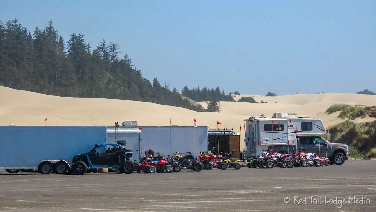
After a snack of a braided apple strudel and a peanut butter cookie from the gift shop, we continued down the road to Umpqua Beach. It didn’t take long before we got our fill of watching the OHV’s. Yes, they were loud, but the dunes are huge, so they spread out pretty quickly, out-of-sight and earshot.
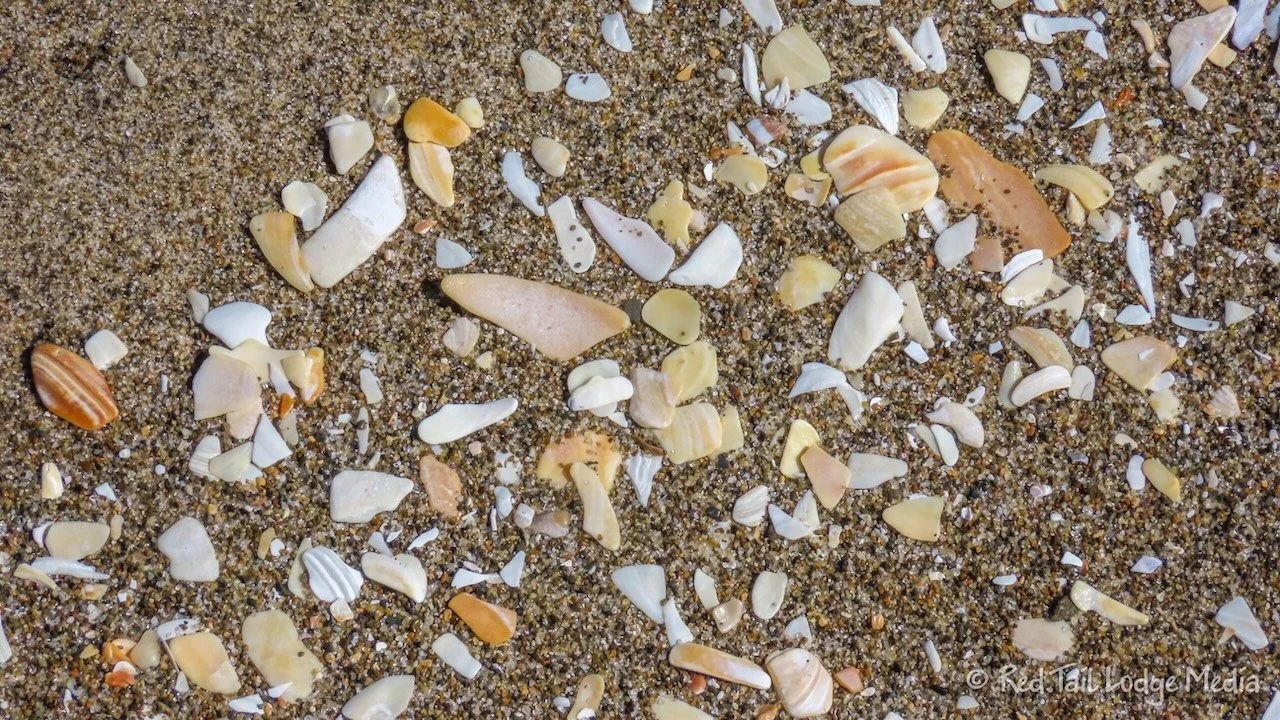
We walked south down the beach for about half a mile and back. The only shells on the beautiful sand were broken up into little bits. There was one area clearly marked as a Western Snowy Plover nesting area. We were already aware of the warnings to stay on the wet sand near the water when on the beach. The Western Snowy Plover is endangered and they like to lay their eggs in the soft sand along the beach in the Oregon Dunes. However, we didn’t see any signs of birds, nests, nor chicks. Perhaps it was a little too late in the year, as we were approaching the end of the nesting season.
In the evening, a neighboring camper stopped by Red Tail. He had several zucchini that he brought from home that they didn’t use during their stay. He knew there would be plenty of zucchini when he returned home, so he was trying to give them away. We took one, as we like to use them in egg scrambles. It was nice chatting with our fellow camper. He and his family are local, who like to come over to the dunes about once a month.
Tuesday we went for a hike in the dunes. We drove up to the Oregon Dunes Day Use Area, about half an hour north of the campground. The Oregon Dunes Loop Trail starts from the picnic area there. According to AllTrails and the info from the National Forest Service, the trail is a four mile loop.
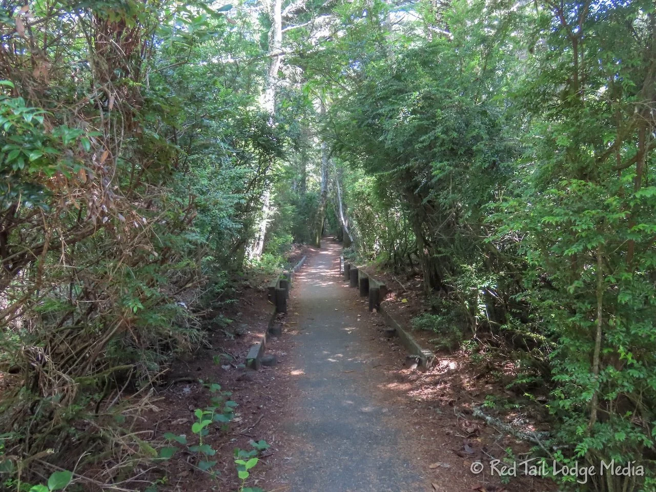
We arrived just before lunch time, so we decided to eat lunch before starting our hike. The trail starts out in the woods. The trail was a nice mixture of woods, open dunes, beach, and tall vegetation, so parts of it are protected from the sun and wind. It was a nice day, with temperatures in the 60’s, with not very strong winds.
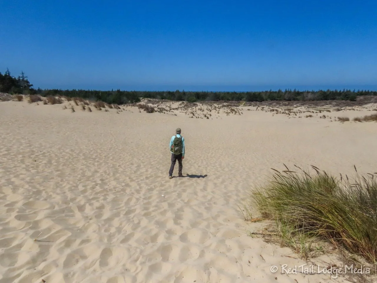
Since we were hiking in sand, we weren’t sure how long the hike would take us. We were prepared to be hiking for over four hours, taking two liters of water each along with some snacks. However, only about a third of the hike is in loose sand and the trail was never very steep. Most of the time the sand was hard packed. On the beach, we were required to walk on the wet sand because it was Western Snowy Plover nesting season. However, the wet sand is where you want to walk anyway, because it is much easier to walk on than the dry, loose sand.
It was about a mile from the trailhead to the beach. We reached the beach in about half an hour. Then we headed south along the beach for about a mile and a half. Unlike Umpqua Beach, we saw a lot of birds this time. They were all hanging out near the water’s edge, looking for food. Ann watched as one would tap the sand with their foot, then snatch something up with its beak. She’s not sure what the tapping was for. Perhaps it causes insects to rise up to the surface?
Along the trail, when we were next to vegetation, we would hear a popping sound. It sounded like it was coming from a plant with fuzzy, long seed pods which would sometimes have yellow flowers on it. Later, we identified it as possibly being gorse, an invasive species from Europe. The popping sound was from the seed pods, that split open and eject the seeds several feet away.
The trail then heads back through the dunes. Thankfully, the exit from the beach was clearly marked. However, we were glad we were using the AllTrails app to make sure we didn’t lose the trail. By the time we returned to the trailhead, we had gone not four miles, but 4.7 miles, with an elevation gain of 148 feet which we completed in two hours and 13 minutes. We counted it as hike number 42 of our 52 Hike Challenge for 2024.
We’re not sure why our mileage was so much longer than what was advertised for the trail. We didn’t deviate from the trail at all. However, even with the extra distance, it didn’t take us nearly as long as we thought it might. We only needed the one liter of water and didn’t touch our snacks.
For some reason, as we were packing up at the day use area, we did not do a good job of checking everything before driving off. Neither one of us did a walk around the rig. You should always do a walk around and perhaps check a list. We forgot we had cracked a couple of windows while we were parked at the trailhead. We could hear the wind coming in the windows as we started down the highway. There weren’t really any places to pull off the highway to close the windows until we reached Reedsport. We were lucky that we didn’t damage our windows.
We stopped at Reedsport and visited the old town district. The downtown area is only three or four blocks long along Fir Avenue, but it was cute. The street was lined with baskets of flowers hanging from the light poles. At the far end was the Sugar Shack Bakery. Of course, that’s where we headed. Keith got a slice of marionberry pie, a la mode, while Ann ate a cinnamon roll. They were both delicious. The bakery was doing a great business, with a constant stream of people coming in.
Wednesday we went on another hike across the dunes. This time we left right from our camp site. From our campground loop, there was a short trail that connected to the John Dellenback Trail. You would think that this would be very similar to the Oregon Dunes Loop Trail, but it seemed rather different.
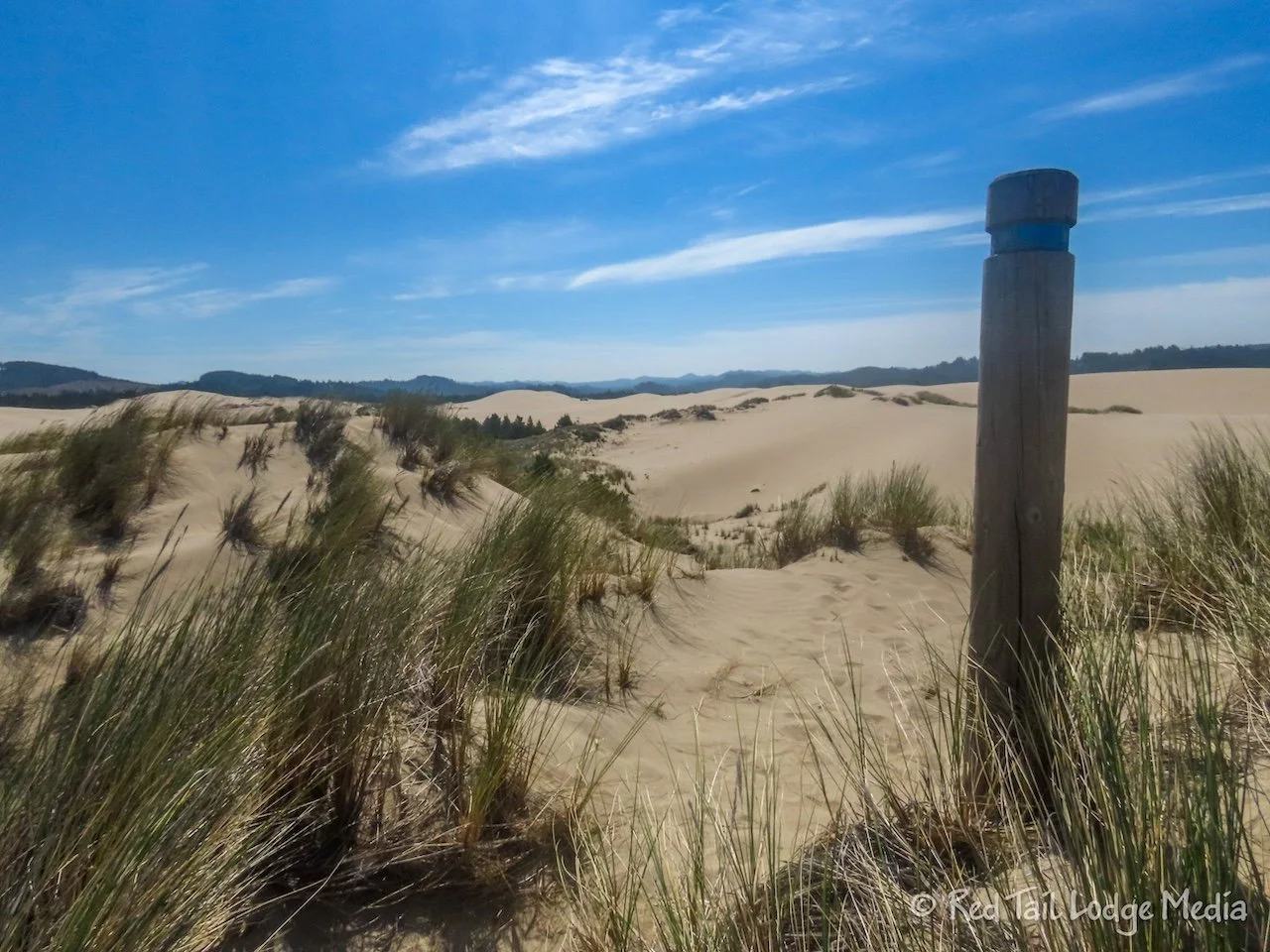
The trail quickly comes out to open dunes. It is one and a half miles of crossing open dunes, exposed to the wind and the sun. The trail is a little hard to follow, as a couple of the trail marker posts are buried in sand and one has fallen over. We would recommend that you use a GPS tracker when taking this trail, especially one that allows you to download the trail and use it offline, such as the paid version of AllTrails. You could just make sure you keep heading west, but then it might be difficult to find the trail once you reach the woods on the other side of the dunes. Also, the marked trail seems to avoid most of the steep dunes, making walking easier.
Once the trail reaches the woods, there is another mile through the vegetation before reaching the beach. Parts of the trail go through dark tunnels of thickets and on top of boardwalks. The ground under the boardwalks was mostly dry when we were there, but we’re sure it is wet during other times of the year.
The last decent down the dunes to the beach was short but rather steep. A rope was anchored at the top of the slope to use as an aid. It wasn’t needed as much on the way down as it was on the way back up. However, just where the rope would have been the most helpful, the last, steepest step up, it was past where the rope was attached. Oh well, we really shouldn’t complain. It was still manageable.
It was cooler and windier than the day before, especially out on the beach. The trail is really just an out and back, to the beach and back, not along the beach like the previous day’s hike. But you could walk along the beach there if you wanted to.
However, the beach was a little too cold and windy for our liking. We were going to eat our lunch on the beach, but we opted for a large log back up on the trail, behind the first dune, protected from the wind.
Once we crossed back over the dunes and returned to the vegetation, we followed the signs to the campground. We knew that the trail came out in the other loop of the campground, then over to the official trailhead just off of highway 101, but the signs for the campground took us back to where we started. Perfect.
Since the hike was mostly across open dunes, we were prepared for the five mile hike to last as long as five hours. However, the walking across the sand was easier than we thought it would be. Since we stayed off the steep dunes, we were able to walk on top of the sand, instead of sinking down into it, or sliding backwards. We completed the five miles of 318 feet elevation gain in two hours and 26 minutes. That included Ann stopping to take a lot of pictures. It was hike number 43 of our 52 Hike Challenge for 2024.
The Oregon Dunes did not disappoint us. The area offered quite a diverse range of flora and fauna, from sandy coastline to forests. We were surprised how different the various areas of the dunes were from each other. It was definitely worth spending a few days to explore.
Check out our related video: Oregon Dunes, Oregon
(Ann)

