Olympic National Park: North, Washington - July 18th to 21st, 2024
Olympic National Park covers most of the Olympic Peninsula in the state of Washington. There are no roads that go straight through the park. Most of the park is accessible via spur roads that branch off of US highway 101, which encircles the park on three sides. This is the first of two posts covering our visit to the park, concentrating mostly on the northern half of the park which we explored from the Fairholme Campground. The next post will cover the southern half of the park.
Thursday was another travel day. This time it was from Scenic Beach State Park to Fairholme Campground in Olympic National Park, both in the state of Washington. It was less than a three hour drive. Before leaving the state park, we dumped and filled our water tanks.
Our only stops were in Port Angeles. First we stopped at the Olympic National Park Visitor Center where we got information on the hiking trails and parking at the trailheads. Next was the laundromat. We ate our lunch while washing our clothes. Then we swung by a gas station on our way out of town.
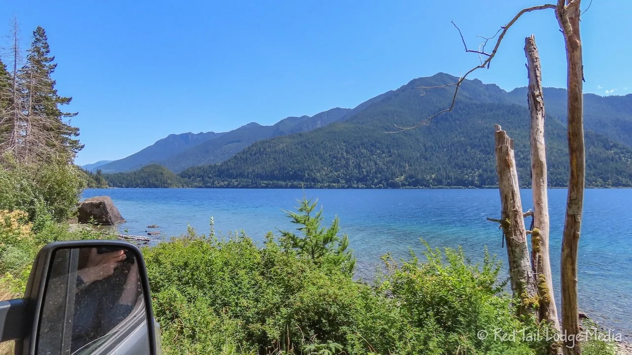
A bridge was closed on highway 101 due to construction, so we had to take a detour. The official detour was along route 112 to 113, rejoining the 101 at Lake Pleasant, but that was way further west than the campground. Google Maps took us a more direct way from route 112 onto Joyce-Piedmont Road. It was a nice, little road, but little was the operative word. When the road reached the banks of Lake Crescent, it wasn’t even two cars wide in places. You had to be careful because there was quite a bit of traffic on this road, probably due to the 101 road closure.
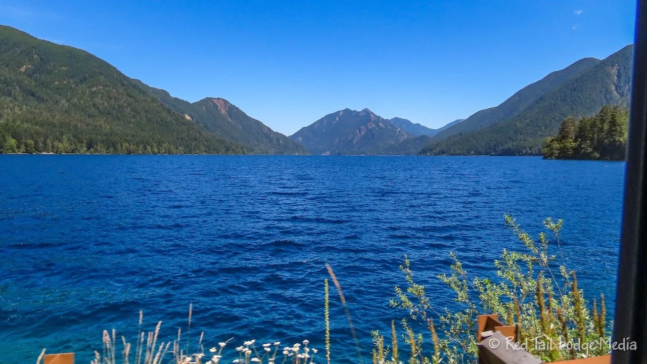
It was a nice way to approach the campground, as we drove alongside of the lake for the full length of it. As usual, the sites in the campground were nicely spaced. However, many of them were not very level, including ours. Even after using our GoTreads and 2x6’s, we still weren’t very level, but we could live with it.
To get our exercise in for the day, we walked all three of the campground loops, then down to the boat ramp and over to the camp store. There was a swimming area near the boat ramp. A posted sign said that swimmers were required to stay within the roped off area, but we didn’t see any ropes. No one was swimming, probably due to how cold the water was. There were paddle boards and kayaks out on the lake. Motor boats are allowed on Lake Crescent, but they are not allowed to exceed 5 mph or create a wake within 300 feet of a shoreline (Boating in Olympic National Park).
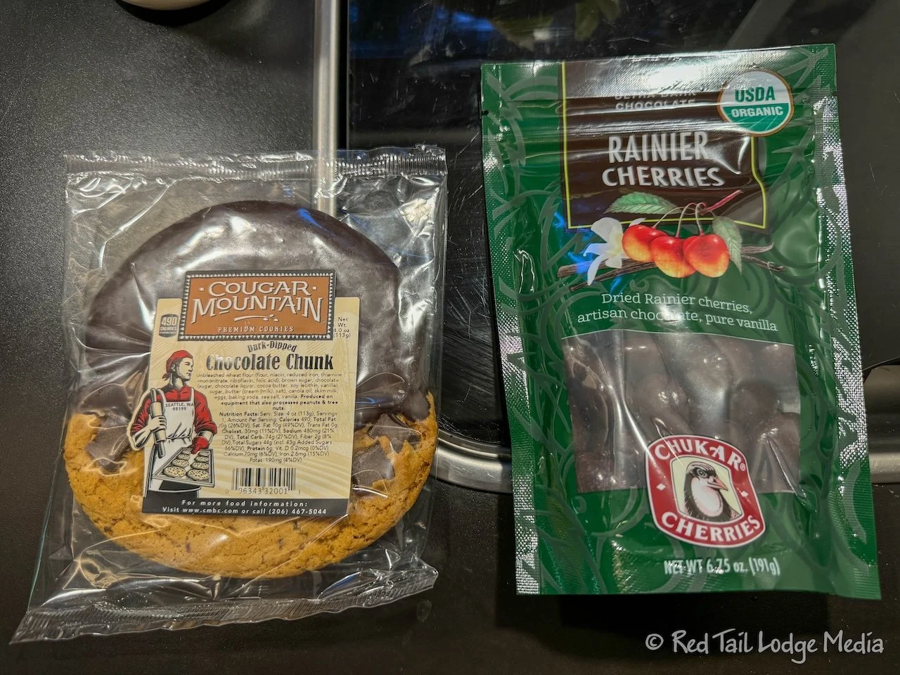
At the camp store, we were looking for ice cream treats, but the ice cream case was empty. They were waiting on a new shipment. The clerk recommended the Cougar Mountain chocolate chunk cookie and the dark chocolate Rainier cherries, so we bought both. They were both a nice dessert after dinner. Cougar Mountain is a Seattle bakery while the chocolate covered cherries were from Prosser, Washington.
Friday we got up early to go on the Hurricane Hill hike. It’s not a long hike, but the parking at the trailhead fills up early in the morning. We got up at 6 am, ate breakfast, packed up, and were on the road by 7 am. Normally, it would be only a one hour drive to the trailhead from our campground, but, due to the road closure on 101, it took us an hour and a half, via the narrow, winding Joyce-Piedmont Road.
About 1.5 miles from the trailhead is where the Hurricane Ridge Visitor Center used to be. It burned down last year and temporary facilities are in its place. The road from there to the trailhead is not recommended for RV’s or buses. We heeded that advice and parked by the visitor center.
The Hurricane Hill hike is only 3.5 miles long, so adding another 3 miles with an additional elevation gain of 100 to 200 feet by starting at the visitor center would turn the hike into 6.5 miles with close to 1000 feet of elevation gain. That is certainly within our wheelhouse.
But Keith was still not sure about his shoulder and didn’t want to carry a pack. So we pulled out our bikes and rode to the trailhead. It was mostly downhill on the way to the trailhead, which meant it was mostly uphill on the way back. We were glad we had e-bikes.
Since it was a short hike, Ann could carry all of our gear which included rain gear and water bottles. We decided not to take our trekking poles. The Hurricane Hill Trail is paved the whole way to the top, but there are sections which are pretty steep. Trekking poles would have helped take the pressure off the knees on the way back down.
The trail was gorgeous. It rises up into sub-alpine meadows, filled with wildflowers. There are panoramic views of the surrounding mountains in every direction. Some of the mountain peaks still had snow on them. At the top of the hill, there are views to the north, down to the town of Port Angeles, out across the Salish Sea to Vancouver Island and the city of Victoria in Canada, as well as the totally snow-covered Mount Baker in the distance to the northeast.
Our hike was 3.5 miles with an elevation gain of 804 feet which we completed in one hour and 44 minutes, including our quick snack at the top. It was hike number 37 of our 52 Hike Challenge for 2024 and hike number 42 of our National Park Series.
By the time we rode back to Red Tail (our Winnebago EKKO) and put our bikes away, it was after noon. We decided to drive down into Port Angeles for a late lunch. We parked just outside the downtown area and walked over to the Wharf.
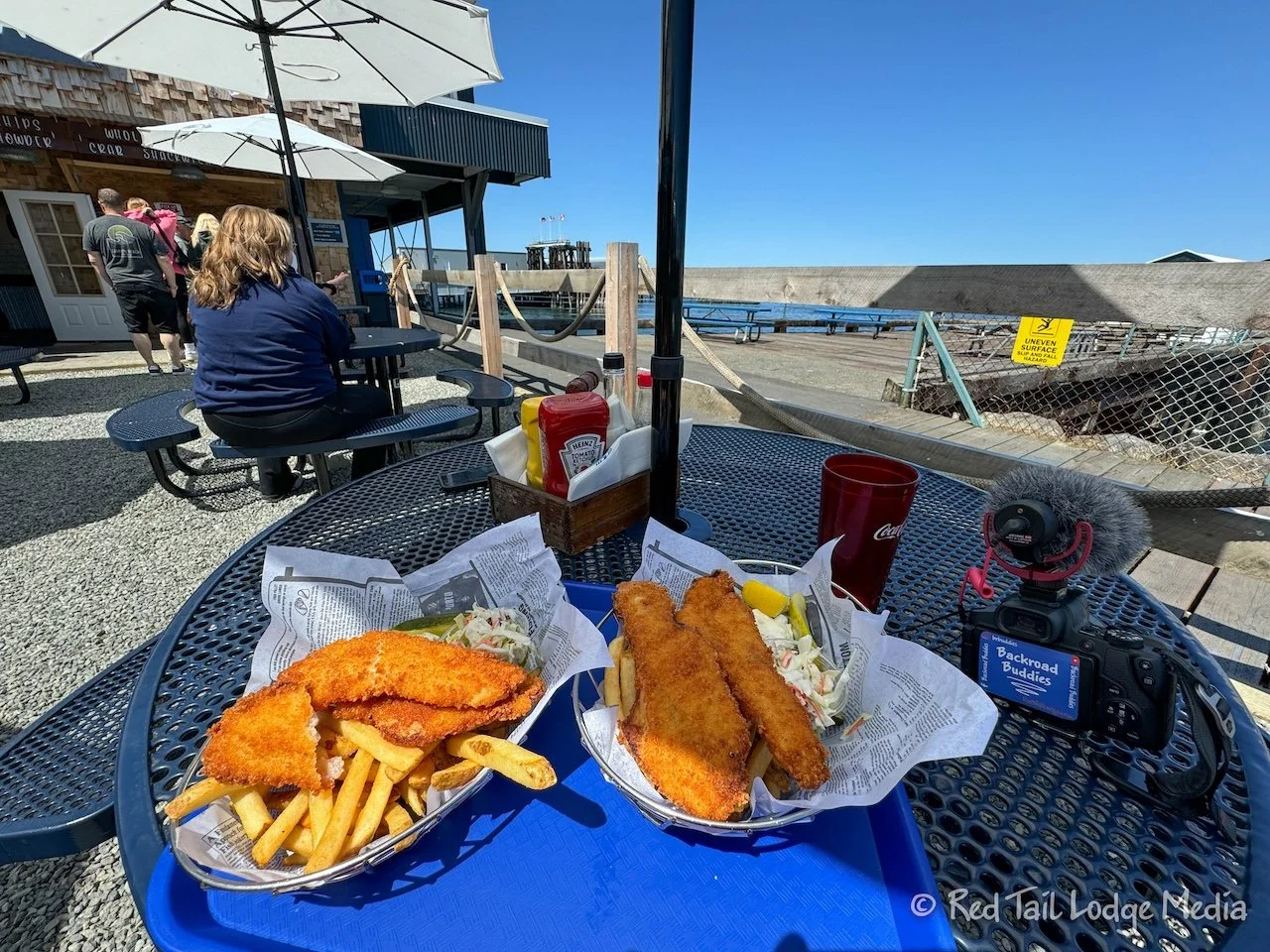
The place we picked out was called the Fish and Crab Shack . We both had the PNW Rockfish and Chips. It came with coleslaw, pickle, tartar sauce, and lemon. The fish was fresh and all of it was delicious. Ann enjoyed the fish even though she normally doesn’t like fish or seafood. It was all excellently prepared.
The Fish and Crab Shack is located at the end of the Wharf, with all of the tables located outside. The breeze off the water kept us cool, even though we were sitting in the sun, in fact, a little too cool. Ann was wishing she had brought her jacket with her. But we enjoyed the view out over the water, watching the boats sail by.
Afterwards, we went inside the Wharf and had ice cream at a place called Welly’s Real Fruit Ice Cream. It is a New Zealand style ice cream, where they mix fresh fruit into a scoop of sweet cream. Ann had the mixed berry while Keith had the strawberry. It had a wonderful, fruity flavor.
To burn off some of those calories, we strolled around the downtown area, up and down First Street and Front Street. It was a pleasant little town. The Feiro Marine Life Center is not far from the Wharf. Admission for adults is only $6, but we decided to skip it. It looked like a great place to take kids, with a lot of hands-on activities including three touch tanks.
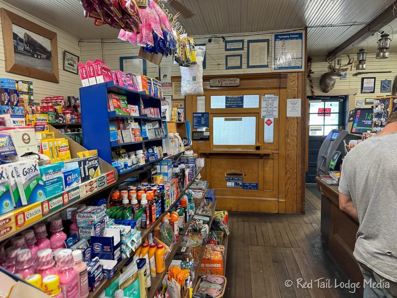
On the way back to the campground, we stopped in the town of Joyce to get gas. We were down to half a tank and didn’t think we would be near a gas station the following day. The Joyce General Store gas station had a lot of character. Inside, memorabilia hung from the ceiling and there was a corner of the store partitioned off and operating as a post office. It looked very old-fashioned, but very cute.
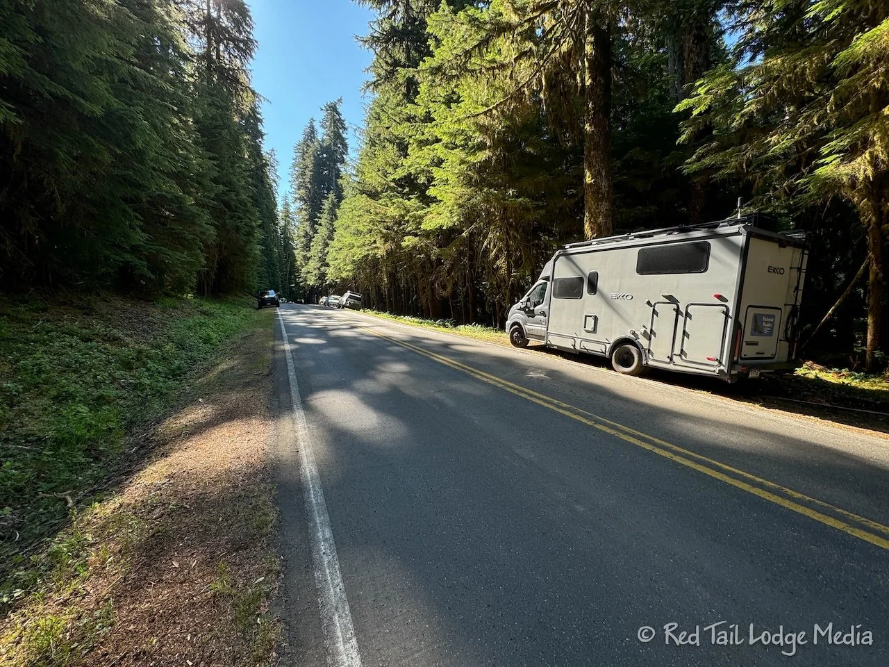
The theme for Saturday was waterfalls. We started out by driving up to Sol Duc Falls trailhead. It was only a half an hour drive from the campground. However, we didn’t start as early as we did the day before, arriving at the trailhead around 10 am. As we approached the parking lot, there were cars parked alongside the roadway. We figured the lot was already full, so we grabbed a somewhat level spot and parked. You had to be careful, because the shoulder was not very wide in places and had steep drop-offs on the sides.
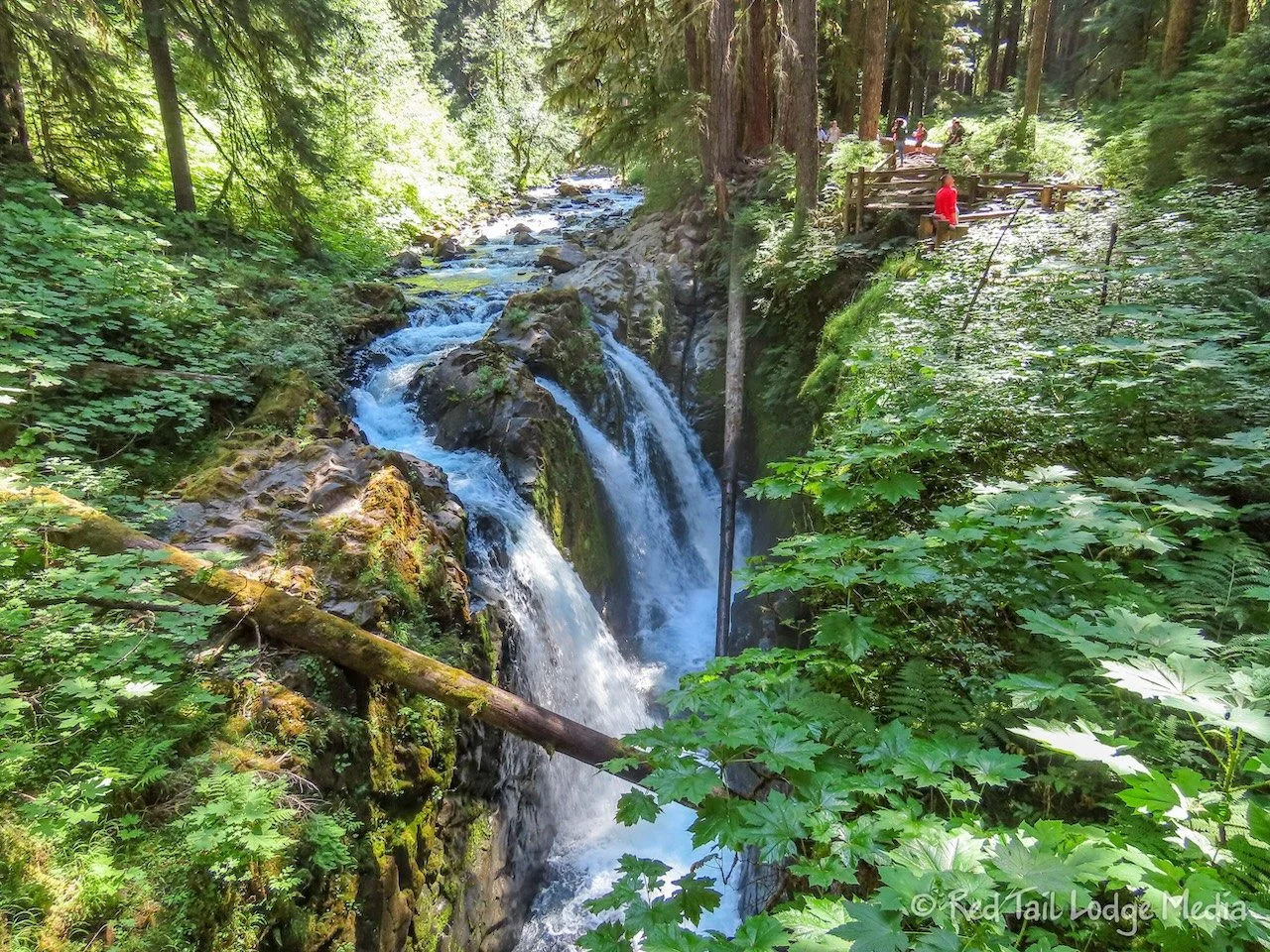
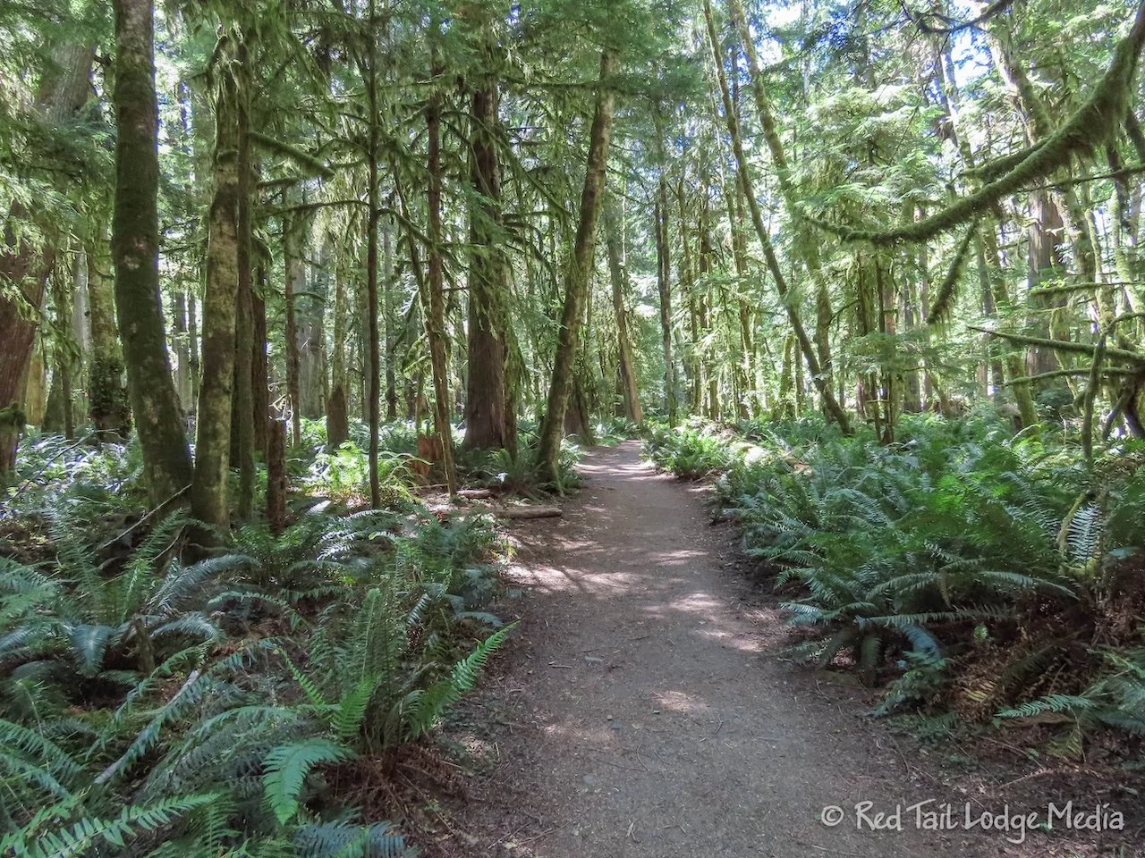
From where we parked, it was about a 0.4 mile road walk to the trailhead. The trail to the falls was a nice walk through the woods, with little foot bridges crossing several little streams. The falls themselves were pretty impressive.
The whole hike, including the road walk, was 2.6 miles with an elevation gain of 446 feet which we completed in one hour and 13 minutes. After our hike, we drove over to the Storm King area, near the Crescent Lake Lodge.
Just like everywhere else we had visited in the park so far, parking spaces were at a premium. There were several parking lots and most of them were full. We drove down to the end of Lake Crescent Road, to the Bovee’s Meadow picnic area and grabbed one of the last available spots. It was a Saturday and everyone seemed to be enjoying the beach and the lake. We were actually there to go on a hike, to Marymere Falls.
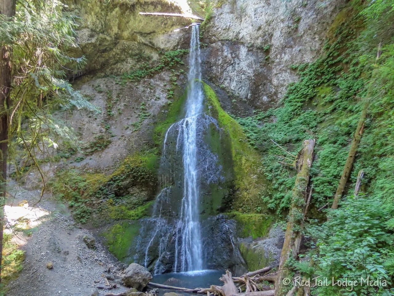
We started from Bovee’s Meadow, walking by the lodge, then followed alongside Barnes Creek and under the highway. That is where the trail joins the official Marymere Falls Trail. The falls are up a little side creek from Barnes Creek, where the trail makes a short loop, passing by the foot of the falls and part way up to the top of the falls. Again, the falls were fairly impressive.
On the way back, we followed the official trail back under the highway and over to the Storm King Ranger Station. From there, we followed a trail that took us over to the Moments in Time Trail. We only did half the of Moments in Time loop before ending up at the lodge.
We bought a couple of cold drinks from the lodge lounge and sat down by the beach, watching all the activity. The area had the feel of a summer vacation resort. In addition to the lodge, there were quite a few, cute, little cottages that you could rent out. There were boat rentals and a swimming area. The beach and lake were full of people enjoying the water.
By the time we returned to Red Tail, we had gone 4 miles with an elevation gain of 361 feet in two hours and 12 minutes, including enjoying our beverages near the beach. So our totals for the day were 6.6 miles with an elevation gain of 807 feet which took us a combined time of three hours and 25 minutes. We counted the combination of the two hikes as hike number 38 of our 52 Hike Challenge for 2024.
We had dinner reservations at the lodge for 5:30 pm. We had about an hour to kill, so we grabbed our Crazy Creek stadium chairs (paid link) and found a shady spot to hang out down near the beach. Then we walked back over to the lodge for dinner.
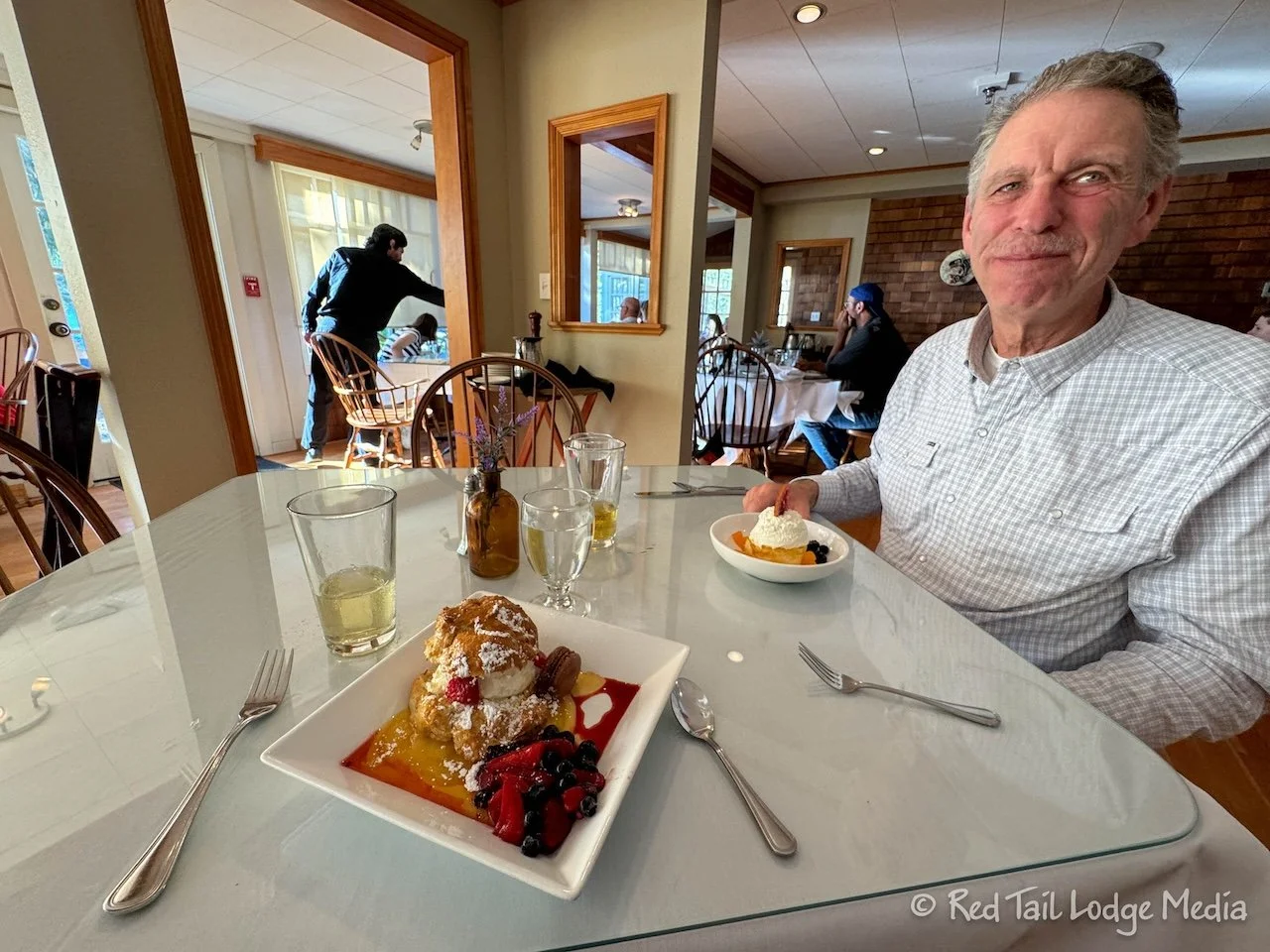
The lodge is cute inside. Again, it has that summer resort feel. Ann ordered the Korean BBQ chicken while Keith had the salmon. Both meals were delicious and excellently prepared. For dessert, Ann tried the lavender shortcake with chantilly cream, lemon curd, and mixed berries with a drizzle of honey over the top. Keith opted for the cheesecake which also came with chantilly cream and fresh fruit. They were both wonderful.
Sunday we got up early to check out Rialto Beach and the Hole-in-the-Wall hike. We say early, we mean really early, at least for us.
The highlight of the hike is exploring the tidal pools near the Hole-in-the-Wall. In order to view the tidal pools, you need to go during low tide. There are two low tides each day, but, when we looked at the tidal charts, the morning low tide was much lower than the evening for that day. Low tide occurred around 7:30 am.
Since Rialto Beach was about a 45 minute drive from the campground and we wanted to make sure we got a parking spot, we got up at 5 am, started packing up at 5:30 am, and reached the parking lot around 6:30 am. We had no trouble getting a spot, but the lot was about half full.
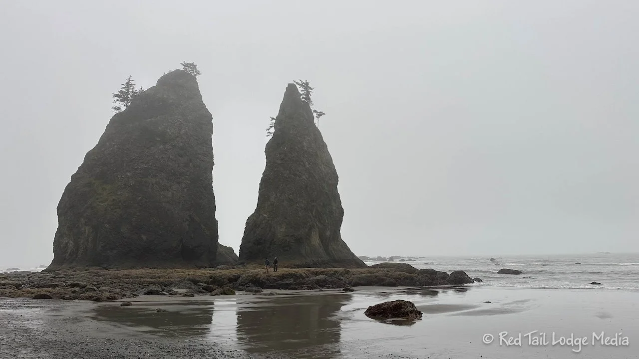
It was foggy and drizzling rain the whole time we were there. Somehow that seemed appropriate for the Pacific Northwest, especially being so close to the rainforests. We started down the beach before 7 am, with lots of other people, some heading the same direction and others already on their way back.
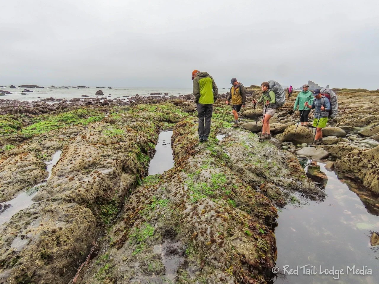
There were a couple of tidal pools on our way to the Hole-in-the-Wall, with colorful starfish, barnacles, and sea anemone. But the best tidal pools surrounded the Hole-in-the-Wall.
The Hole-in-the-Wall is just that, a hole through the rock of a piece of land that juts out into the sea. At low tide, you can walk through the hole to the other side, or around it. But we don’t think it is passable when the water is higher.
However, the hole was not really of much interest to us. We found the Split Rock formation, which is before you reach the hole, more interesting. But what was even more interesting to us were the tidal pools, especially since we don’t visit the ocean very often.
We spent about an hour wandering around the pools, staring at all of the little creatures. We didn’t seem to mind that we were cold and wet. We didn’t return to Red Tail until about 9:40 am. Our walk along the beach was four miles long, with an elevation gain of 118 feet, which took us two hours and 42 minutes. It was hike number 39 of our 52 Hike Challenge.
After a hot beverage to warm ourselves back up, we drove back to the campground. Back at Lake Crescent, the sun was out and temperatures were in the upper 60’s. Now that’s better! We’ve heard the weather can be quite different from one side of the Olympic Peninsula to the other.
We made it back to our camp site in time for lunch. Then we hung out at the campground for the rest of the day.
And so ended our stay at the Fairholme Campground. The mountains, waterfalls, and rocky, ocean beach were a delight. We were moving on to another campground the following day. We were excited about what the rest of the park had to offer us.
Check out our related video: Olympic National Park: North, Washington
(Ann)

