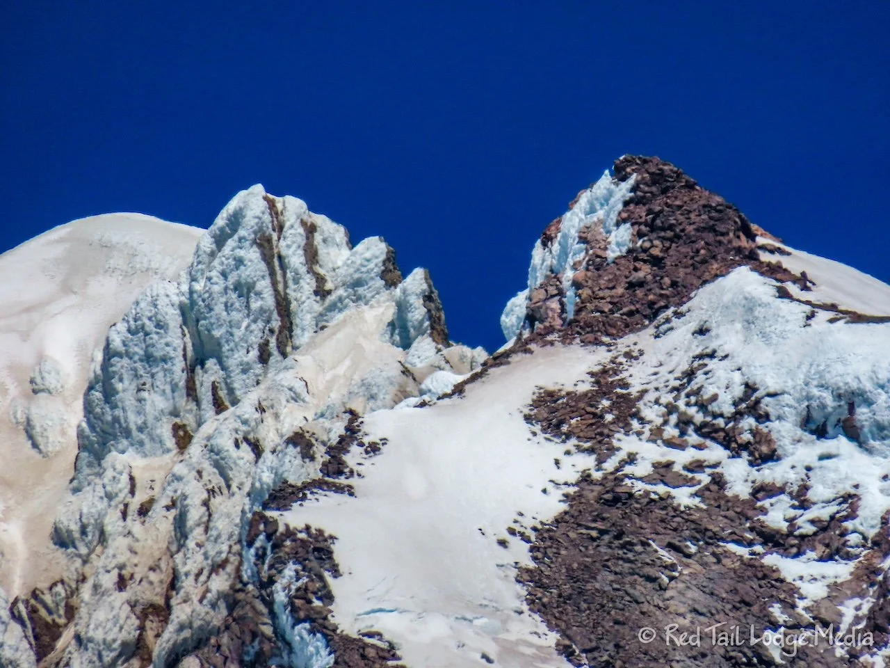
Mount Hood, Oregon - June 24th, 26th, and 28th, 2024
Mount Hood is an impressive mountain peak. The Mount Hood Scenic Loop is a scenic drive that encircles the base of the mountain. We spent three separate days exploring the area from our camp sites at Trillium Lake and Milo McIver State Park. We covered Trillium Lake in our previous post (Trillium Lake, Oregon - June 23rd to 26th, 2024) and we’ll cover Milo McIver State Park in our next post.
Monday, we checked out the nearby town of Government Camp along with the historic Timberline Lodge up on Mount Hood.
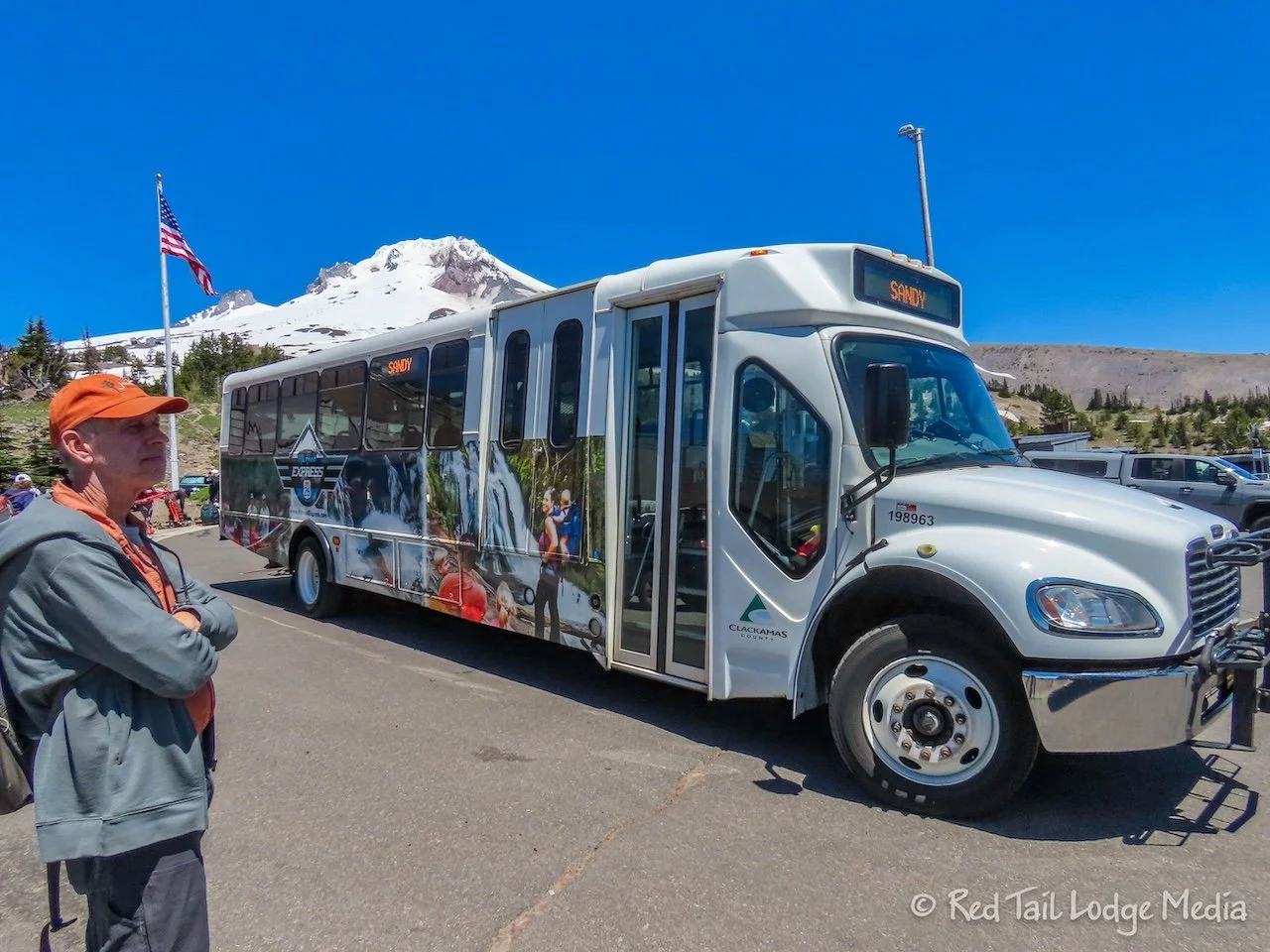
Timberline Lodge is located six miles up a road from Government Camp. We weren’t sure what the road and road conditions were like along with what the kind of parking options would be for our RV up on the mountain. So we did a little research and found that there was a bus service from Government Camp up to the lodge for only $2 per person each way called Mt. Hood Express. The bus route starts in Sandy and ends at Timberline, running about every two hours.
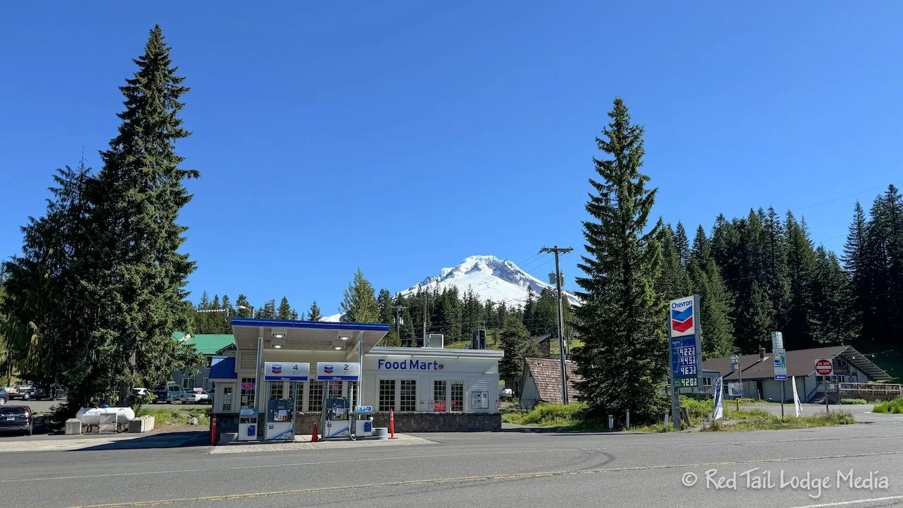
We had no problems finding a place to park in Government Camp. There is a rest area with a large parking lot near the bus stop, along with plenty of on-street parking along the road that goes through town. The bus stop isn’t marked, but the staff at the Chevron station confirmed it was just on the other side of the road from the front of the gas station. We arrived in plenty of time to catch the 10:13 am bus up to the lodge.
We arrived at the lodge around 10:30 am. We could have easily driven the road in Red Tail (our Winnebago EKKO) and possibly found a place to park near the lodge. There is a large parking lot, but it was pretty full. Mount Hood is a ski resort, the only one in the country open year round. There are ten glaciers on the mountain (there used to be twelve), so there is snow all year long.
There are also hiking and mountain biking trails that lead from the lodge, but they were still covered with snow so they were not open yet for the season. Ann spotted a moderate hiking route on AllTrails called Timberline Lodge to Zig Zag Canyon, but recent reports claimed that crampons were still needed and you still had to watch out for skiers whizzing past you. So we decided not to hike.
After taking a couple of pictures of the lodge from the outside, we walked inside to see what it looked like. To our surprise, there was a free guided tour starting at 11 am. We had a few minutes before it started, so we watched part of the informational movie about the lodge showing in a small room.
The tour lasted almost one and a half hours. It was very interesting. Timberline Lodge is the only lodge owned by the National Forest Service. Our tour guide, Bruce Bridgess, is a National Forest ranger and gave us an excellent tour. The lodge was completed in 1937, during the Great Depression, employing about 600 people through New Deal programs of the CCC (Civilian Conservation Corps), WPA (Works Progress Administration), and the FAP (Federal Art Project).
The lodge was handcrafted, using cheap or free materials. No power tools were ever used. The wood and stone was from the surrounding mountain and forest. Fabrics were woven from scraps for the draperies and upholstery. All the furniture was hand made. Wood was hand carved into decorative table legs and newel posts. Metal was blacksmithed into hinges and fireplace irons. Rugs were hand looped. The result was a gorgeous ski lodge. In order to preserve the history of the lodge, anything new brought in to replace or enhance what has worn out or is needed must be made in the same manner and with the same materials as was used in 1937.
When the tour was over, we debated about having lunch in the lodge dining room or the Rams Head Bar. Instead, we caught the 12:45 pm bus back down to Government Camp to check out the restaurants in town. Strolling the few blocks of town, we ended up at the Huckleberry Inn Restaurant. It is an old-fashioned diner, with booths and a long lunch counter.
Ann ordered the reuben with potato salad while Keith had a fish sandwich with fries. They were tasty. As we sat there eating our meals, we were eyeing the huckleberry shakes on the menu and the delicious-looking homemade pastries sitting behind the counter. We had shakes for dessert and bought a huge donut for later. The glazed donut was about four servings or more.
Wednesday we drove the Mount Hood Scenic Loop. The loop is a triangle that encircles Mount Hood. We went in the clockwise direction, starting with US Highway 26 heading northwest. In the town of Wood Village, just east of Portland, we stopped at Tany’s Cafe Con Pan, a Mexican bakery. We’ve never been to a Mexican bakery before, so we picked out a variety of pastries to try. These included Mexican wedding cookies, peinetas ajonjoli, picon, reganatas, cream cheese dulce de leche croissant, mini chocolate orejas/palmiers, and empanada fresa strawberry. We ate a few there and took the rest in a box to try later. Along with our pastries, Ann drank a Mexican hot chocolate which they called Abuelita (which translates to “Granny”) and Keith had a Cafe Horchata. Everything was delicious.
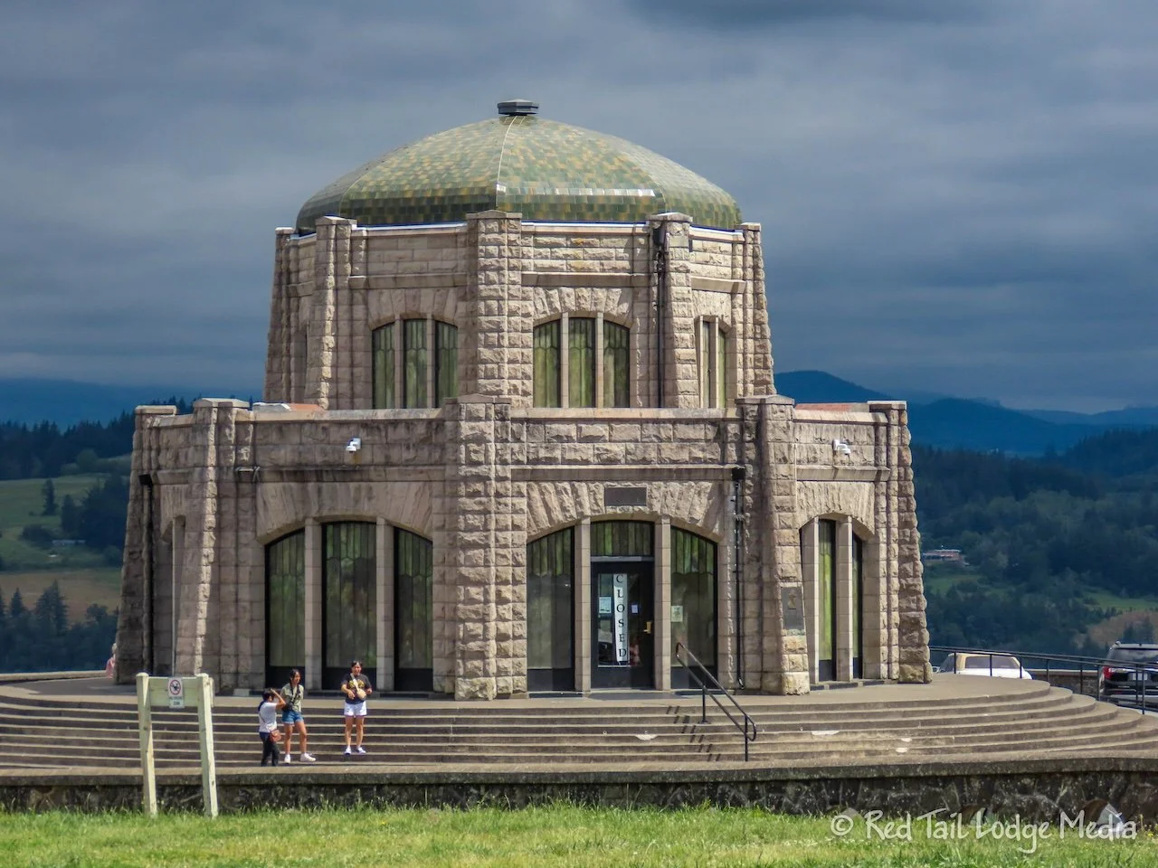
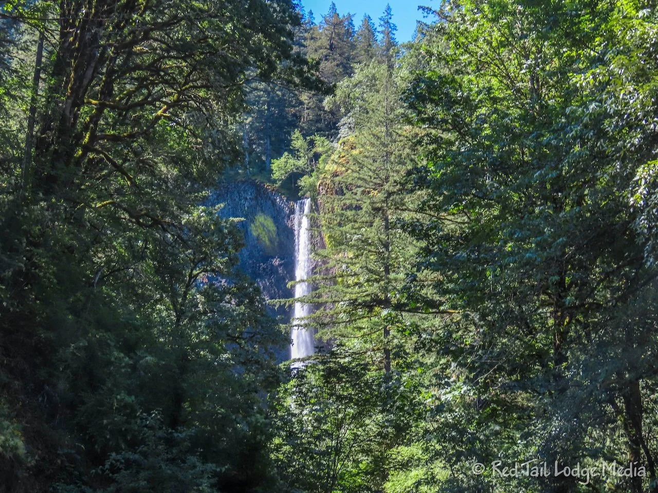
From Wood Village, we drove through the town of Troutville to pick up the Historic Columbia River Highway Scenic Byway, just on the other side of the Sandy River. This is the northern part of the Mount Hood Loop, and the busiest. The scenic byway parallels I-80 for the most part, but is much more scenic. Gorgeous overlooks and waterfalls line the road. Even on this cool, cloudy weekday, parking spots at the waterfalls came at a premium. We stopped at most of the overlooks and waterfalls, including Portland Women’s Forum State Scenic Viewpoint, Vista House at Crown Point, Latourell Falls, Shepperd’s Dell, Bridal Veil Falls, and Horse Tail Falls.
We couldn’t find a parking spot in order to see Wahkeena Falls and Multnoma Falls. As we were looking through the information along the route earlier that morning, we discovered that a timed entry permit is required for vehicles wishing to stop at Multnoma Falls, the most popular falls, being the tallest falls in Oregon. Luckily, we were able to purchase a permit, but that did not guarantee you a parking spot. The website warned you about it and we experienced it as well. So we had a timed entry permit that we couldn’t use. It seems like there should be a better system.
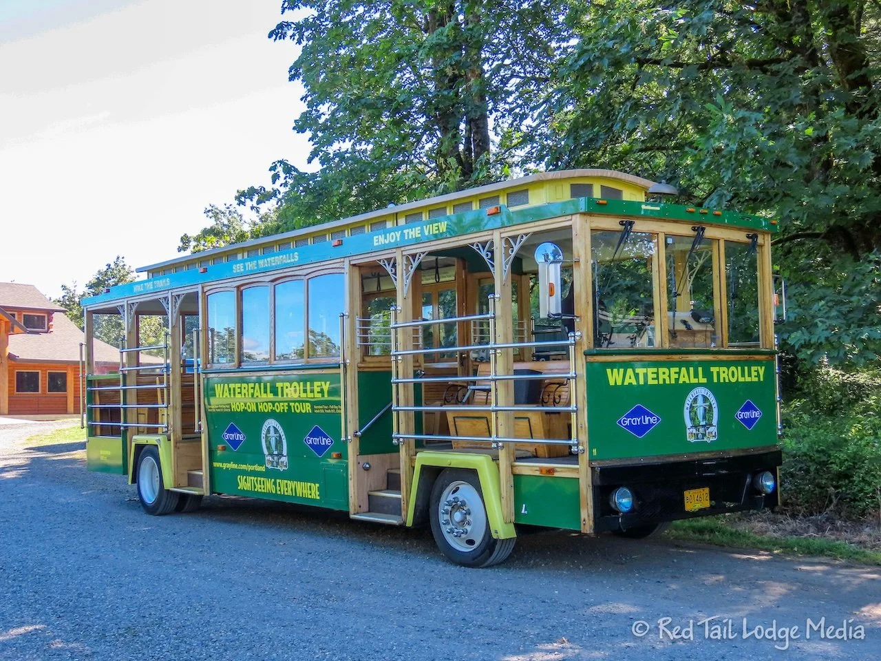
What we didn’t realize before was that there was a Waterfalls Trolley along the Historic Columbia River Highway. For $33 per person, you can park at one end and ride the trolley, hopping on and off at the nine stops as you pleased from 9 am to 5 pm. We decided to come back on Friday to check out the waterfalls that we missed.
After the waterfall section, the scenic byway joins I-80 to continue along the Columbia River Gorge. We got off at exit 40 to check out the Bonneville Lock and Dam. The visitor center was quite interesting. There is a 26 minute film in the center which gives a good history of the area and the dam. The dam creates electricity along with a navigational lock for commercial traffic up and down the river.
In addition, there are fish ladders to allow all of the fish to pass around the dam, including salmon. Underwater viewing windows allow you see the fish swimming up the ladders. Nearby is a fish hatchery with the Sturgeon Viewing Center where Herman the Sturgeon lives. He is 10 feet long, 425 pounds, and over 60 years old. After our time at the dam, we were at our saturation point for the day, so we didn’t stop at the Viewing Center to see Herman.
At the town of Hood River, the Mount Hood Scenic Loop heads south on US Highway 35. It winds through orchards and farms, an area known as the Fruit Loop. We stopped at Packer Orchards to pick up some berries. In addition to the strawberries, blueberries and cherries, we also picked up a couple jars of salsa that looked interesting, tomatillo-avocado and mango-lime.
By now, it was getting close to dinner time. We didn’t feel like cooking, so we found a BBQ place in the town of Parkdale, just a couple of miles from the highway, called Apple Valley BBQ. We both had the pulled pork platter. We both ordered the pear coleslaw as one of our sides, but Ann got the garlic parmesan fries as her second side, while Keith had the cornbread salad. We weren’t sure what cornbread salad was, but Keith was willing to give it a try. It was delicious, In fact, all the food was fantastic. We would highly recommend the place.
Friday was our 10 am reservation for the Waterfalls Trolley. Our boarding location was in the town of Corbett, along the Historic Columbia River Highway Scenic Byway. If you arrive ten minutes or more before your boarding time, you are guaranteed a seat on the trolley. Otherwise, you can board any of the trolleys at any of the stops, only if there is room. The trolleys start at 9 am and run until 5 pm, with an hour between each trolley.
Since we had already driven the route, we wanted to do a long hike this time. Even though you can hop on and off the trolley at any of the stops, we stayed on until the start of our planned hike, at Wahkeena Falls. The trolley has a recorded narration the whole way, plus our driver would throw in additional tidbits as we went. We learned that the trees in the area stay green all year long. Even though they look like deciduous trees, they do not change color in the fall, nor do they drop all their leaves.
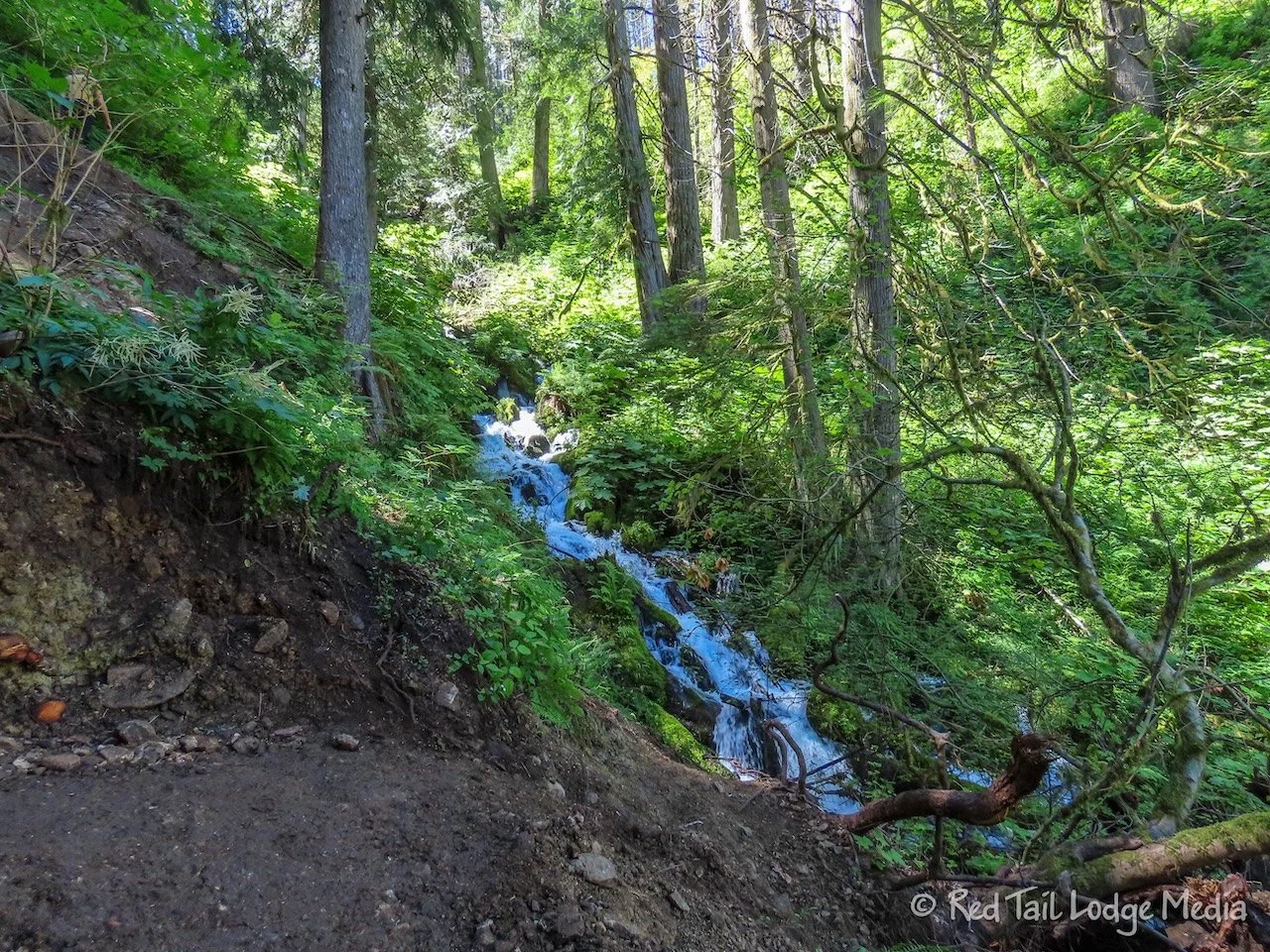
The hike we picked out was the Wahkeena and Multnomah Falls Loop, covering the two major waterfalls we missed during our drive two days prior. The trail goes right by the base of Wahkeena Falls, then it has a series of switchbacks up the gorge to get above the falls. The trail then follows alongside Wahkeena Creek, with many little, but still beautiful waterfalls along the way, with Fairy Falls being the most notable. Another series of switchbacks took us up above the creek to start cutting over to Multnomah.
Just past Fairy Falls, there was what one hiker warned us about, what he called a “tricky little bit”. The trail was partially washed out for about a ten foot section. We took it slowly, double-checking our footing with each step, and had no issues getting through it.
For about a mile or so, the trail traversed the mountain, so it was pretty flat. A burned out area provided a nice view of the Columbia Gorge below. The vegetation was pretty lush, sometimes encroaching upon the trail, making it pretty narrow. Hopefully what we were brushing up against was not poisonous. Even though there were no waterfalls along this section, there were a wide variety of wildflowers.
The loop trail then turns to head down to Multnomah Creek, passing by three more significant waterfalls, Ecola Falls, Wiesendanger Falls, and Dutchman Falls. We stopped at Wiesendanger Falls to enjoy our lunch. There were quite a few people hanging out there with us, as it was about the only area along the whole loop where there was room to sit down.
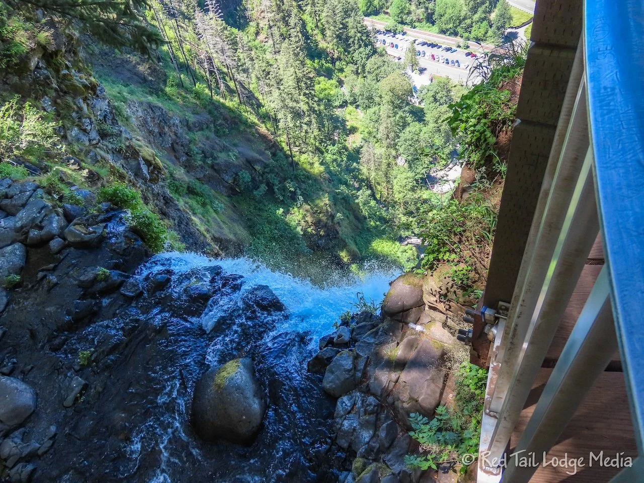
When we reached the spur trail that took us over to the brink of Multnomah Falls, the tallest waterfall in the state of Oregon, the trail started to get a little more crowded. You can’t see much of the falls from the brink, but it is impressive to see the water disappear over the edge and see the crowds of people way below.
From there, it is a series of eleven switchbacks down to the bottom. The switchbacks are numbered, to give people an idea how far they have to go. Many people seemed to be struggling. It’s not terribly steep or long if you are an experienced hiker or in good physical shape, but the people having a hard time looked like they were not hikers. The trail is paved most of the way, so people were wearing a variety of attire.
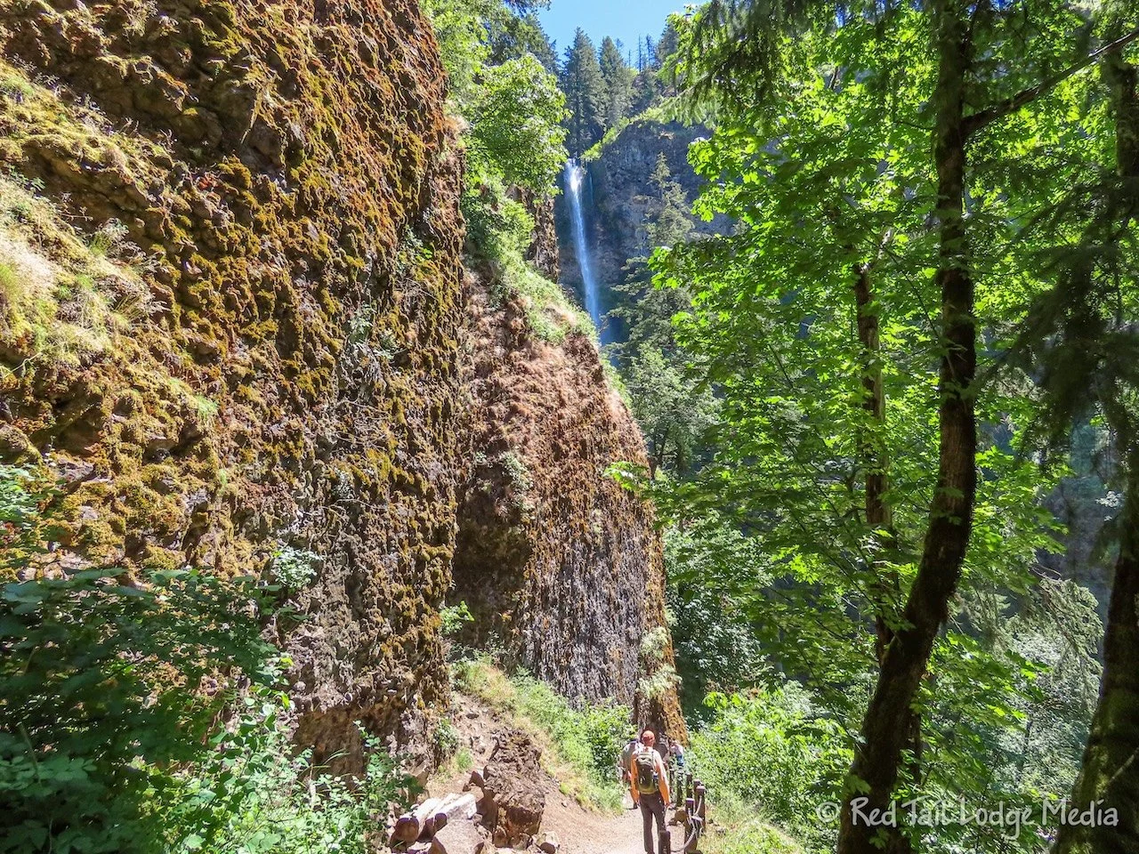
At the points of some of the lower switchbacks, the waterfall starts to come into view. The waterfall is actually two tiers. Near the bottom of the upper tier, the taller section of the waterfall, the trail crosses a bridge. When you continue on the trail, winding around to the bottom, the lower tier comes into view. We really liked approaching the waterfall from the top down, as it gradually revealed itself, with the full view of the waterfall as the grand finale.
As we were descending down the switchbacks, we noticed a much larger parking lot than the two small ones we saw along the Columbia Historic Highway. We later found out that you can’t access the larger lot from the historic highway, only from a rest area exit along I-80. A walkway, with an underpass under the interstate, brings you over to the Multnomah Falls area. And we think the timed permit that we purchased for our drive a couple of days prior is only needed for the larger parking lot. We now believe the two smaller lots along the historic highway are first come/first serve, no timed entry permit needed. It was all very confusing. It also looked like some people were paying the trolley driver a reduced fare to just ride the trolley one or two stops to get to Multnomah Falls from where they parked. We recommend you do some more research on the parking and trolley options before you visit.
Had we known more the first time we visited, we might have done things differently. But, we might have just done a quick visit of Wahkeena Falls and Multnomah Falls and not done the whole loop. That would have been a shame, because the loop hike was the highlight of the area for us. A long hike took us away from the highway and train noise and away from the crowds of people. It gave us a more intimate experience with the smaller, yet still beautiful waterfalls. It surrounded us with lovely trees, vegetation, wildflowers, and views of the Columbia Gorge from above. We would highly recommend this hike.
We started the loop at Wahkeena Falls and finished the hike at Multnomah Falls, so we didn’t walk the quarter of a mile along the road to get back to Wahkeena Falls, since we could catch the trolley at Multnomah Falls. Our hike was 5.1 miles long with an elevation gain of 1549 feet which took us three hours and 45 minutes to complete. It was hike number 31 of our 52 Hike Challenge for 2024.
The historic Multnomah Falls Lodge sits at the bottom of Multnomah Falls. There is a full service restaurant on the upper level. A snack bar and restrooms are on the lower level. Since it was the middle of the afternoon, we opted for just snacks after our hike. An Oregon berry milkshake was for Ann and a vanilla one for Keith along with a soft pretzel. The food wasn’t anything special.
After our snack, we took the trolley back to Corbett. From there, it was about a 45 minute drive back to the campground. As we approached the state park, we could see Mount Hood in the distance. We didn’t see it the first day driving in because it was hidden by the clouds. It was almost dinner time by the time we arrived at camp. After well-needed showers, we were thankful we had leftovers to eat so we didn’t have to cook.
Mount Hood is not any one particular destination, but an area to explore. We’re glad we spent three days exploring the area. We could have easily spent more. No matter how many days you spend there, it is well worth the time.
Check out our related video: Mount Hood, Oregon
(Ann)


