Fort Stevens State Park, Oregon - July 29th to 31st, 2024
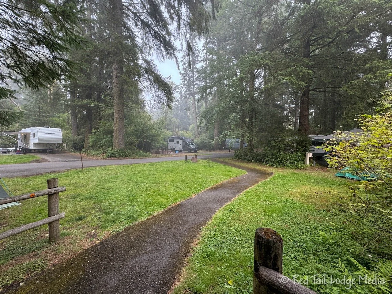
Fort Stevens State Park is situated on the Oregon coast, at the mouth of the Columbia River. It was once a military installation. A large campground allows people to explore the area, with bike trails, beach access, free exploration of the historic military site and an historic shipwreck.
It rained all day Monday on our travel day. We drove from Millersylvania State Park in Washington to Fort Stevens State Park in Oregon. It didn’t really pour down rain, but it was a constant rain all day. The rain varied from a light mist to a heavy drizzle.
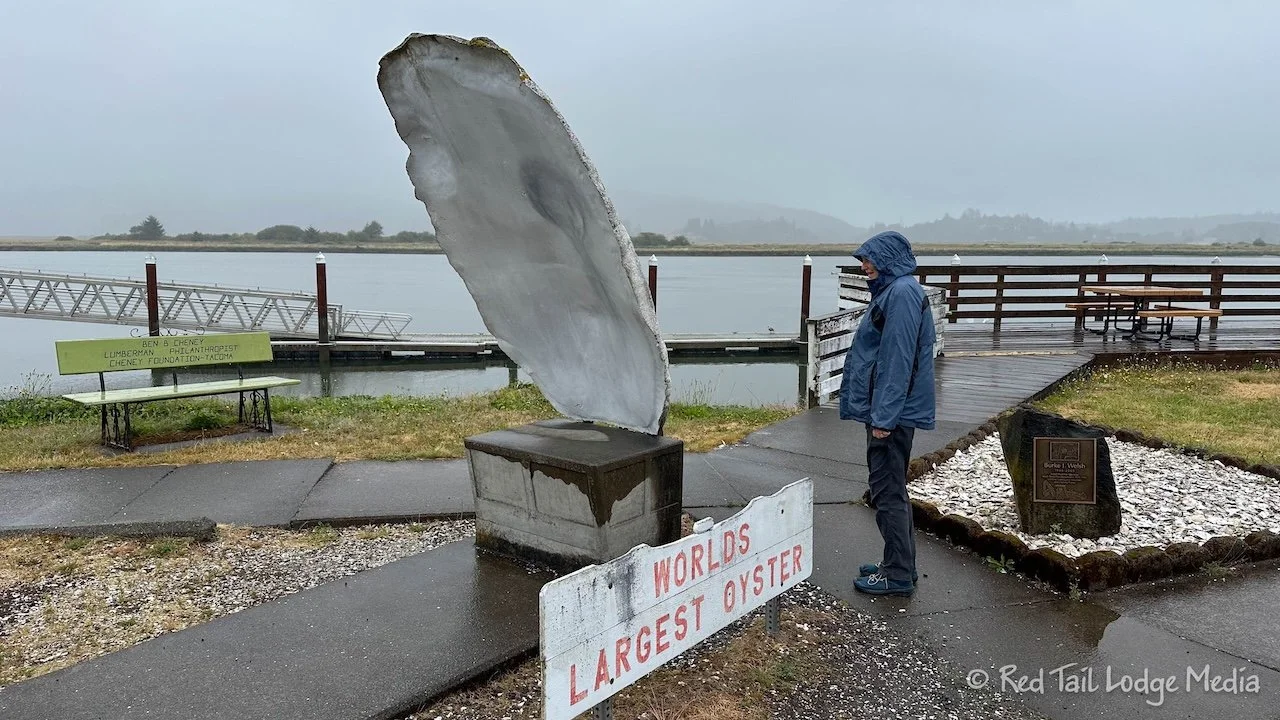
Despite the rain, we still saw some things along the way. We headed over to the town of Montesano, then cut over to pick up Highway 101, not far from where we left it the week before. Once we reached the town of Raymond, the highway follows alongside the Willapa Bay. The road passes through salty marshes with channels of water meandering through it. It reminded us of the South Carolina coast we visited the year before (Hunting Island State Park, South Carolina - May 13th to 14th, 2023). In South Bend Washington, we stopped to see the World’s Largest Oyster and watch a boat off load its cargo into the Pacific Seafood plant.
Our main stop was in Long Beach, Washington. It is on a long, skinny peninsula on the west side of Willapa Bay, just north of the Columbia River. They claim the beach is the longest continuous sand beach in the United States, stretching for 28 miles. Cape Disappointment State Park sits on the southern tip at the mouth of the river. We had lunch at Drop Anchor Seafood & Grill. Ann had the cod fish and chips while Keith had the salmon fish and chips. For our sides, Ann ordered the salad and Keith opted for the cup of clam chowder. Ann forgot to ask them to leave the shrimp off the salad. However, the shrimp were little baby shrimp and she managed to eat them. They weren’t half bad. For a person who doesn’t like fish or seafood, Ann has been trying to broaden her horizons. It seems like fish and seafood is part of the experience when visiting the coast. The food at Drop Anchor was decent, but we both liked the fish and chips we had in Port Angeles better.
Not far from the Drop Anchor was the World’s Largest Frying Pan. Not only did it pair well with the World’s Largest Oyster, it was on our list of things to see since our visit to Winlock the month before (Lewis and Clark State Park, Washington - June 30th to July 4th, 2024). Winlock is home to the World’s Largest Egg. The staff at the history museum there told us about the frying pan. The frying pan was brought to Winlock once for their Winlock Egg Days celebration where they used it to fry eggs. It is cool to be able to find links between the various places we visit.
Ann saw something listed as the Basalt Monolith on Google Maps along the beach near town. She wanted to go check it out. The monolith was almost a mile from the restaurant. Keith’s foot was still bothering him, so he chose to drive over to the Ace Hardware store instead and look for an item.
Ann donned her raincoat, as it was still raining, and headed towards the beach. She thought she was going to walk along the boardwalk, but, when she reached it, the path she was on went underneath the boardwalk. There was no ramp or stairs up to the boardwalk. There was also a paved path, that ran somewhat parallel to the boardwalk, but she wasn’t sure where it went. So she continued out onto the beach.
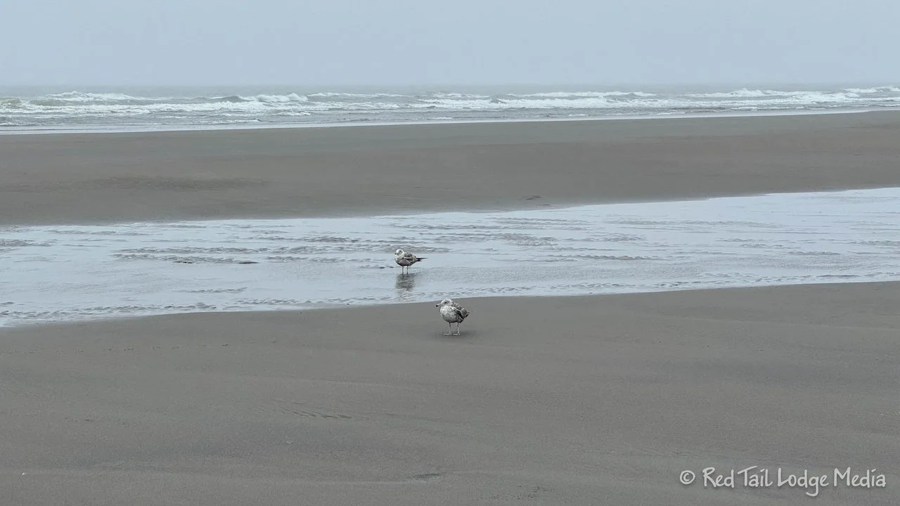
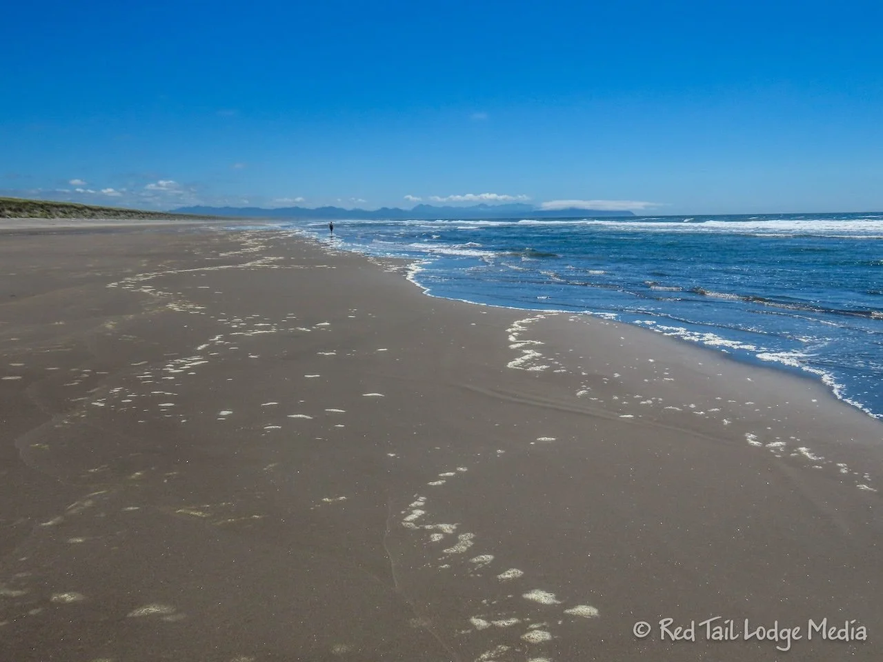
The beach was a beautiful, fine grain, black sand. The sea was rough. The wind was blowing. And Ann’s rain jacket was not fully waterproof, at least when the wind was pelting the rain against her body. Her pants were quickly drenched… on just one side. The seagulls didn’t seem very happy with the weather either, as most of them were huddled in large groups, protecting each other from the wind.
Walking along the beach towards the monolith, she reached the point where Bolstad Avenue comes out to the beach. Vehicles are allowed on the beach north of Bolstad, but not south. RV’s are not allowed. The boardwalk starts at Bolstad Avenue, so you can get on it there. We’re not sure where other access points to the boardwalk are.
The paved path also crosses Bolstad Avenue. It is called the Discovery Trail. It is much longer than the boardwalk, extending 8.5 miles from Breakers To Port of Ilwaco. Ann took the Discovery Trail the short distance from Bolstad to the monolith. It turns out that the Basalt Monolith is a sculpture, part of a William Clark Memorial.
After reuniting at Red Tail (our Winnebago EKKO), we tried to drive over to the North Head Lighthouse. We didn’t realize the lighthouse was inside Cape Disappointment State Park, which meant we would need a Discovery Pass to park. We were willing to pay the $10, but when we reached the North Head Lighthouse Road, it was clearly marked that RV’s were not allowed. Had it been better weather, we might have looked for a place to park and ride our bikes to the lighthouse. Instead, we just turned around and continued on to Fort Stevens.
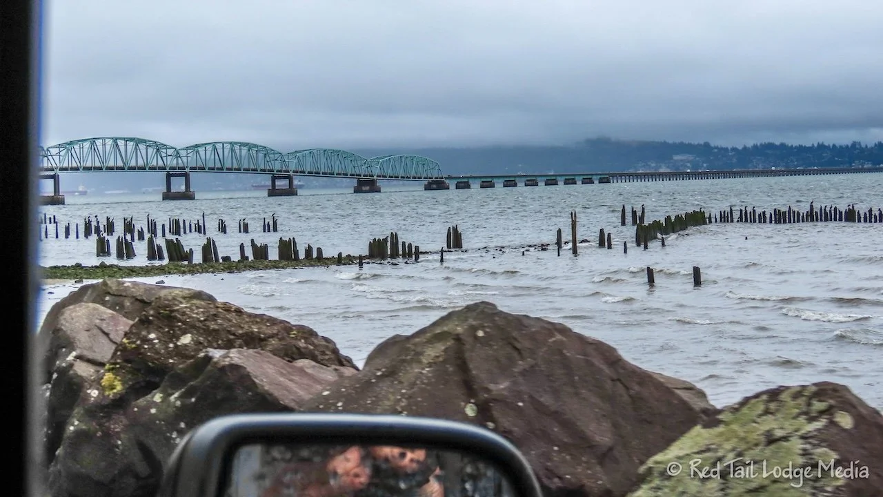
Highway 101 crosses the Columbia River over an impressively long bridge, the Astoria-Megler Bridge, which is four miles long. It is the longest continuous truss bridge in North America.
We reached Fort Stevens at about 3:30 pm. The campground is huge. After setting up camp, Ann danced inside Red Tail while Keith hung out in the back. It was still raining and, being a travel day, Ann had not closed her exercise ring yet. It’s nice to have the space inside to get some exercise.
Tuesday was a day of forts. First we drove over to Fort Clatsop. It was only about five miles away from the campground. All of the roads had wide shoulders with some of them marked as bike lanes. So we could have ridden our bikes.
Fort Clatsop is part of the Lewis and Clark National Historic Park and the Lewis & Clark National Historic Trail. It is where the Lewis and Clark Expedition, Corps of Discovery, spent the winter of 1805/1806 before starting the return trip back to St. Louis. There is a replica of the fort along with a visitor center. We toured the fort, listened to a ranger program, looked at some of the displays inside the visitor center, and watched one of the park movies. It was well worth a visit, but it would be hard to spend more than a couple of hours there. On the website, Ann saw they have a three hour ranger led kayak tour on the river, for free! That sounded like a cool experience, but they only run the tour on the weekends and we were only in the area during the week. Bummer!
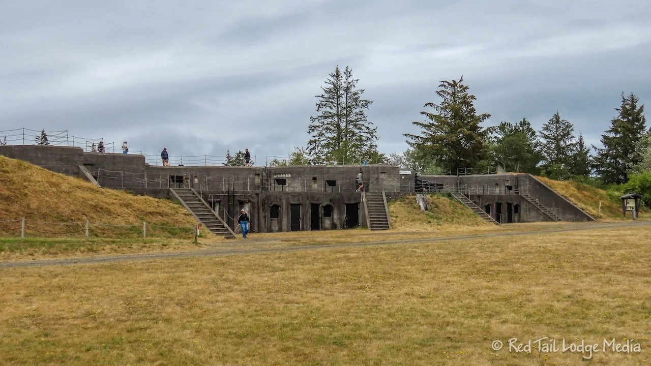
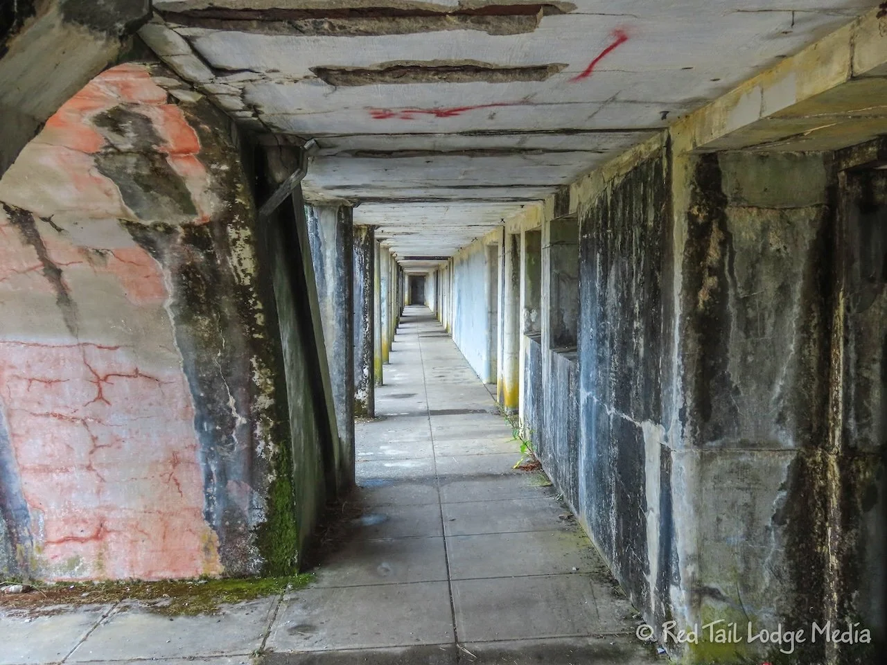
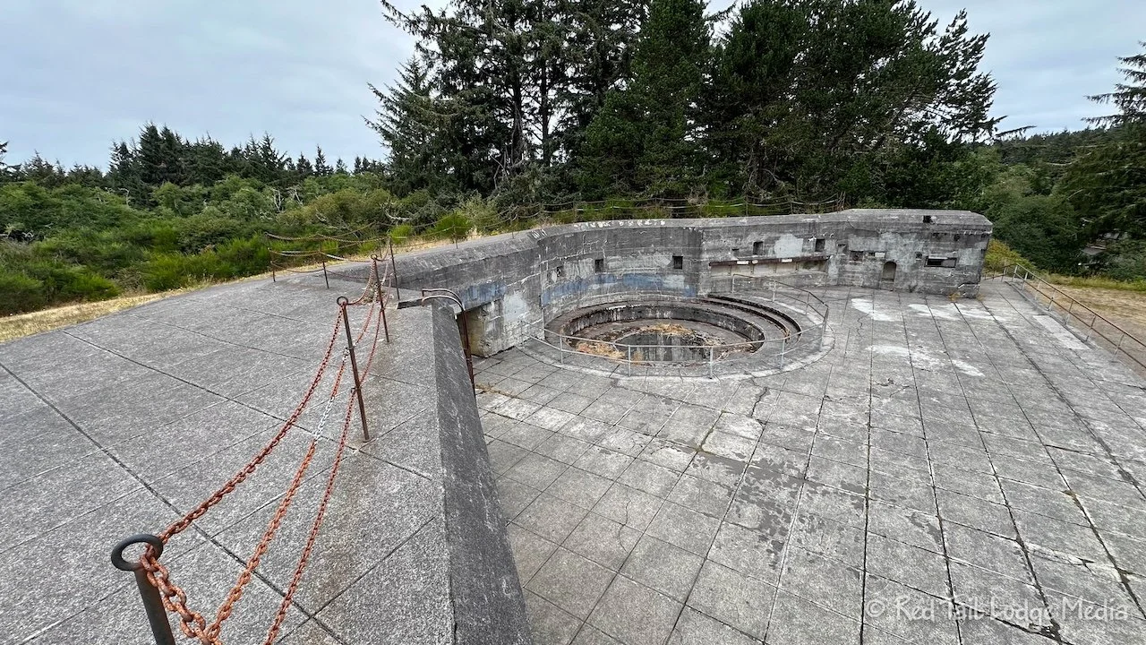
After stopping at the store to pick up a few items, we then drove over to the historic area of Fort Stevens. Fort Stevens was built at the end of the civil war and was active through World War II. We wandered around the West Batteries and a park volunteer took us for a nice tour inside Battery 245.
There was more to see, but we reached our information overload point for the day and headed back to the campground. Keith drove Red Tail back while Ann walked the paved Isaac Stevens Bike Trail to get her exercise in for the day. It was about two miles from the historic area to the campground. A lot of people were riding their bikes on the trail.
It was overcast all day, but it didn’t rain. Temperatures barely crossed into the 70’s. In the evening, a dense fog rolled in. The ground was still wet from the rain the day before, but it seemed even wetter, with puddles, the following morning. We don’t think it rained overnight. The extra moisture must have been from the fog. Yup, it definitely felt like we were in the PNW (Pacific Northwest).
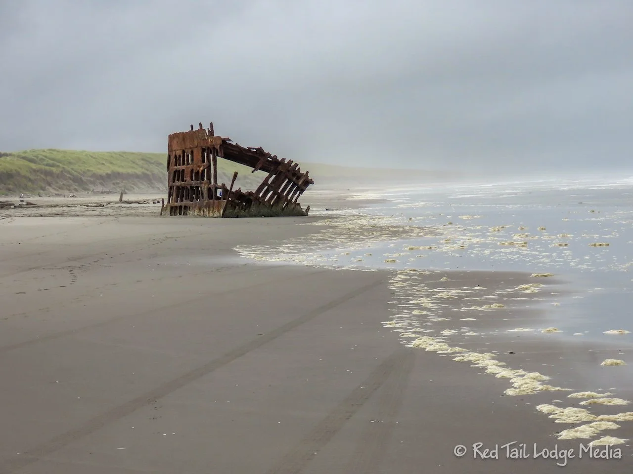
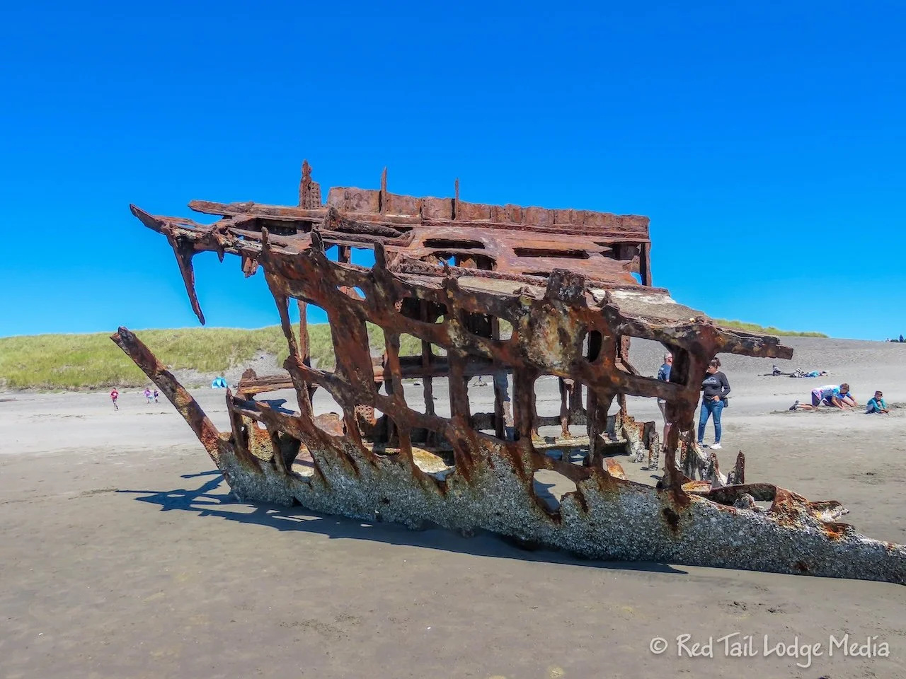
Wednesday, we explored more of the state park by bike. The park has a lovely network of paved bike trails. In the morning, we rode over to the beach. The beach is similar to that of Long Beach. It is wide, with beautiful, fine-grained black sand. The Peter Airedale shipwreck was interesting to check out. It was a British sailing ship that ran aground in 1906.
On the way back from the beach, we stopped by Coffenbury Lake. It is a small, narrow lake that looked like a great place to paddle and fish. Back at Red Tail, we ate lunch before heading out again on our bikes.
This time we headed north from the campground, checking out the Battery Russell on the way back to the historic area. We wandered around the parts of the historic area that we missed the day before. Some of the ruins were open for people to explore inside. However, they were not lit, so bring headlamps if you want to wander inside. We saw a family with young children doing just that. The swallows liked to nest inside, so you have to watch your step to avoid the bird poop on the floor. The birds flying around inside can also be rather startling in the dark.
We completed the loop by taking the Trestle Bay Trail over to Lot A. After a short walk over the dunes to the beach, we hopped back on our bikes to take the Kestrel Dune Trail back to the south beach access to check out the shipwreck again.
Ann was hoping the tide would be higher and waves might be crashing onto the wreck. However, we must have missed high tide, because the water level seemed about the same as when we were there in the morning. But the sun was out this time and there were a lot more people on the beach. They were flying kites, wading in the rough surf, and just hanging out. One family build a little campfire on the beach to stay warm. The wind was strong and temperatures were only in the 60’s. Vehicles were parked on the beach south of the beach access. Only 4x4’s are allowed for obvious reasons.
Fort Stevens State Park was our first exposure to the Oregon coast. But what was perhaps more interesting than the coast was all of the history in the area. It would have been nice to have a little bit better weather, but cool temperatures, rain and fog are to be expected in the PNW.
Check out our related video: Fort Stevens State Park, Oregon
(Ann)


